


![]()
Difficulty: middle
Fitness: middle
Fear of heights: middle
Surefootedness: middle
Distance: 5,2 km
Duration: 2:00 h
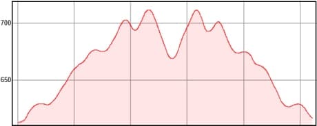
Heights: ![]()
![]() 236
236
Start/End:
Los Carrizales

Hike 87: Abache Steep Track
The Abache trail is not only a replacement for the closed Guergues trail. It has a character of its own. The Guergues trail offers the
more spectacular views. On the other hand, the path is much narrower and has exposed sections. The Abache runs quite evenly and has no
exposed sections until the threshing floor.
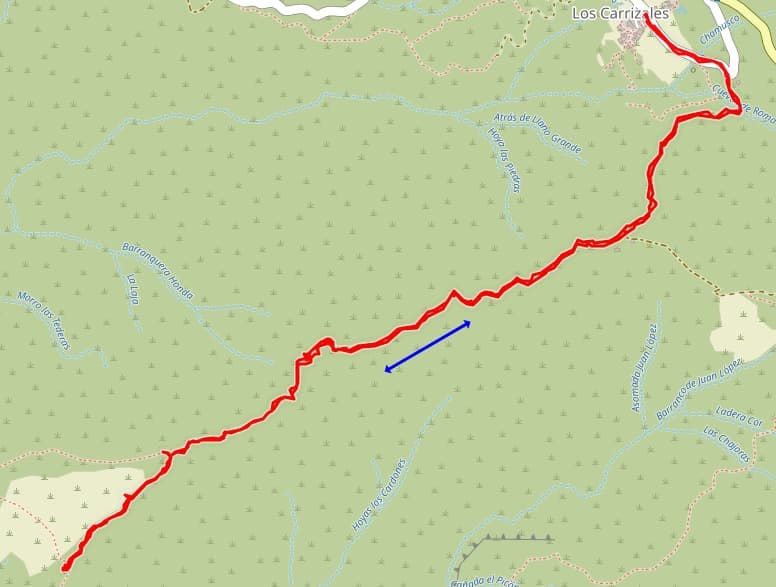
We park the car in Los Carrizales. There are a few parking spaces on the right-hand bend in the access road to the village. But you can
also drive a little further into the village and then park on the right. From there, go back along the road and immediately in the bend, turn
right onto the track. The forest road ends in a camino. On this path you go up and down again. With the GPS track, you can't miss the path.
It also shows a fork after 2.3 km, which you should continue to take on the left.
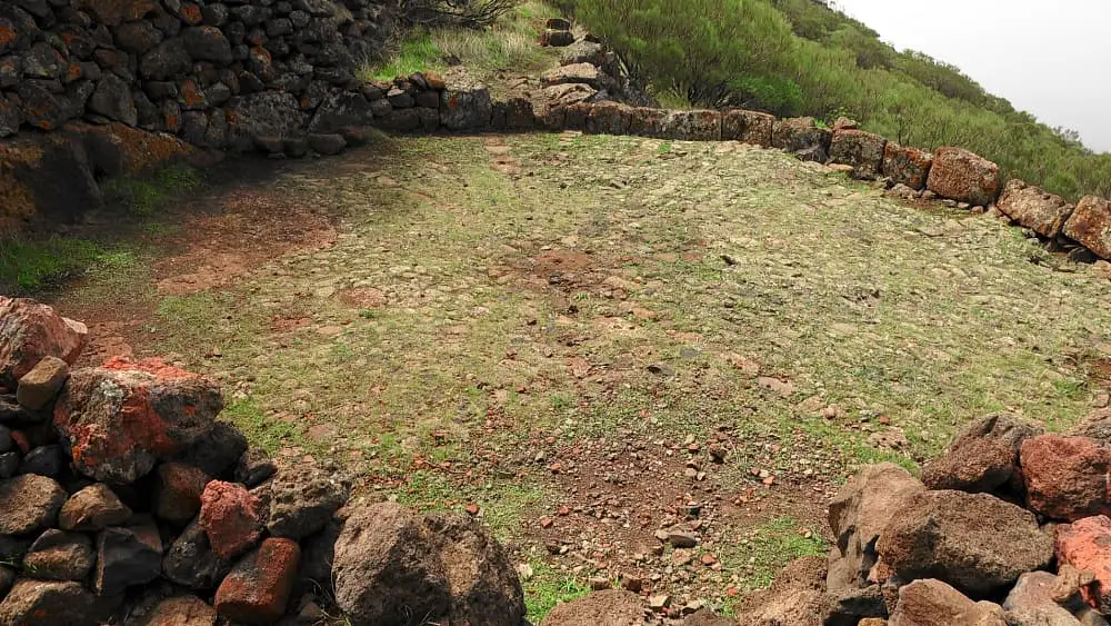
At a dilapidated hut there is a threshing floor. I went back here after a short rest. You can also walk further from there and have views of the west coast as you go along.
A detailed description of the route and the GPS track can be found in the Hiking Guide Tenerife.
Photo Gallery