


![]()
Difficulty: middle
Fitness: middle
Fear of heights: high
Surefootedness: high
Distance: 11,24 km
Duration: 5:00 h
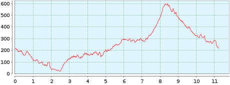
Heights: ![]()
![]() 685
685
Start: Afur
End: Afur
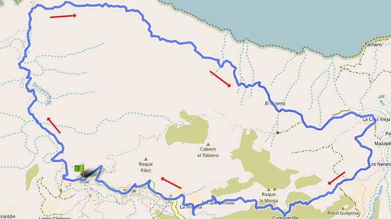

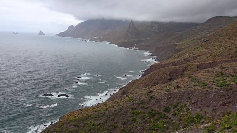
Hike 6: Afur/Taganana
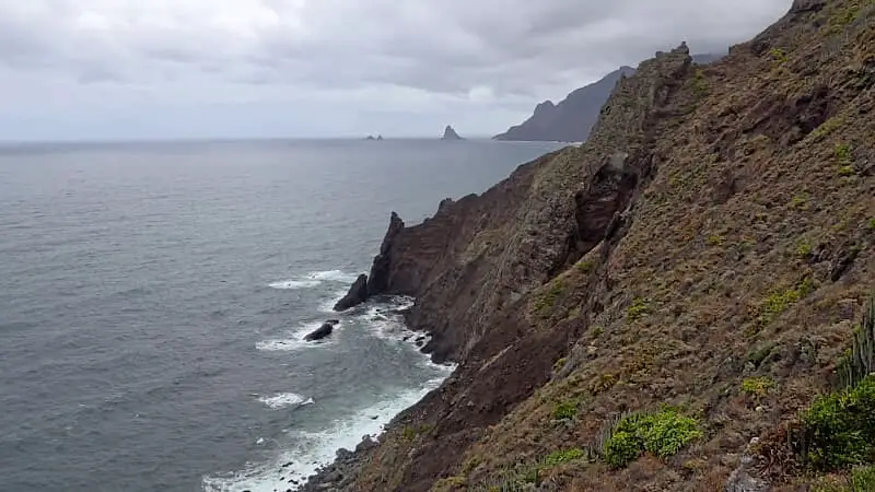
The hiking area has been a biosphere reserve since 2013. The dream tour in the Anaga Mountains begins in Afur with the crossing of the Barranco Afur o de Tamadite and leads to the playa of the same name. From here, the panoramic path along the Atlantic Ocean begins until shortly before Taganana. We did not make a detour into the town. On the last ascent over the Cumbrecilla, 300 metres in altitude have to be overcome before descending again to Afur.
A detailed description of the route and the GPS track can be found in the Hiking Guide Tenerife.
The route presented here describes the tour available from Rother. One disadvantage is the last section from Taganana to Afur at the end of the hike. With the barranco and high trail in front, this part is no longer really fun. Therefore, I recommend starting the hike in Taganana (see Tour 13). Take the sporty part at the beginning if you are still fit. Then follows the adventurous part through the Barranco. And then you can enjoy the high trail along the Atlantic Ocean.
I also checked the bus connections of TITSA. From Taganana to Afur, 3 different lines are needed. At first with L946 from Taganana to El Bailadero, then with L077 from El Bailadreo to Cruz de Taganana and after that with L076 to Afur. To make matters worse the departure times are not adjusted. So you can forget about that.
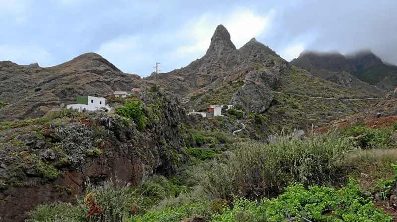
Photo Gallery