


![]()
Difficulty: middle
Fitness: middle
Fear of heights: leicht
Surefootedness: middle
Distance: 12,87 km
Duration: 4:00 h
Heights: ![]()
![]() 505
505
Start/End:
San Miguel
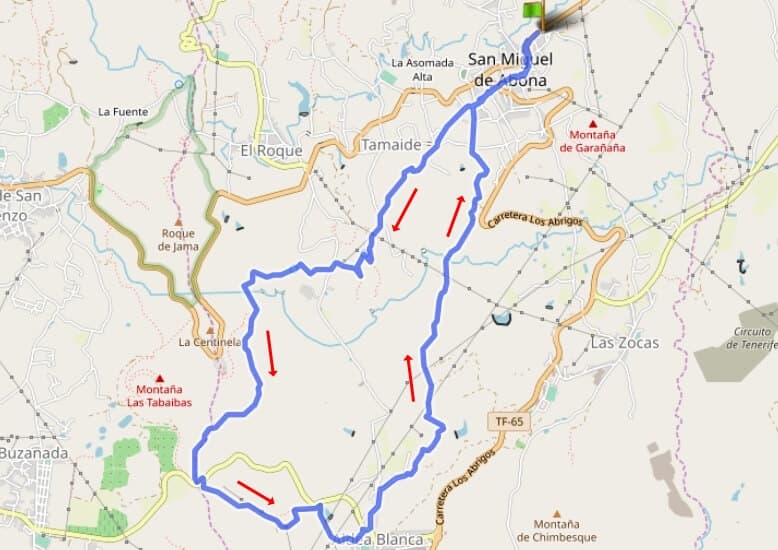

Hike 78: San Miguel/Aldea Blanca
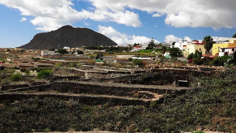
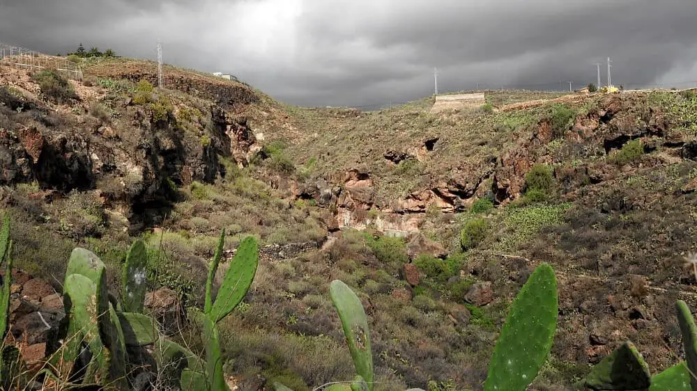
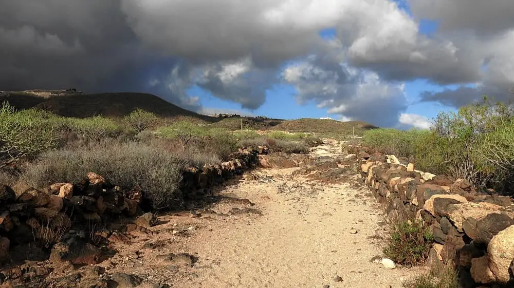
San Miguel is located in the south about 15 km from the airport. The tour offers a barranco-like descent to the small village of Aldea Blanca. We park the car on the TF-28. The path first leads to the Iglesia San Miguel. From here the descent begins on a somewhat uneven path between terraced fields. It is not a barranco although the path has that character.
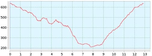
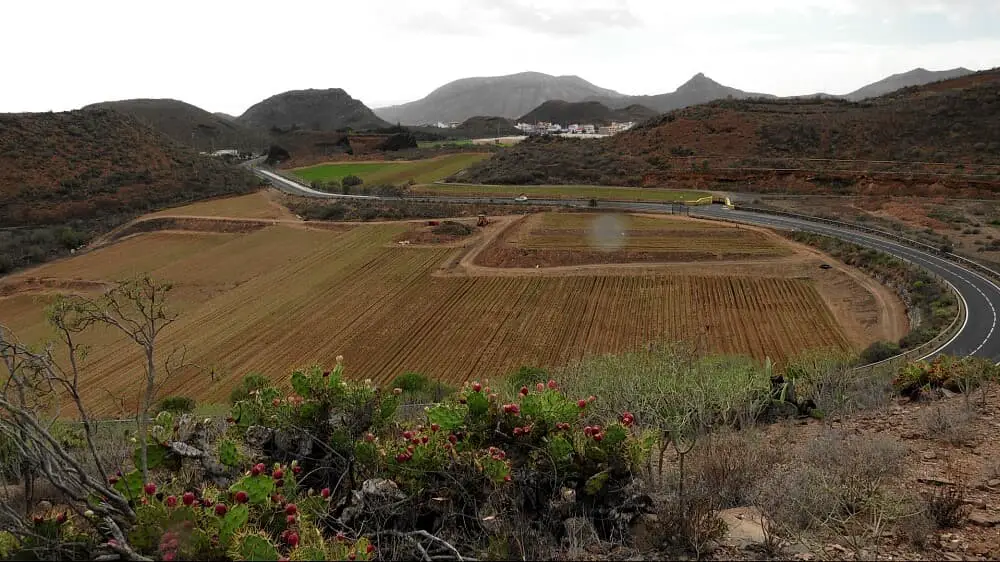
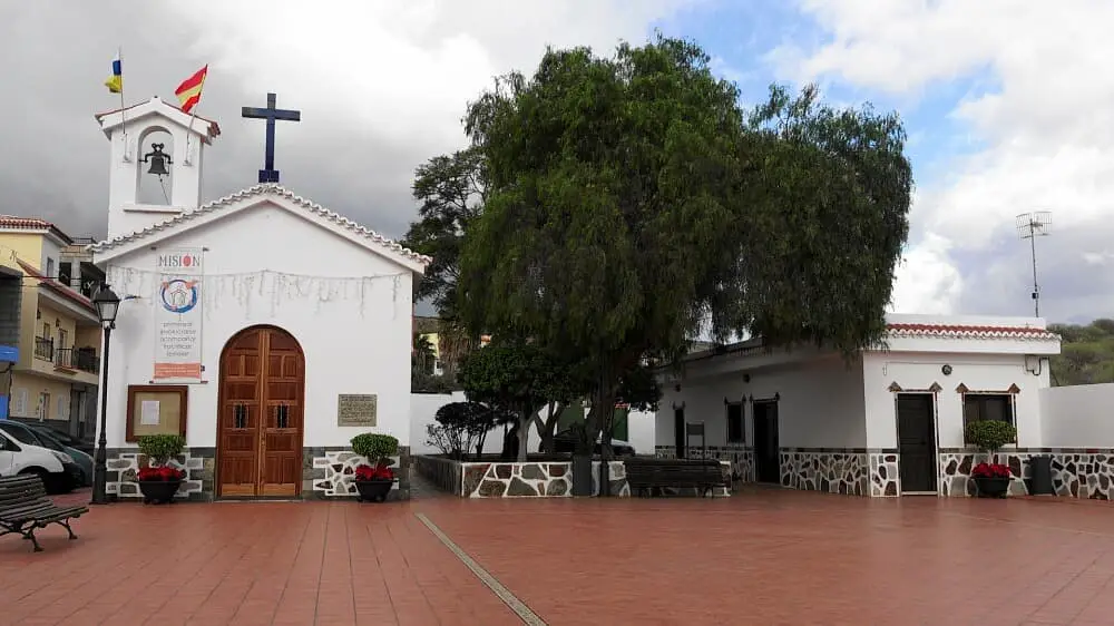
The descent to Aldea Blanca is quite long at 7.5 km. The small town is nice to look at. At the church you can take a little rest on a bench. The ascent is sometimes steep, sometimes quite even and overall not too long at 3.5 km. The circular route ends just before the church of San Miguel.
A detailed description of the route and the GPS track can be found in the Hiking Guide Tenerife.
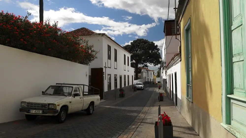
Photo Gallery