


![]()
Difficulty: easy
Fitness: easy
Fear of heights: easy
Surefootedness: middle
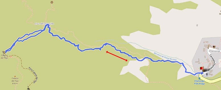
Distance: 2,94 km
Duration: 1 h
Heights: ![]()
![]() 246
246
Start/End:
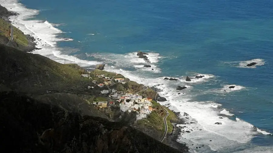
Chamorga

Hike 44: Cabezo del Tejo
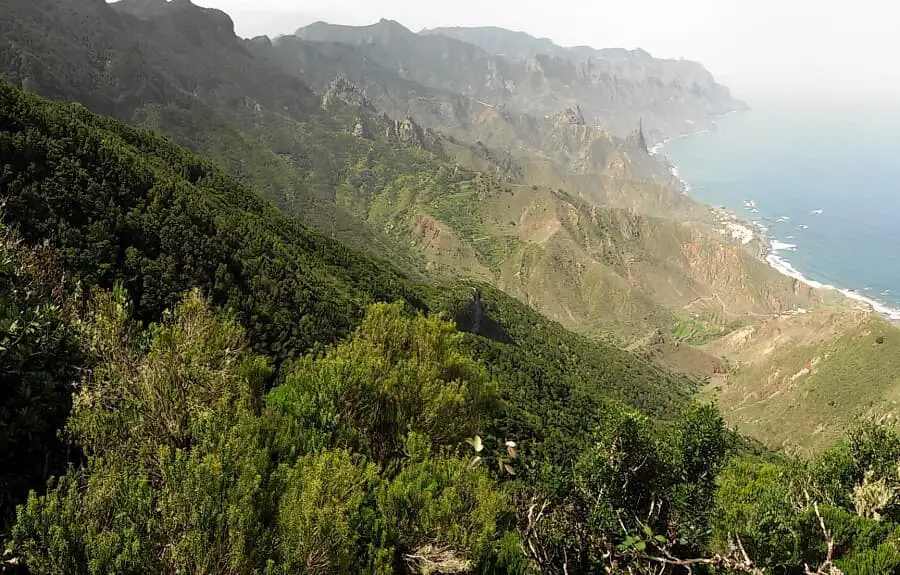
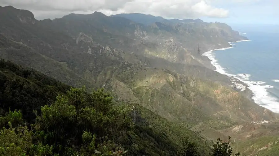
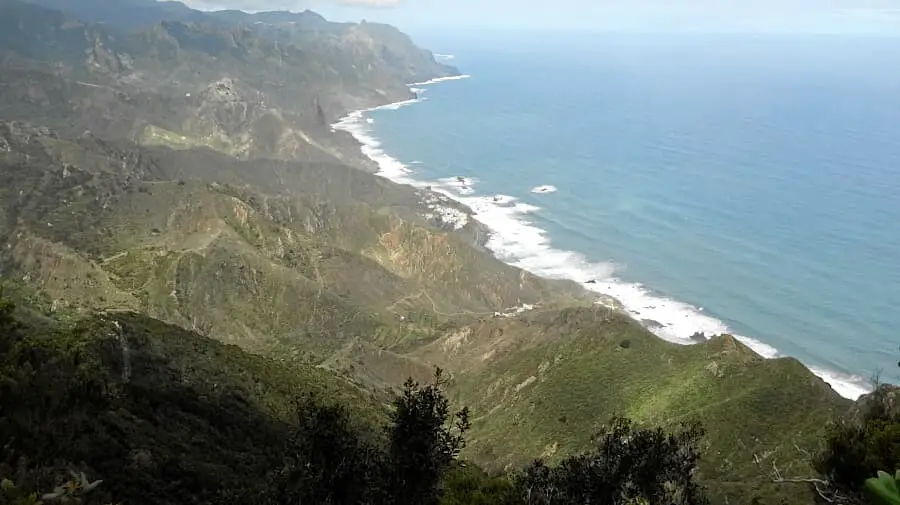
The Cabezo del Tejo is the best viewpoint mountain in the Anaga Mountains. The view from up here is simply breathtaking. The rugged rocky landscape together with the Atlantic Ocean form a grandiose backdrop. You can hike the Cabezo del Tejo in 4 ways.
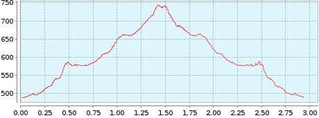
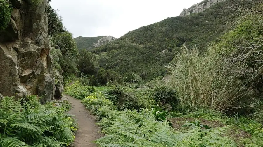
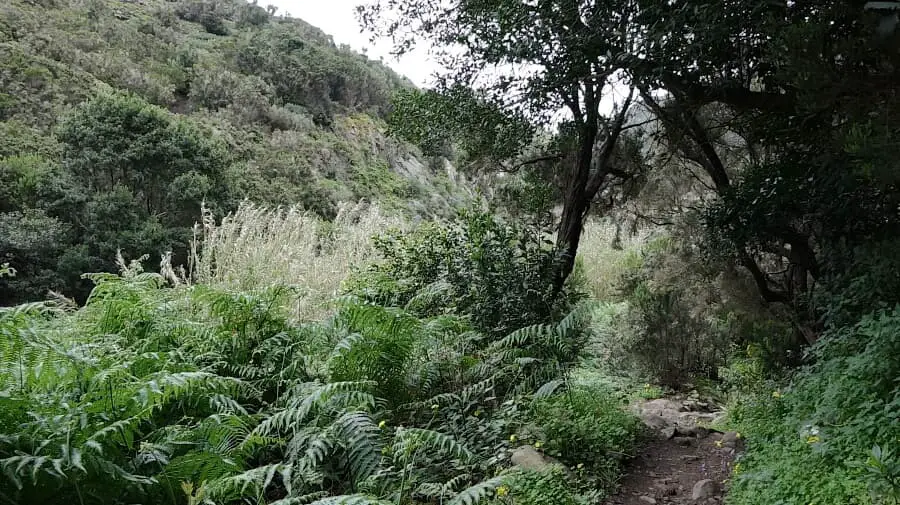
(1) The easiest way is the direct ascent from Chamorga. In just one hour, you walk up 1.5 km on a moderately difficult ascent, whereby hiking poles are very helpful, because in the upper part the path is somewhat muddy after rainfall. At Cruz del Draguillo, take the ascent on the left. The way back is via the same route. Despite the climbs, the tour is easy due to its shortness. The lower part near Chamorga offers a small barranco with vegetation typical of primeval forests.
(2) If you think that suggestion 1 is not challenging enough, you can take tour 32, which is a different story and requires a good level of fitness for the medium-difficulty tour. But all in all, this is a dream tour.
(3) If you find suggestion 2 too strenuous, you can shorten this tour and hike from the saddle of the Tafada back to Chamorga (tour 38). You go up with GPS track 32 and change to track 38 at the top of the ridge and go back to the starting point. The tour is easy to moderately difficult.
(4) I like this option very much, but unfortunately it can be quite expensive. We start at the TF-123 5 km before Chamorga. Here a sign points out a problem. As I mentioned on the overview page, the Reserva Natural Integral del Pijaral is under increased nature protection, and a special permit is required to enter it..
Actually according to the map material this path up to the Cabezo del Tejo is not affected by the restriction at all, but a parallel path. However, the sign also warns against entering this path without permission and with a fine of €601.01 in case of contravention. In any case, controls are carried out there. With the appropriate permit, you go from TF-123 to Cabezo del Tejo, from there to La Crumbilla and on to the starting point. You will find the link to the form on the overview page.
A detailed description of the route and the GPS track can be found in the Hiking Guide Tenerife.
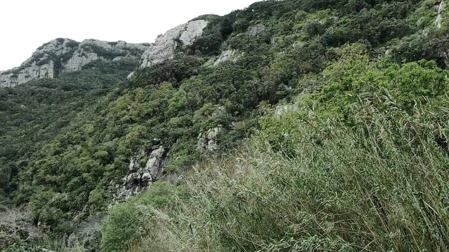
Photo Gallery