


![]()
Difficulty: middle
Fitness: high
Fear of heights: middle
Surefootedness: middle
Distance: 22,37 km
Duration: 6:00 h
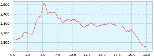
Heights: ![]() 613
613 ![]() 697
697
Start: Par.Nacional
End: El Portillo
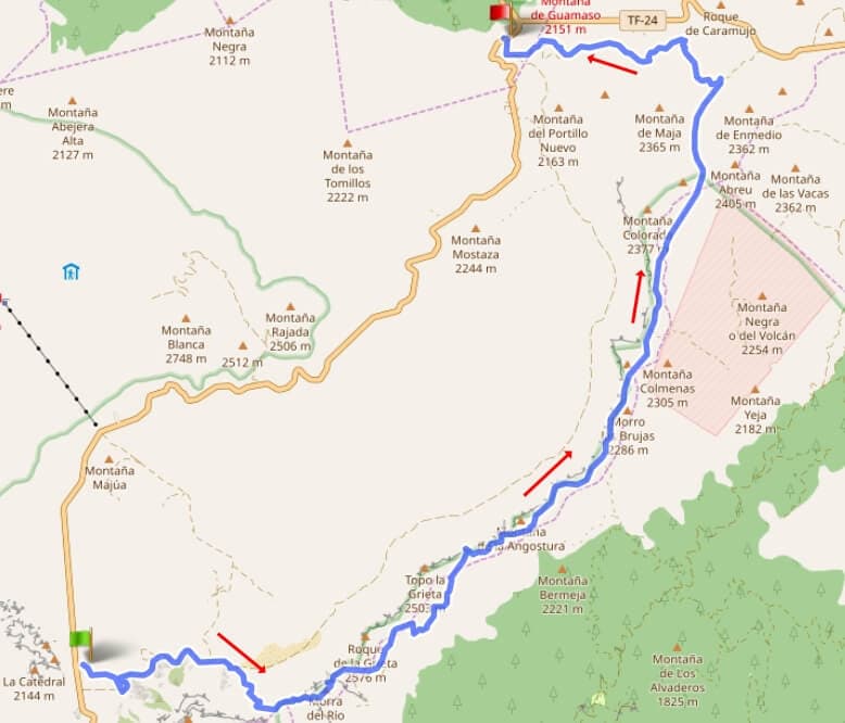

Hike 84: Caldera high trail
In May and October, all main trails in the Canadas are closed on Wednesdays and Fridays from 7 am to 2 pm. The reason is the drive hunt for the mouflons that settled here in 1970, which cause great damage to the endemic flora. These days should be avoided for this tour.
The hike starts at the Parador Nacional. Beforehand, you have to park the car at El Portillo and take bus 348 from there to the Parador. There is only one bus at 9:30 from Puerto de la Cruz. It leaves El Portillo around 10:40.
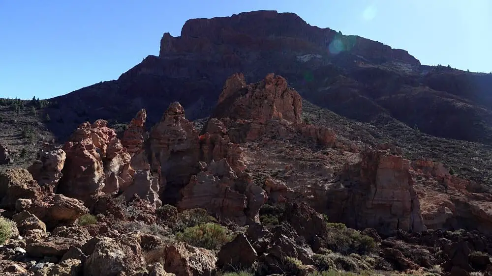
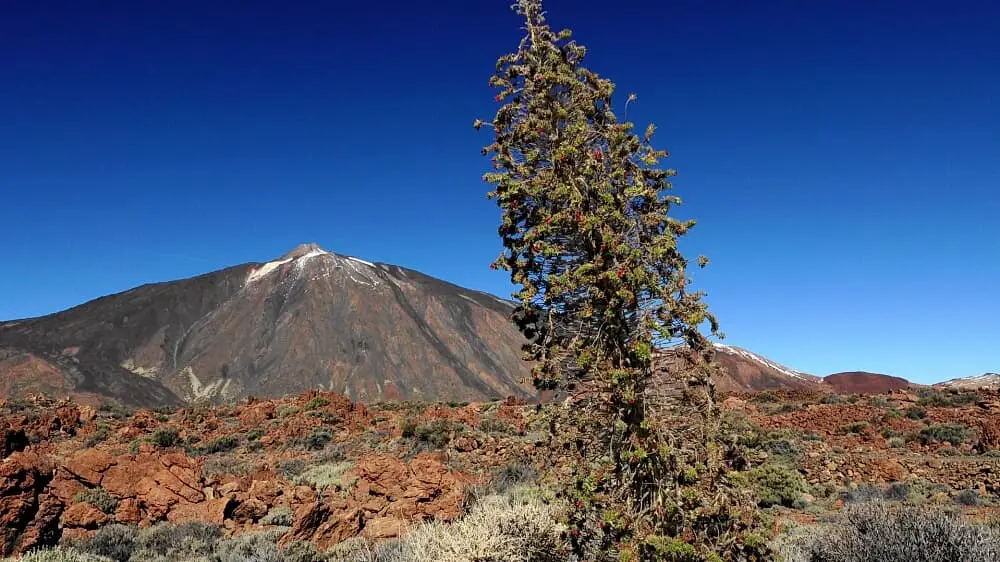
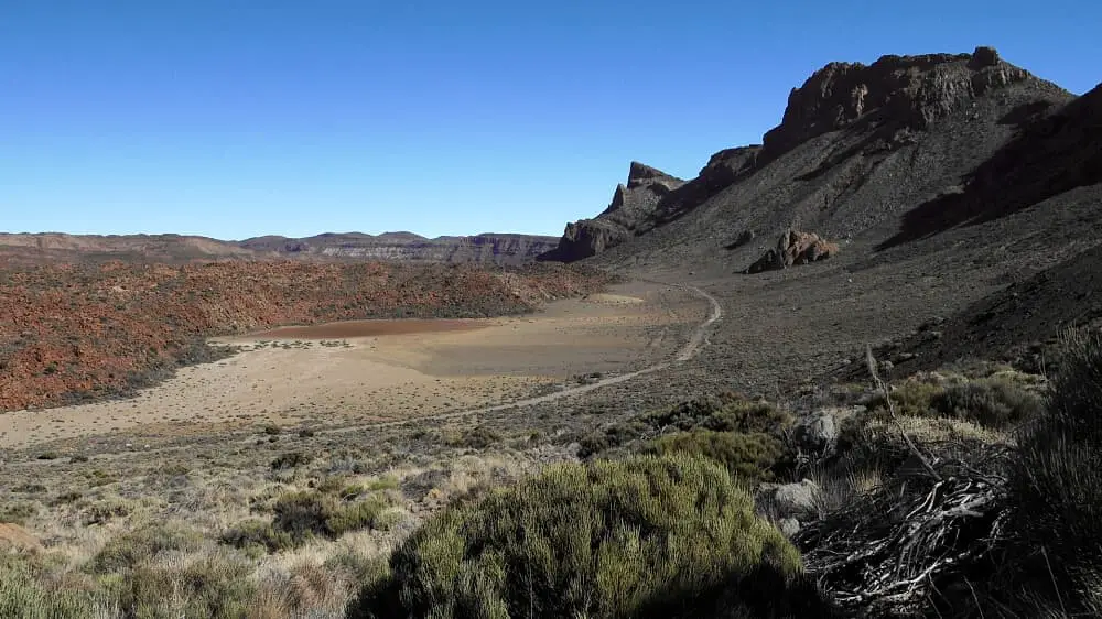
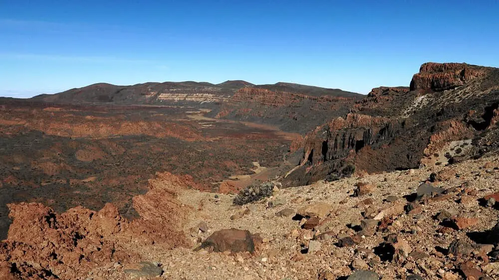
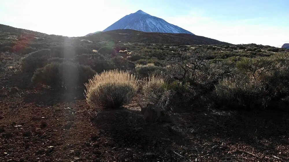
The trail first leads into the Siete Canadas to the ascent path to the saddle of the Guajara. After the ascent, we go to the summit of the Morra del Rio. In some maps the summit is also called Montana Paisajiron. A descent follows and the Roque de la Grieta is bypassed. Alternating between ascents and descents, we go up to the Arenas Negras. The last 4 km lead through the Arenas on initially bumpy, then level ground.
A detailed description of the route and the GPS track can be found in the Hiking Guide Tenerife.
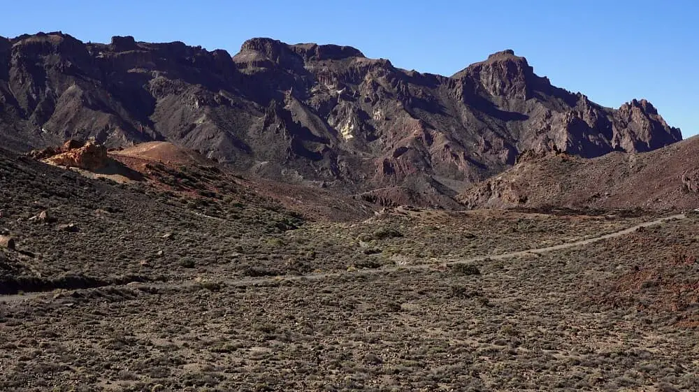
Photo Gallery