


![]()
Difficulty: easy
Fitness: easy
Fear of heights: easy
Surefootedness: easy
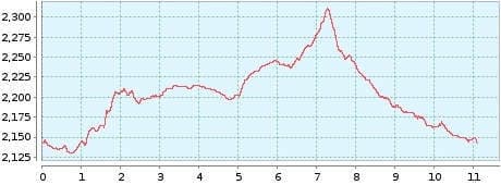
Distance: 11,09 km
Duration: 3:00 h
Heights: ![]()
![]() 215
215
Start/End:
Parador Nacional
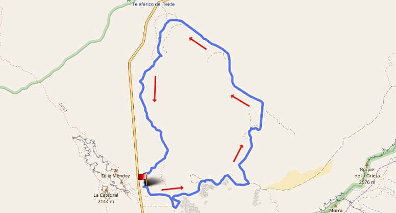

Hike 46: Canada Blanca
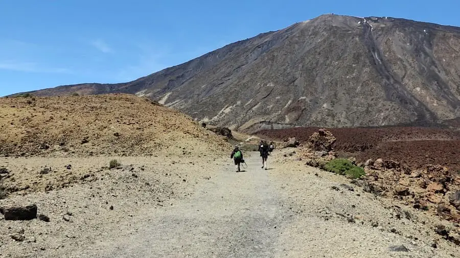
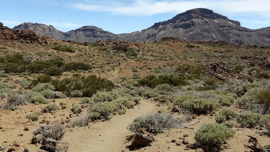
This hike takes us into the Canada Blanca of the National Park. It can be done as an entry tour into the Canadas or to get used to the altitude of 2100 metres. We park the car at the Parador Nacional. Today is one of those days where the rain clouds hang low in the north and south, but in the national park there is glorious sunshine all day.
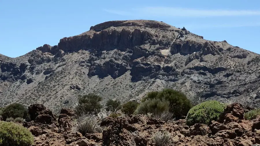
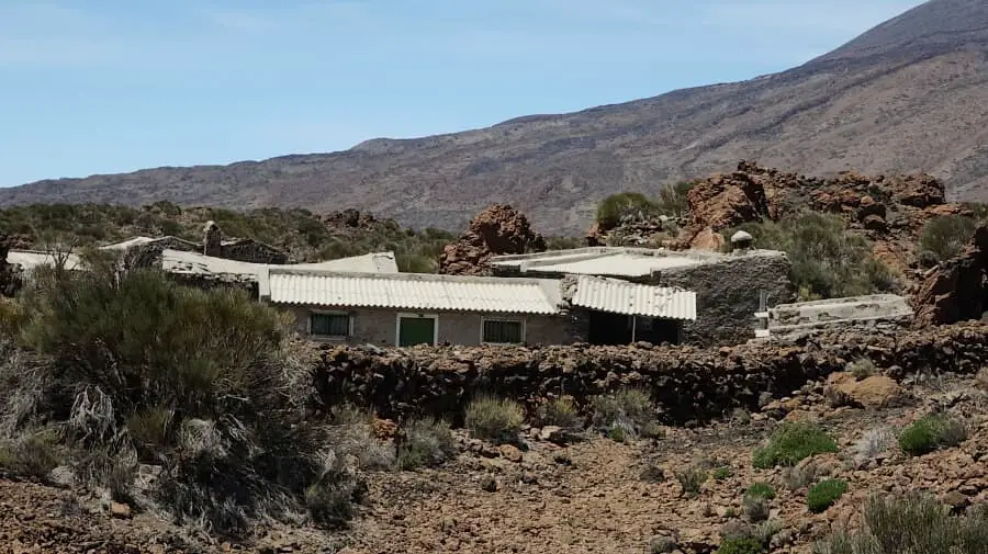
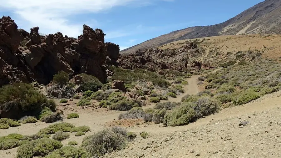
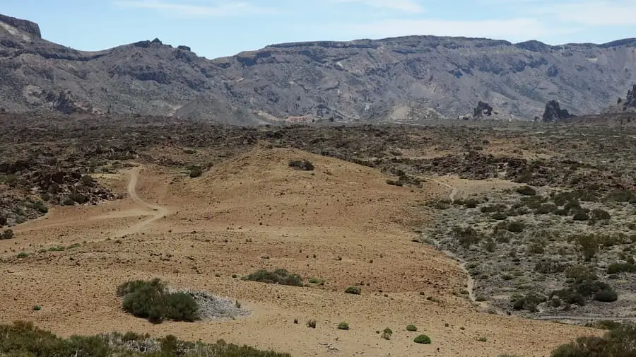
The tour leads along the main path of the Siete Canadas until the turn-off to the left after about 3 km to the former sanatorium. On the main trail, we cut back a bit over a small slope (see GPS). But you can also stay on the main path. The round now ahead of us in the Canada Blanca is 8.5 km long and has 200 metres of altitude difference. In the Canada there is largely volcanic rock. The path leads past the remains of the sanatorium until just before the valley station of the Teleferico. Here we keep to the left and it becomes clear why the Canada is called blanca = white. The high trail has light-coloured and gravel-like subsoil. The way back to the Parador is slightly sloping.
A detailed description of the route and the GPS track can be found in the Hiking Guide Tenerife.
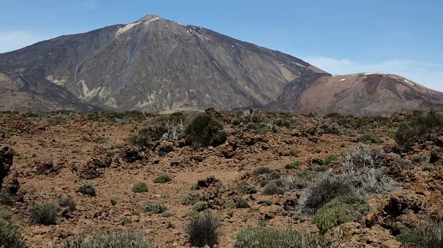
Photo Gallery