


![]()
Difficulty: middle
Fitness: middle
Fear of heights: middle
Surefootedness: middle
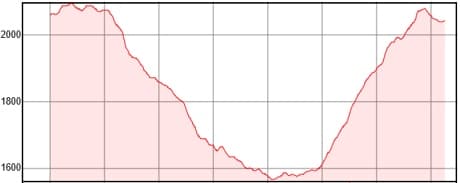
Distance: 14,6 km
Duration: 4:30 h
Heights: ![]()
![]() 602
602
Start/End:
Boca Tauce

Hike 90: Cascade Chindia
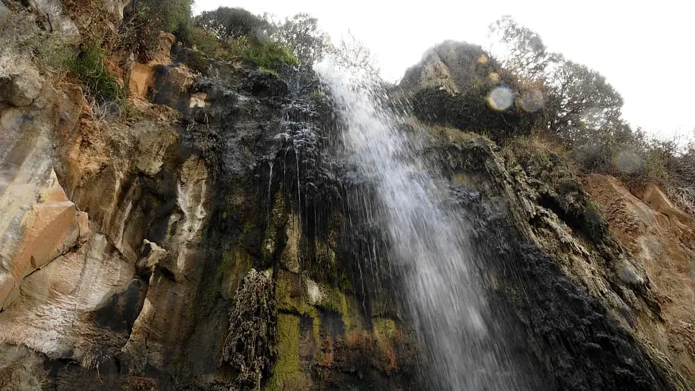
A waterfall in the Canadas? I would not have thought that possible. But at the edge of the caldera there really are springs that pour
out of the rock as a waterfall. The last ascent on this wonderful hike offers little orientation. A path is hardly recognisable. In any
case, the GPS track is needed.
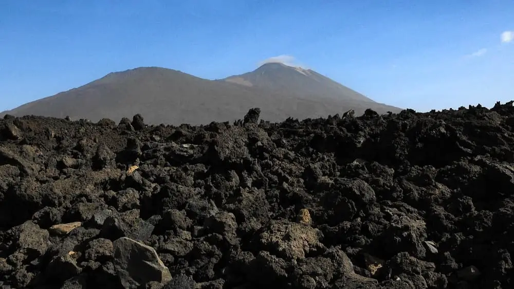
We park in Boca Tauce at the Ethnographic Museum. From here we walk parallel to the TF-38 past the Tiro del Guanche. The landscape and
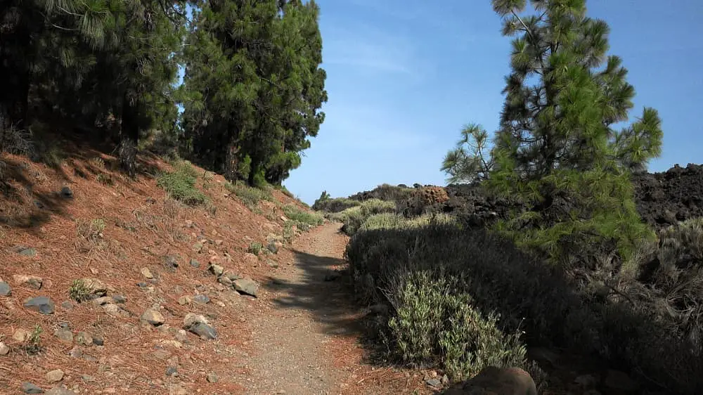
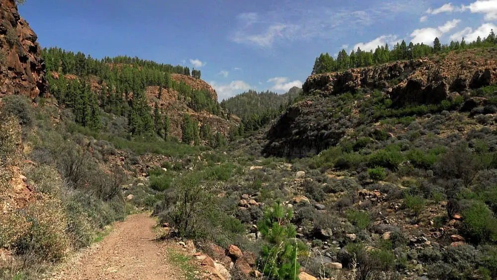
the path remind us of the Roques de Garcia. Finally, we descend on a wonderful hiking trail amidst Canary Island pines. We often cross a
forest road along the way.
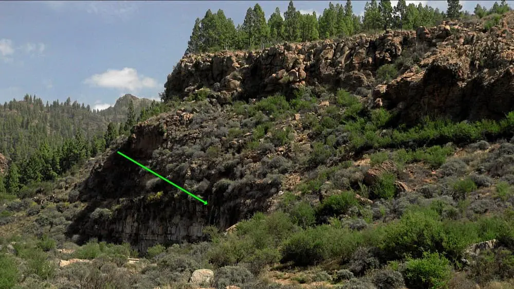
After about half of the hike the path leads us sideways on the forest road to a barranco. After a while, you can see a waterfall in a bend. We are at the Cascade Chindia. The cold water offers wonderful refreshment. It is clear that we have to take a break here. Finally we continue along the forest road and after a short while take the slope path that brings us back to Boca Tauce. The last kilometre must be walked on the TF-21. The 1.5 km before that as already mentioned offer little orientation.
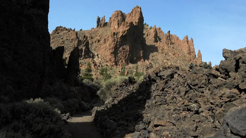
Photo Gallery