


![]()
Difficulty: middle
Fitness: middle
Fear of heights: middle
Surefootedness: middle
Distance: 6,85 km
Duration: 4:00 h
Heights: ![]()
![]() 525
525
Start/End:
Chamorga
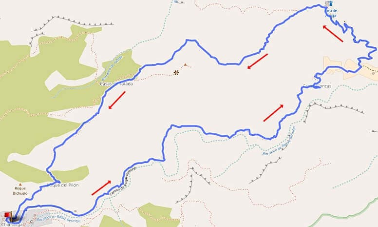

Hike 38: Barranco Bermejo
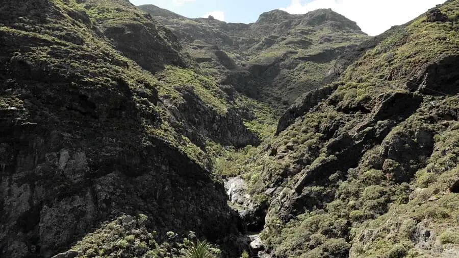
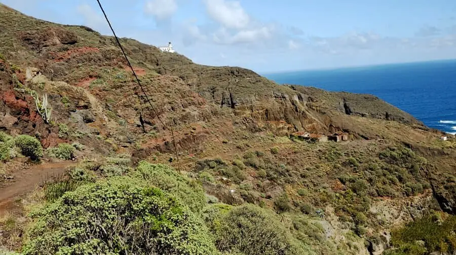
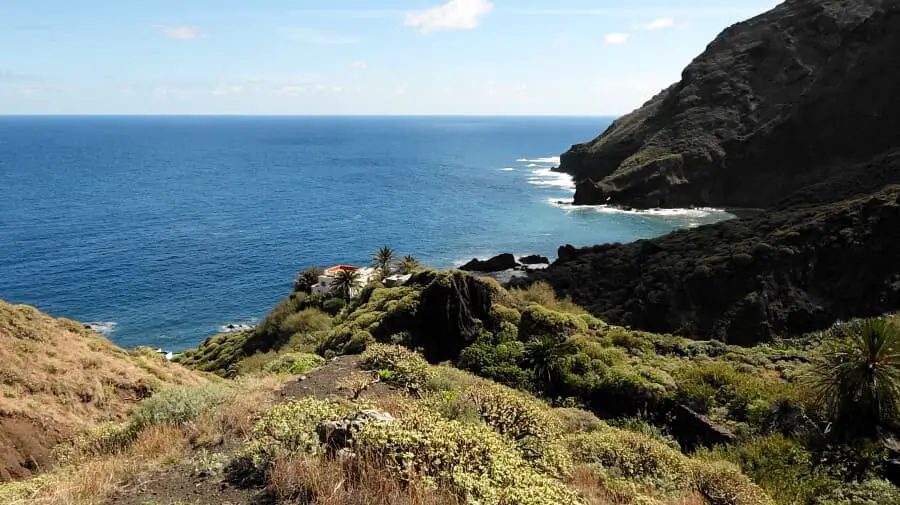
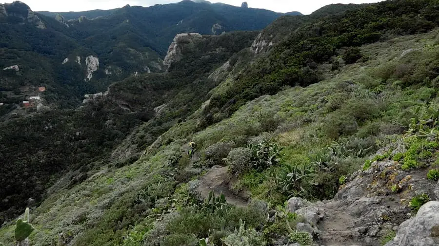
We park approximately in the centre of the village. The somewhat easier variant of Tour 32 leads downhill through the Barranco Bermejo. This impressive barranco with its lush green and rushing watercourse is much too good for a strenuous return as in Tour 32. Therefore, we hiked through the Barranco right at the beginning and were able to enjoy this beautiful piece of nature to the fullest.
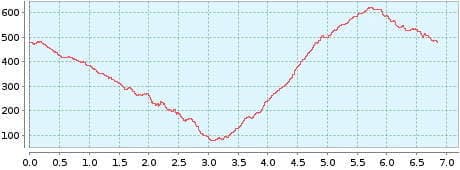
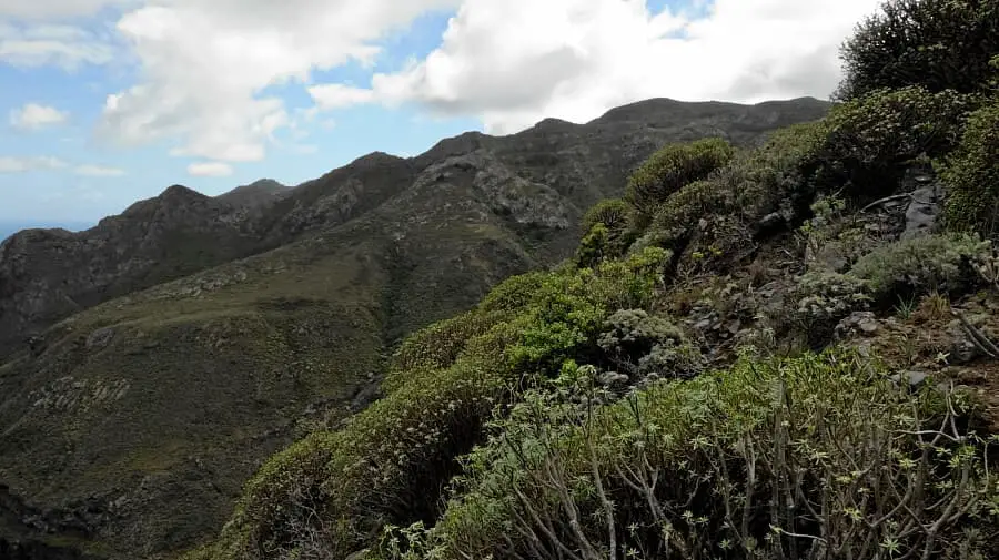
Once at Roque Bermejo, the path leads up to the Faro (lighthouse). Up to the crest, 500 metres of altitude have to be climbed in one go. From the crest, the path leads sideways down to Chamorga. Due to the metres in altitude, I classify this hike as moderately difficult. Unfortunately, this tour does not include the ascent to the Cabezo del Tejo. If you plan to do this before the actual round, you will have to cover an additional 3 kilometres with 300 metres of altitude difference.
A detailed description of the route and the GPS track can be found in the Hiking Guide Tenerife.
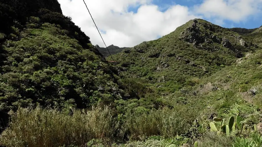
Photo Gallery