


![]()
Difficulty: high
Fitness: high
Fear of heights: easy
Surefootedness: high
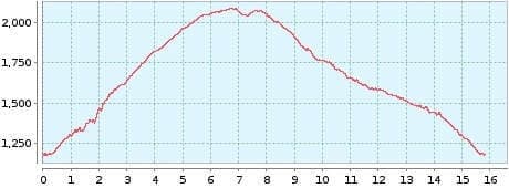
Distance: 15,81 km
Duration: 5:10 h
Heights: ![]()
![]() 928
928
Start/End:
Parkplatz Chanajiga
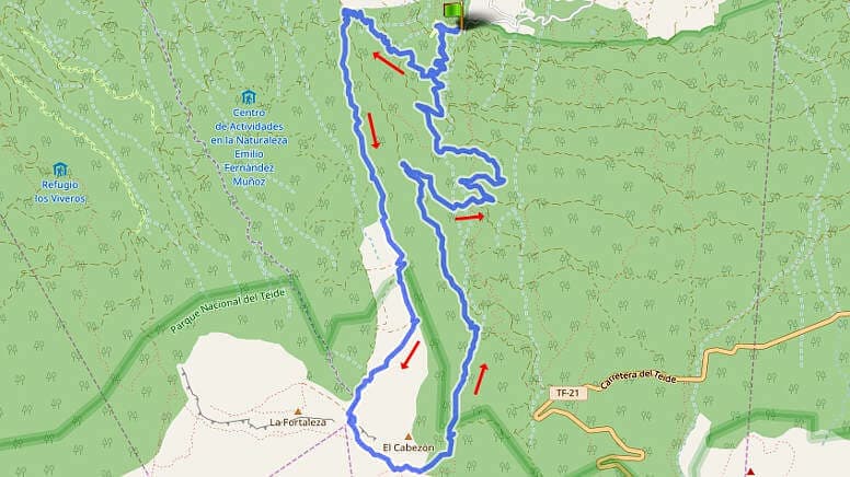

Hike 39: from Chanajiga to Fortaleza
This hike is classified as difficult due to its length, altitude difference and a section with difficult orientation. It offers the rare opportunity to hike the Canadas. To get to the Chanajiga car park, drive above Realejo Alto past Palo Blanco on the main road until you reach the Chanajiga turn-off. Then it is another 5 km to the car park.
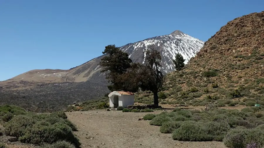
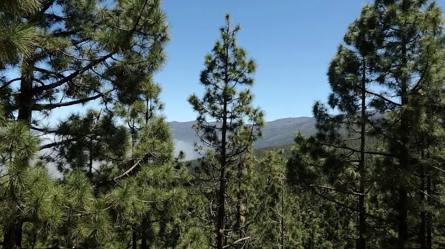
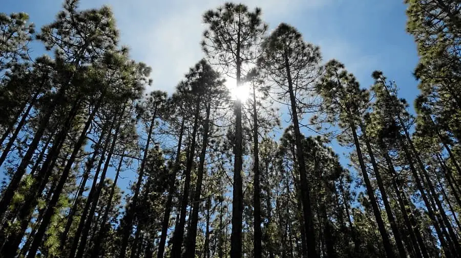
The trail leads past the Chanajiga barbecue area in a bend to the right through a forest. The ascent on the path is moderately difficult. After 1.5 km you cross a main path. Here you continue on the ascending path just opposite. The path leads to a forest road. Here we keep to the left. The ascent is easy to manage and after a short while you can see the Teide. After 4 km the National Park begins. The path now leads on open terrain to Cruz de Fregel, the small chapel at the rock fortress.
Here we go downhill onto the plain and keep left until the hiking trail descends to the left after a short while. After 1 km we leave the main trail to the left. The entrance to the path is difficult to find but with the GPS track no problem. The path leads down through a cutting in the forest. Orientation is difficult in some places. Fallen trees also get in the way in some places. But there is no need to climb and after 1.2 km we turn left onto the main path.
The easy trail descends to a crossroads where you turn right to Chanajiga. You could also go straight on, but the path is more difficult and a little longer. Our path descends in a few bends until we reach the outward path. Now we descend a short distance in a gully and we are back at the barbecue site.
Those who have already hiked the Fortaleza (tours 10 and 24) will like this alternative route. It is important to follow the GPS instructions exactly, as some lateral routes are not correctly marked on the OSM map material.
A detailed description of the route and the GPS track can be found in the Hiking Guide Tenerife.
Photo Gallery