


![]()
Difficulty: easy
Fitness: easy
Fear of heights: easy
Surefootedness: middle
Distance: 10,77 km
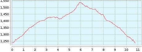
Duration: 3:00 h
Heights: ![]()
![]() 315
315
Start/End:
Las Arenas Negras
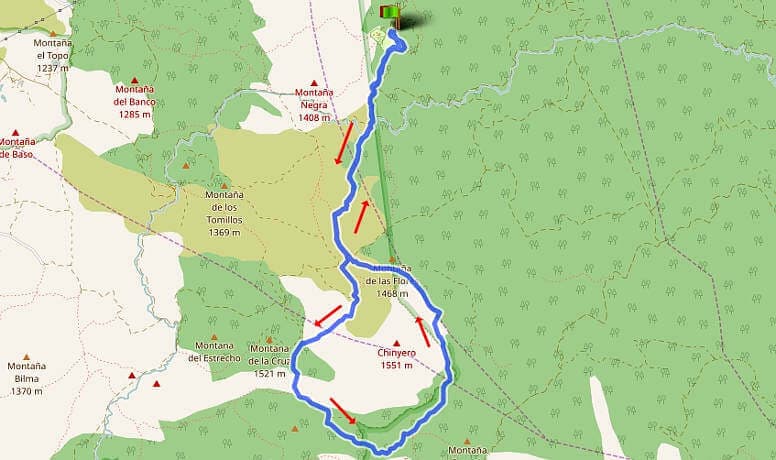

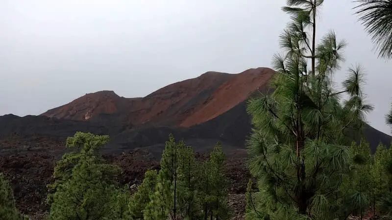
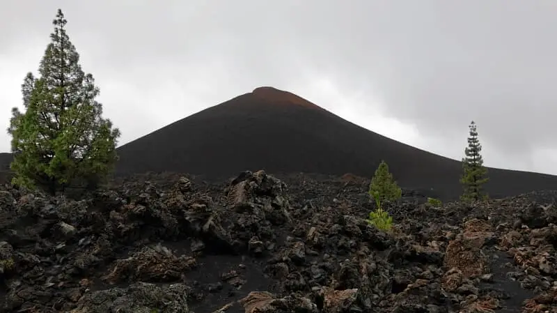
Hike 16: Chinyero
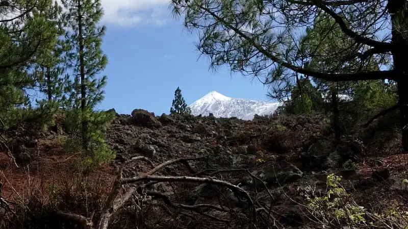
This tour was actually only an emergency solution because the access roads to the national park were closed due to storm damage. Besides Anaga, Teno and Teide, this hike offers the classic volcanic landscape known from La Palma. Lava fields, pine forest, the youngest volcano on the island and a phenomenal view of the Teide convinced us even in the partial rain.
The approach should be via Icod de los Vinos. Be sure to enter the large car park of the Arenas Negras from the lower driveway, because there are some hidden potholes on the upper one. We started the tour on a straight road without going around Volcan Garachico. We circled the Chinyero from the right. The path is easy and very varied.
A detailed description of the route and the GPS track can be found in the Hiking Guide Tenerife.
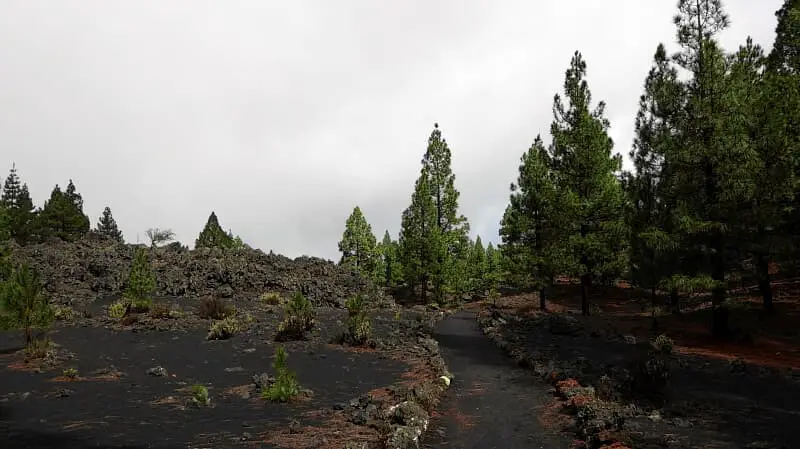
Photo Gallery