


![]()
Difficulty: middle
Fitness: middle
Fear of heights: middle
Surefootedness: middle
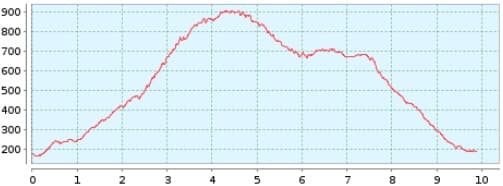
Distance: 9,89 km
Duration: 4:00 h
Heights: ![]()
![]() 768
768
Start/End:
car park Taganana
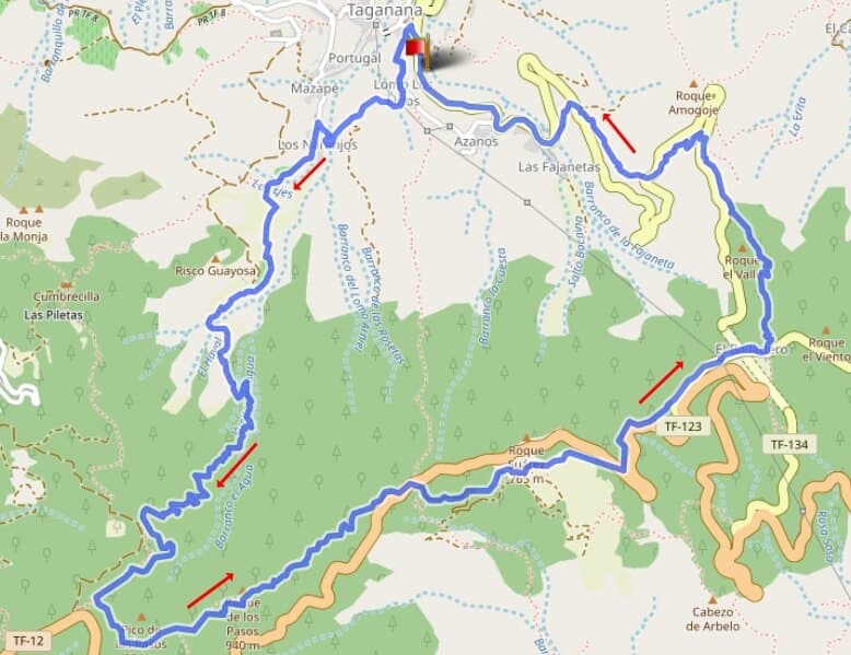

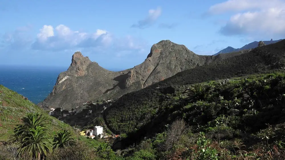
Hike 86: Taganana/El Bailadero
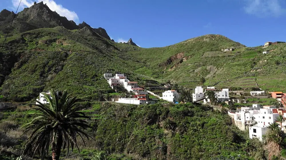
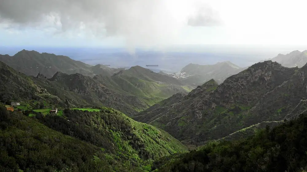
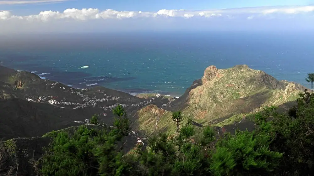
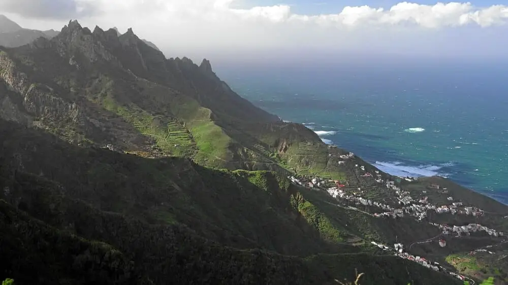
The hike offers a wonderful ascent path in the laurel forest and impressive views of Taganana and the surrounding mountain ranges. Despite the metres in altitude, the hike is not too difficult.
We park in front of the entrance to Taganana and first walk into the village. We then walk along Las Vueltas de Taganana. From here we can see the ridge in front of us. It is hard to believe that you only need just under 2 hours for this climb.
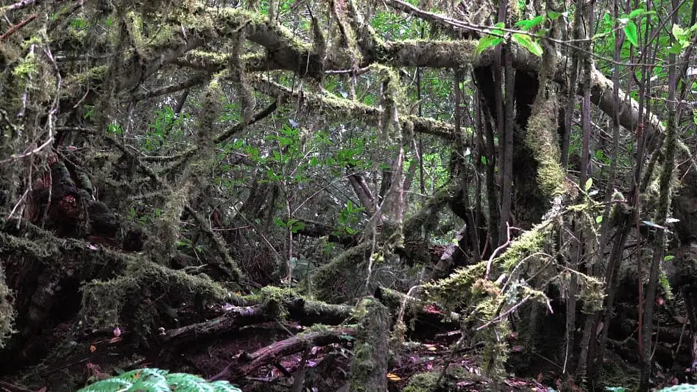
The Camino with the indication Casas Forestal is still somewhat slippery on the stones in the lower part. After reaching the laurel forest, we walk on forest soil with moderate climbs. We quickly gain height and then walk parallel to the TF-12 on the ridge.
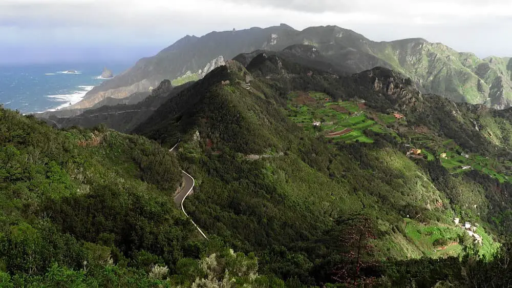
After crossing the TF-12 twice, you reach the Mirador El Bailadero. Here you can take a break. Shortly after, the descent path leads towards Taganana. The TF-134 is crossed 3 times before we walk the last metres on the road on the left parking lane back to Taganana.
A detailed description of the route and the GPS track can be found in the Hiking Guide Tenerife.
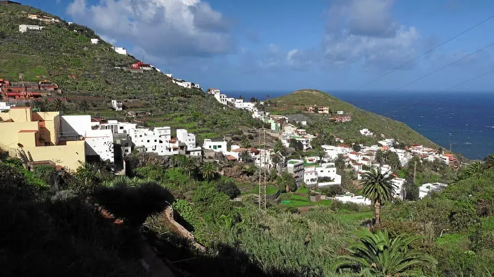
Photo Gallery