


![]()
Difficulty: easy
Fitness: easy
Fear of heights: easy
Surefootedness: easy
Distance: 6,73 km
Duration: 2:10 h
Heights: ![]() 404
404 ![]() 324
324
Start: El Palmar
End: Masca
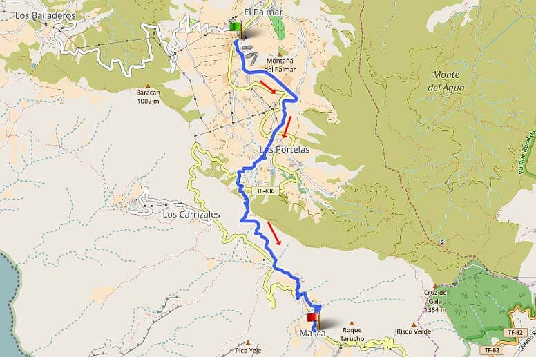

Hike 42: El Palmar/Masca
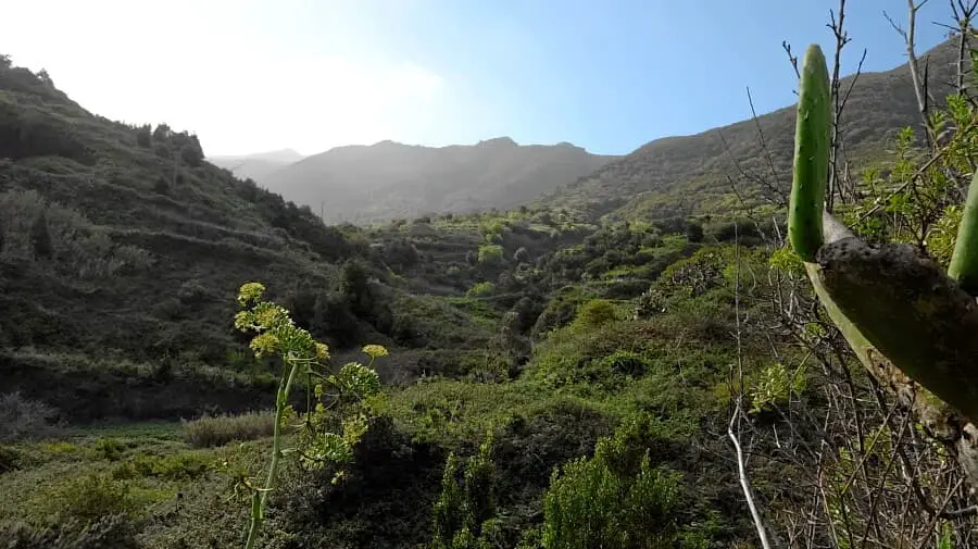
This tour leads through the valley of El Palmar up to the ridge of Cumbre de Bolico above Cruz de Hilda directly to Masca. We park the car in El Palmar behind the turnoff to Teno Alto at the bus station. From here, the path climbs gently up to the ridge of the Cumbre de Bolico, the weather divide between the humid north and the dry south. We pass Las Lagunetas and Las Portelas.
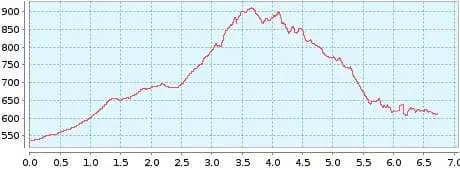
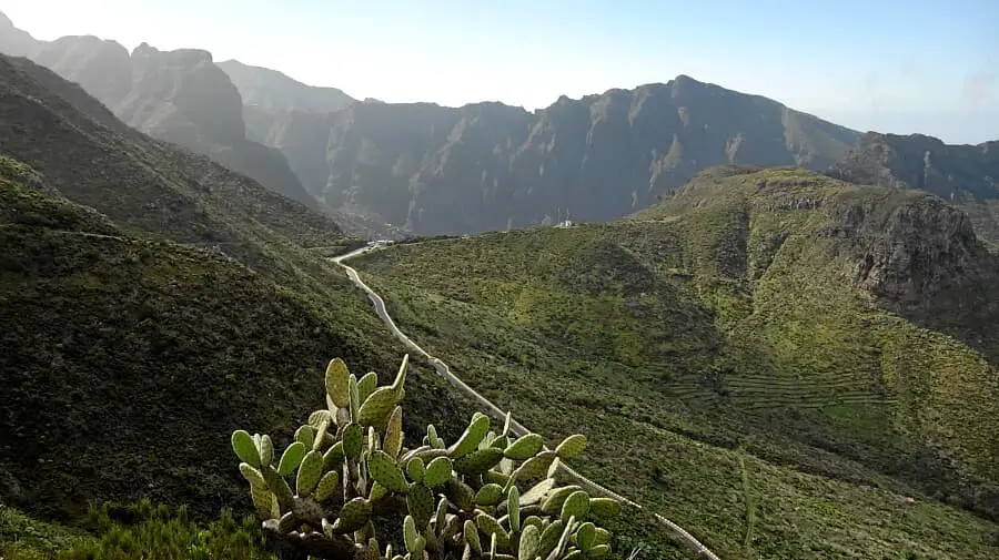
Once we reach the ridge, the wind dies down and there are wonderful panoramic views. We already know the easy ridge trail from Tour 8. It now leads slightly downhill to Cruz de Hilda. You can stop at the café and enjoy the views of Masca. We start the easy descent to Masca. First we take a hiking trail and for the last part we take the road.
[an error occurred while processing this directive]In Masca we always enjoy the flair of the small mountain village. For the return journey, we take bus 355, which takes us directly to the parked car in 20 minutes. Once there, we can stop at the restaurant La Zahorra. The speciality of the house is chicken from the charcoal grill - a unique taste experience. I recommend this easy hike to anyone who wants to experience Masca for the first time.
A detailed description of the route and the GPS track can be found in the Hiking Guide Tenerife.

Photo Gallery