


![]()
Difficulty: middle
Fitness: middle
Fear of heights: middlel
Surefootedness: middle
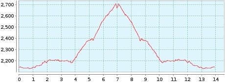
Distance: 13,91 km
Duration: 5:00 h
Heights: ![]()
![]() 634
634
Start/End:
Parador Nacional


Tour 17: normal route to Guajara
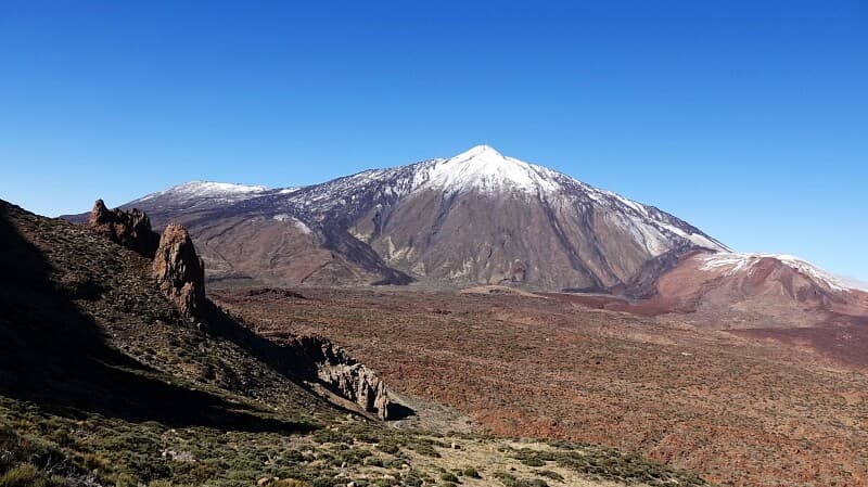
The hike leads to the third highest peak in the Canadas at 2718 metres. The Guajara with its imposing broad ridge immediately catches the eye. Due to a defect in the rental car, we could not start the hike until 12:45 at the Parador.
We climbed the easy normal route and then overlooked the entrance on the Degolada de Guajara. This meant that we were 30 minutes short again, so that after the summit we went back to the normal route for safety reasons. For the more difficult descent, we lacked a time reserve, as we absolutely wanted to be at the Parador around 18:00 before nightfall.
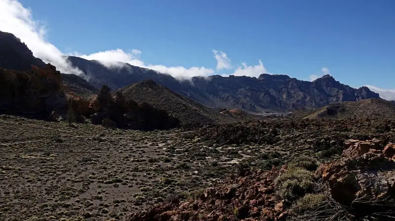
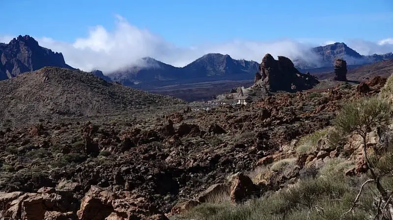
The Guajara is the most beautiful panoramic mountain in the Canadas. The views of the Teide and the crater plain are unique. The trail leads through the magnificent Siete Canadas. The ascent via the normal route is easily manageable for normally trained hikers. For the descent, we take an easy side path on gravel-like ground.
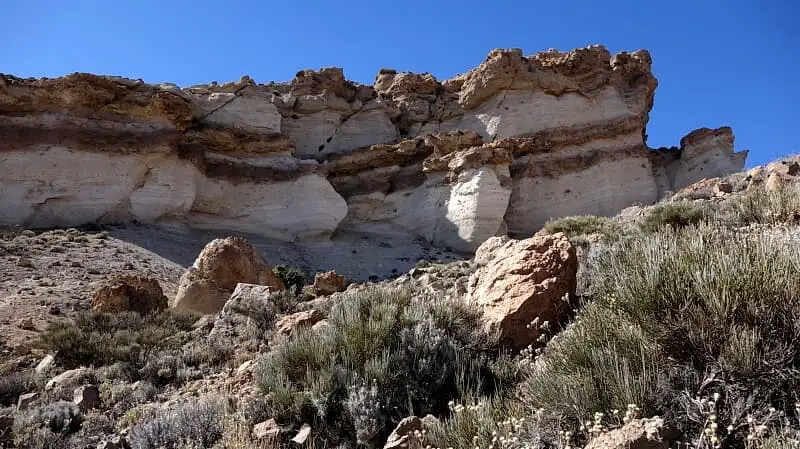
The tour was not really difficult. Only in the last part before the summit was it often difficult to see the way up. In any case, you should have hiked at 2000 metres before to get used to the altitude. Overall, the tour offered spectacular views. There were also some pumice rocks to see up close.
Tip: the first 4 km are the Siete Canadas (Tour 5). With a small time cushion, you can also enjoy this one.
A detailed description of the route and the GPS track can be found in the Hiking Guide Tenerife.
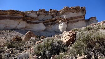
This pumice rock can only be seen on the normal route.
[an error occurred while processing this directive]
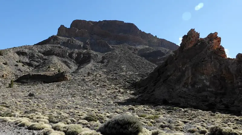
Photo Gallery