


![]()
Difficulty: easy
Fitness: easy
Fear of heights: easy
Surefootedness: middle
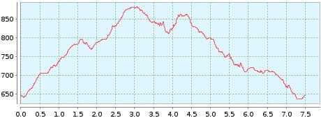
Distance: 7,50 km
Duration: 2:20 h
Heights: ![]()
![]() 314
314
Start/End:
Las Vegas


Hike 60: Las Vegas
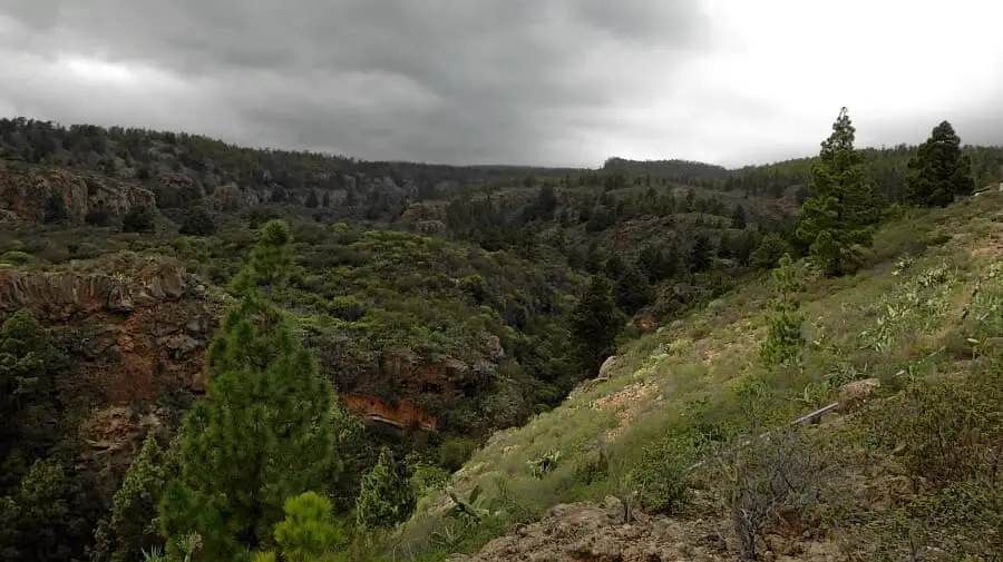
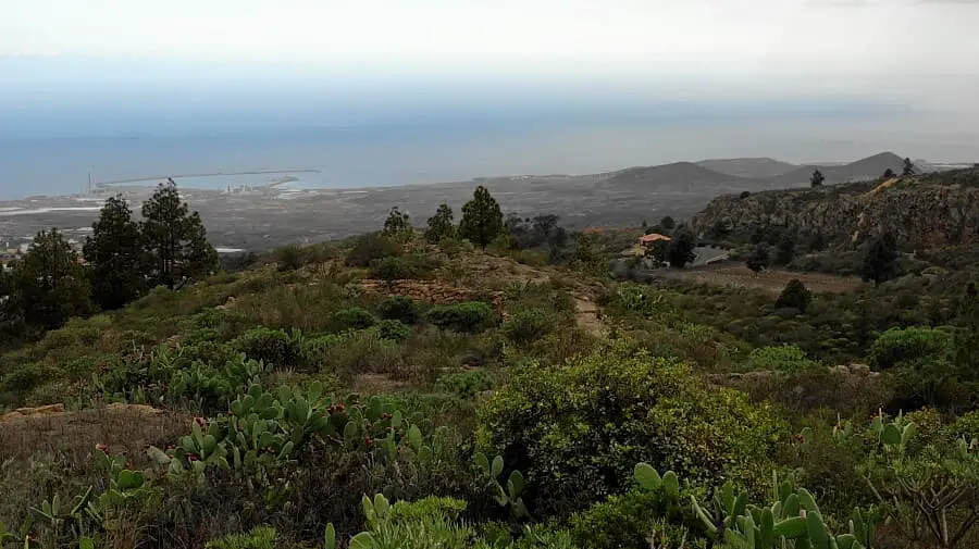
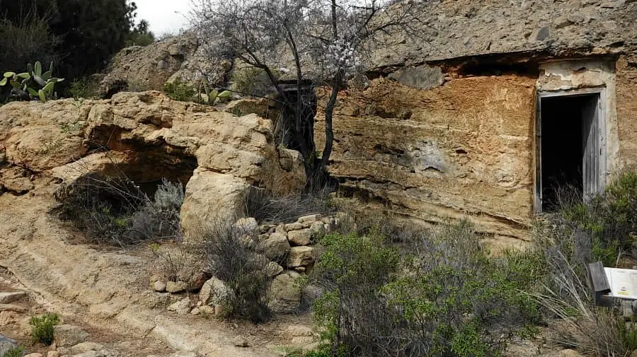
This small and fine hike begins in the southern mountain village of Las Vegas. Here there is no hustle and bustle far and wide. You can enjoy nature with a view of the south coast in a quiet way. We park at the entrance to Las Vegas and walk out of the village to the left up a slope. This is where the well-marked path begins, which is paved for the entire loop.
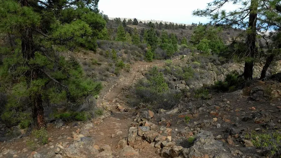
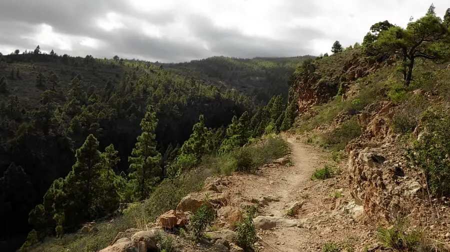
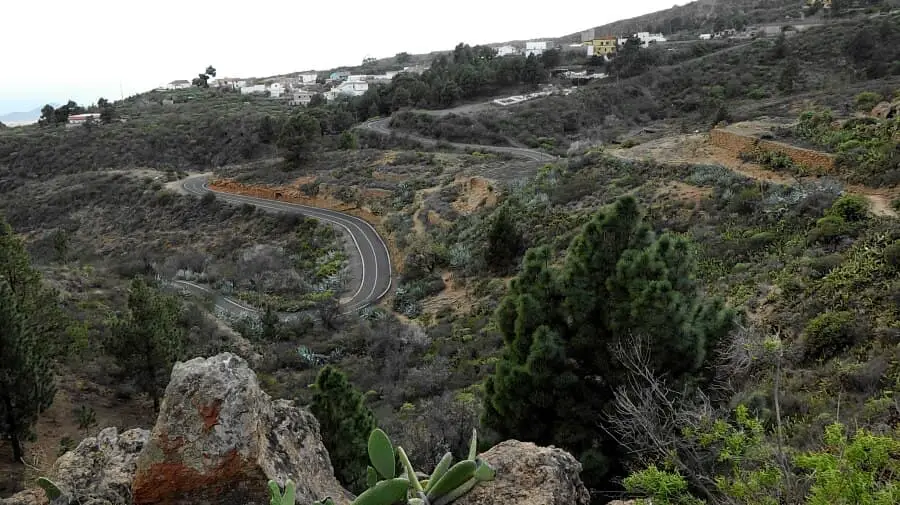
After 2 km we keep to the left and continue along the Camino del Molino. The ground is sometimes in the manner of barrancos and a bit bumpy but never really difficult and no problem with hiking boots. After about half of the way, we have to turn left towards El Seco, although Las Vegas is signposted to the right. The left path leads us after 5 km to the right on the Camino de Las Vegas back to the village.
A detailed description of the route and the GPS track can be found in the Hiking Guide Tenerife.
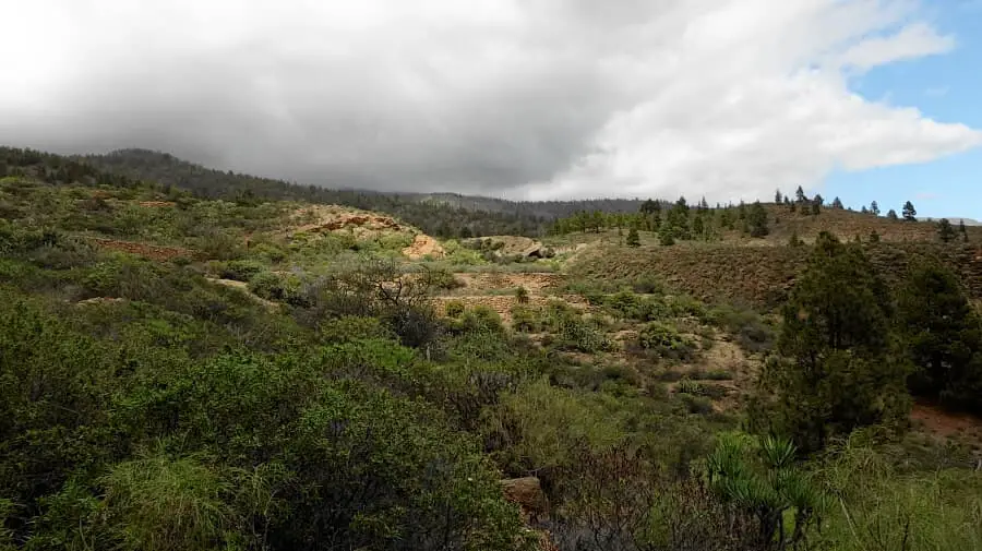
Photo Gallery