


![]()
Difficulty: middle
Fitness: middle
Fear of heights: middle
Surefootedness: high
Distance: 10,42 km
Duration: 3:40 h
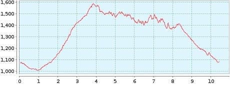
Heights: ![]()
![]() 697
697
Start/End:
Parkplatz Aguamansa


Hike 34: Los Organos
In September 2015 we did the small version (Tour 22) and after extensive research I planned the big loop with a small diversions. In February 2016, the time had come. The big loop was fantastic and had no adverse effects. We parked the car at the hikers' car park in Aguamansa. This free car park is open until 15:00 in the winter months (14:00 in summer). Due to the clouds coming in at noon, it is best to start the tour as early as possible.
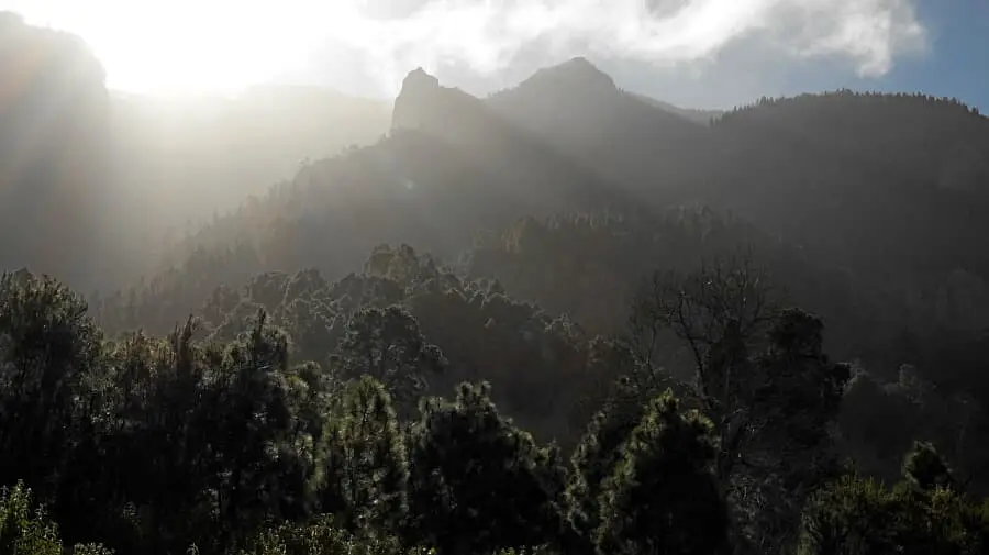
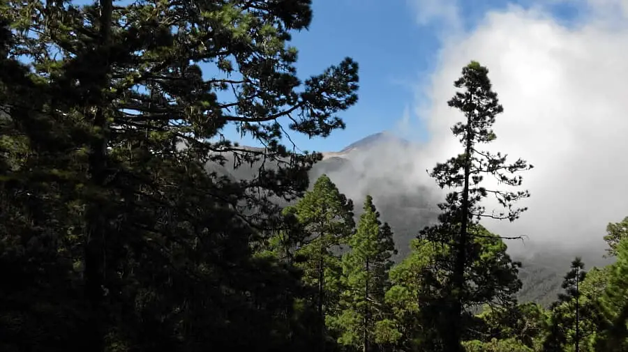
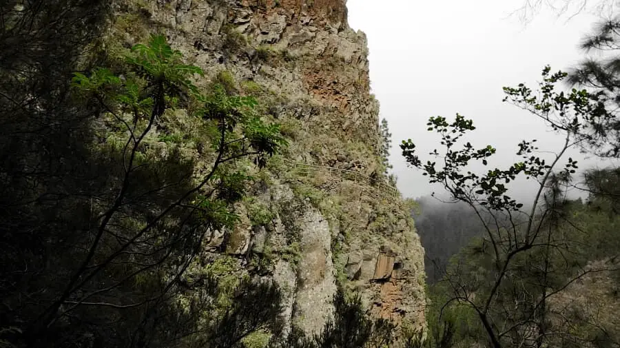
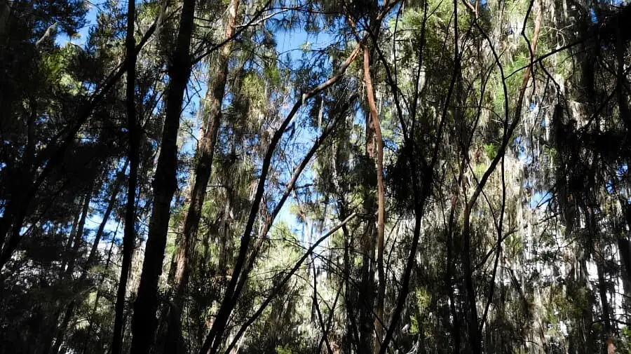
The trail starts through a small forest and then leads through open terrain, where you have a dreamlike view of the Organos. This section of the trail is identical to Tour 22. The diversions I had planned is around the Barranco Madre del Agua. This is not passable due to rock slides. At the northern bend, the path at Portillo el Topo was blocked with some wooden boards. However, there was no additional warning sign, which indicates that it is an old closure. The high trail that followed had no rockfalls. The path and all path protections (railings) were intact.
At the southern hairpin bend, there was again an old barrier fence that had prevented us from climbing in 2014. The descent to Choza de Pedro Gil follows. This officially cleared path is much steeper and more dangerous than the closed area. After rainfall, this tour should be avoided, as the descent is slippery even in dry conditions. The last section from Pedro Gil to the car park is quite easy.
A detailed description of the route and the GPS track can be found in the Hiking Guide Tenerife.
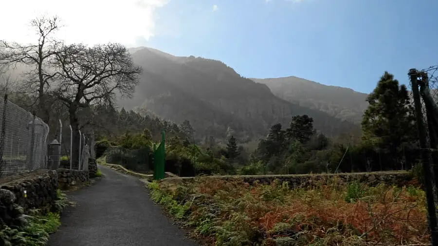
Photo Gallery