


![]()
Difficulty: easy
Fitness: easy
Fear of heights: easy
Surefootedness: middle
Distance: 10,65 km
Duration: 3:15 h
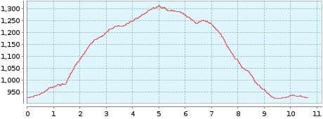
Heights: ![]()
![]() 407
407
Start/End:
Santiago del Teide
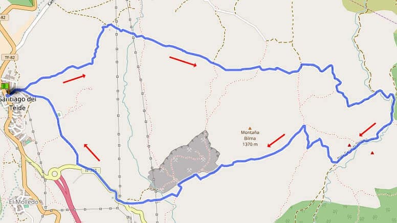

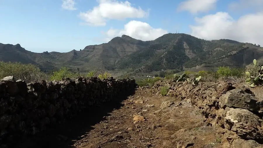
Hike 37: Montana de la Cruz
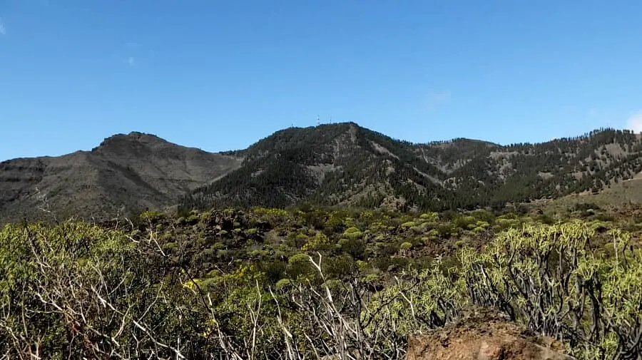
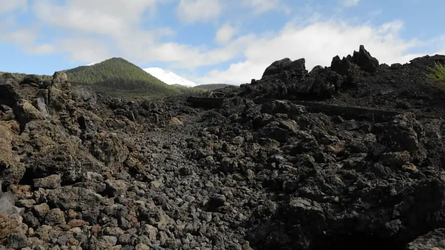
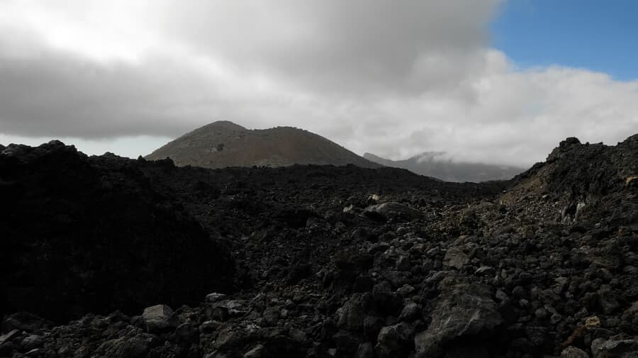
This quiet hike takes us into the volcanic landscape of the Chinyero. We park on the main road of Santiago del Teide and start the tour from the left. After a short while, the Chinyero and, as we continue, the Teide are in view. On the eastern flank of the hike we are on the typical volcanic fields.
Exactly halfway through the tour, there is the option of climbing Montana de la Cruz. This makes the hike 3 km longer with 180 additional metres of altitude. As we started late, we do without the ascent and start on the way back. It leads back to Santiago del Teide with a large curve.
A detailed description of the route and the GPS track can be found in the Hiking Guide Tenerife.
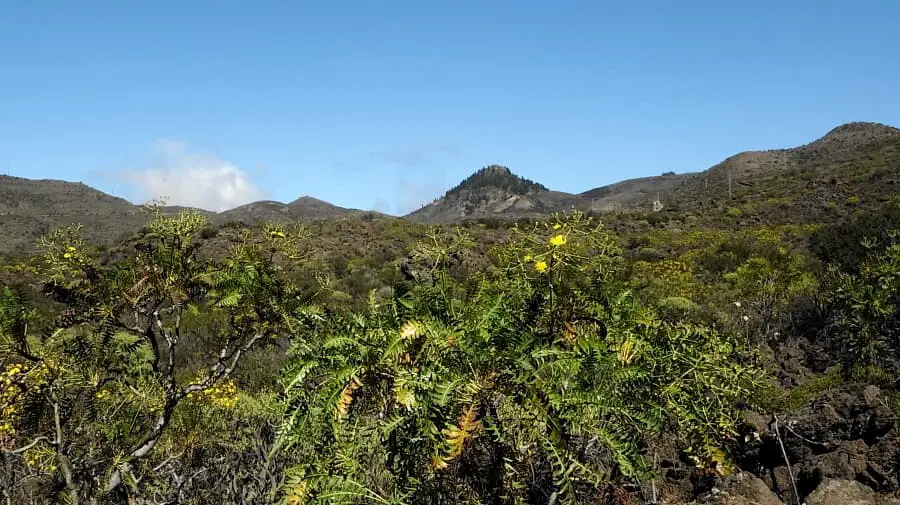
Photo Gallery