


![]()
Difficulty: high
Fitness: high
Fear of heights: easy
Surefootedness: high
Distance: 12,71 km
Duration: 4:45 h
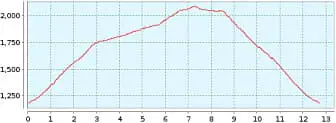
Heights: ![]()
![]() 910
910
Start/End:
Aguamansa
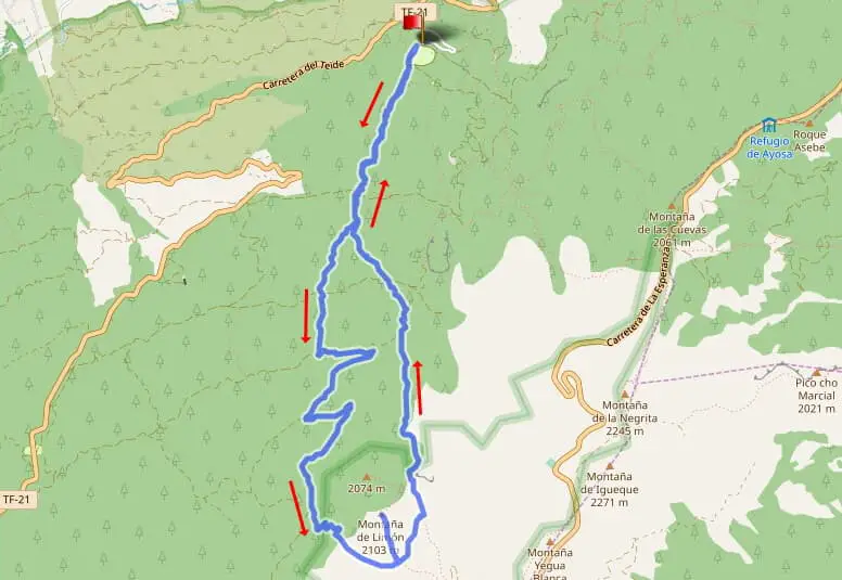

Tour 71: Montana de Limon
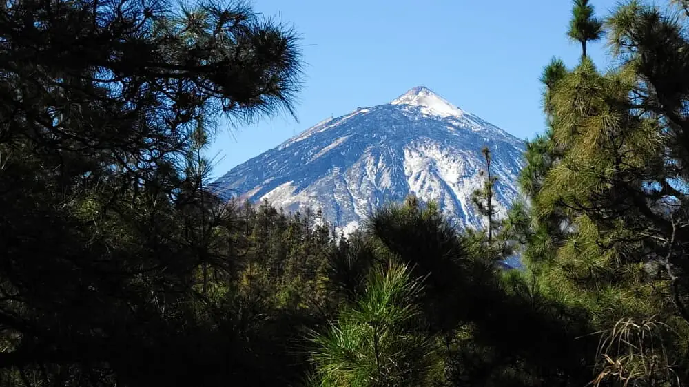
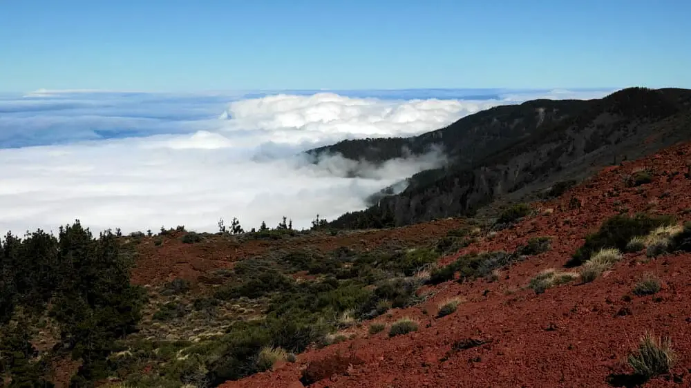
From the car park of the caldera in Aguamansa, the route climbs a steady 900 metres up to Montana Limon. The first part is still a bit uneven and rocky. Then the path splits and we go to the right. The way back coming from the left is not visible here, but more about that later. Even after the fork, the path remains the same. Nevertheless, the ascent is quick. We cross the Pista Arco de Chimoche and continue just opposite.
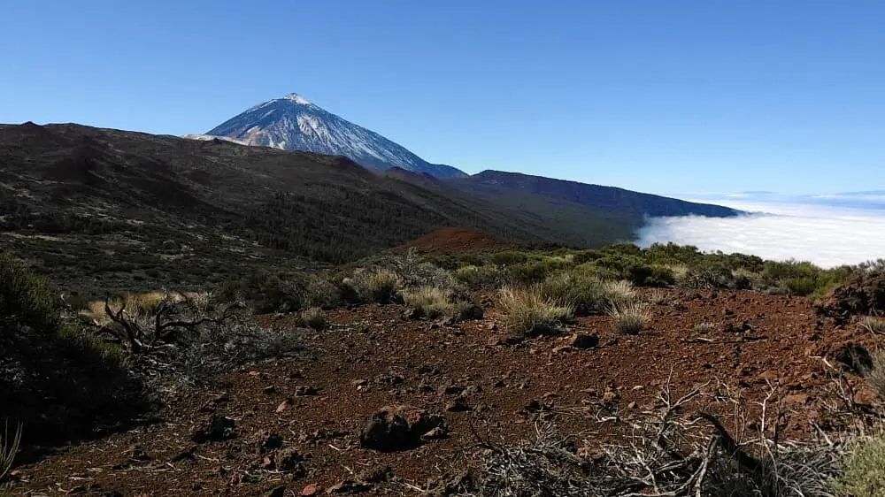
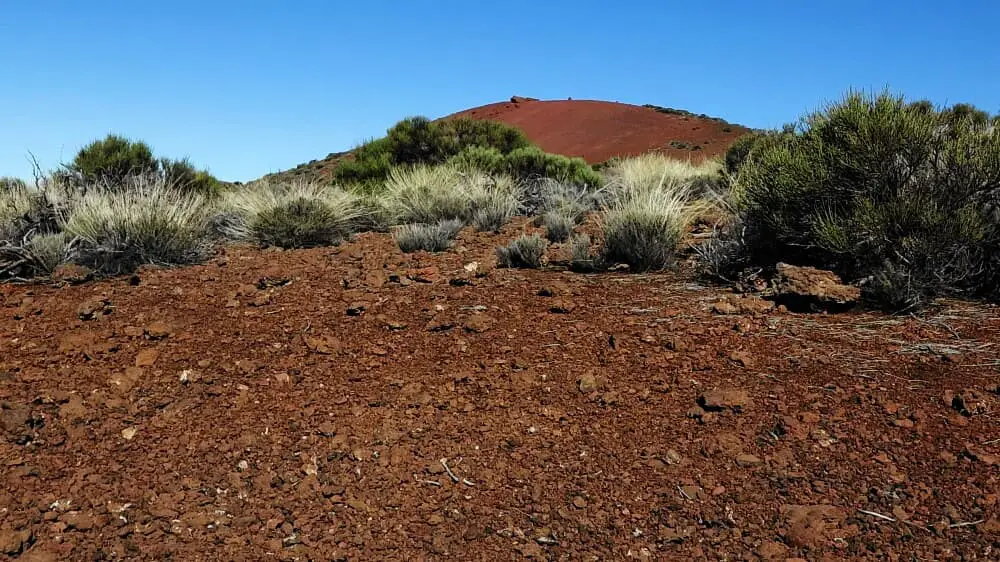
Gradually the ground becomes a little softer and not quite so steep. After 3 km we turn left onto the Pista de Pamon Caminero. This is a forest road with a much gentler gradient. 1 km further on, we leave the forest road and turn left onto the Pista de Montana Limon. After another 1.5 km, you come to a crossroads and take the steep path on the left. This leads up to a plain and after a total of 6 km, the short ascent path to the summit is on the left in front of us. The climb is worthwhile. At the top you can take a break and enjoy the views.
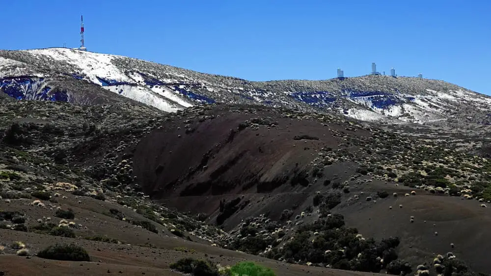
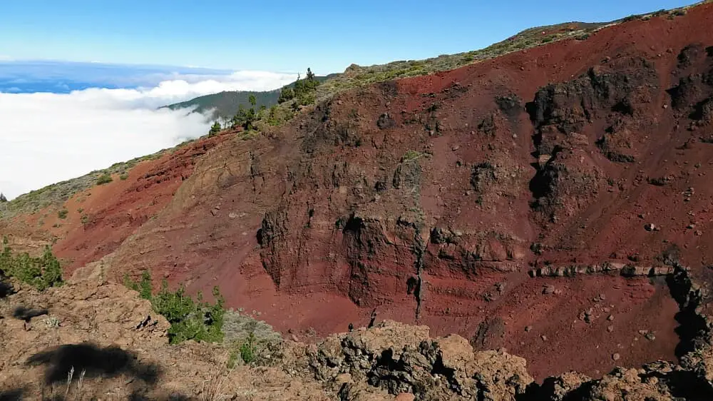
After the descent turn left. We do not continue the way before, but take a barely visible path on the plain. At the beginning you should pay attention to GPS and with time the path is better recognisable. Unfortunately, this changes again with increasing bush growth. So the GPS tracker remains our best friend. The descent becomes steeper and rocky again. Suddenly the path is clearly visible and we walk parallel to the Barranco de la Vera.
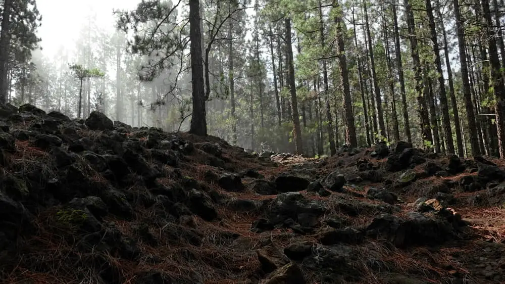
We are making good progress. But suddenly the path is no longer visible. It is quite steep on the soft forest floor. It doesn't help like this and we have to keep an eye on the GPS. Some passages follow where the ground is rocky and uneven again. The descent is not much fun. For a short time, a path is visible again and again, until we come across the ascent path. The descent is quite strenuous. Because of the somewhat unbalanced descent, I have classified the hike as difficult. If you want to avoid the problem, just go back down the ascent trail. Overall, I found the tour good and the views very good. The descent spoils the mood a bit, but it is easily doable and not dangerous. Only the orientation is a bit difficult.
A detailed description of the route and the GPS track can be found in the Hiking Guide Tenerife.
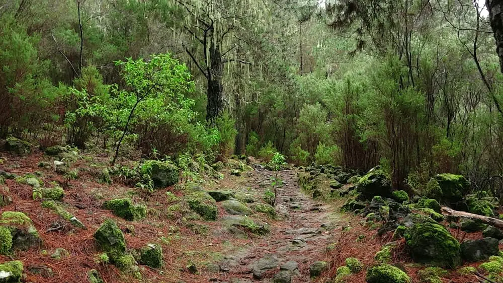
Photo Gallery