![]()
Difficulty: middle
Fitness: middle
Fear of heights: middle
Surefootedness: middle
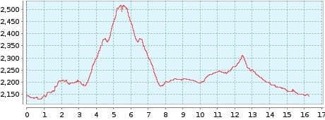
Distance: 16,26 km
Duration: 5:20 h
Heights: ![]()
![]() 575
575
Start/End:
Parador Nacional


Hike 45: Montana Pajsajiron/Canada Blanca
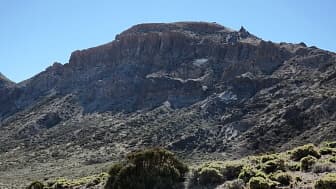
This hike takes us to the little sister of the Guajara, the Montana Pajsajiron, also called Morra del Rio in the maps. It is 11 km long and while we are there, we do another round in the Canada Blanca. We park the car at the Parador Nacional. Today is one of those days when the rain clouds hang low in the north and south, but in the National Park there is glorious sunshine all day.

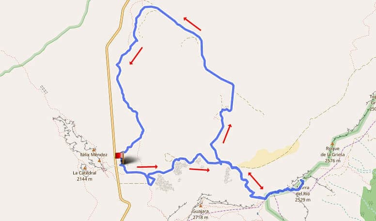
The tour leads along the main path of the Siete Canadas to the turnoff of the normal route on the Guajara. On the main trail we cut back a bit over a small slope (see GPS). The ascent to the ridge of the Guajara takes 30 minutes. Here we choose the ascent to Pajsajiron on the left. It is not difficult and after another 30 minutes we leave the hiking trail and go left to the summit plateau. The view of Teide, Guajara and towards El Portillo is fantastic.
The descent to the main path of the Siete Canadas again takes 1 hour. Now 7.7 km have been completed. If you hike back to the Parador from here, you will have completed an 11 km tour with 400 metres of altitude gain. We take the path on the right 500 metres in the direction of the Parador to the former sanatorium.
The round ahead of us in the Canada Blanca is 8.5 km long and has 200 metres of altitude. In the Canada there is largely volcanic rock. The path leads past the remains of the sanatorium until just before the valley station of the Teleferico. Here we keep to the left and it becomes clear why the Canada is called blanca = white. The high trail has light-coloured and gravel-like subsoil. The way back to the Parador is slightly sloping. So the total of 16 km is easy to manage.
A detailed description of the route and the GPS track can be found in the Hiking Guide Tenerife.

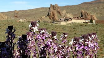
The tea varnish changes the colouring of its flowers from purple to white over time.
Photo Gallery


