


![]()
Difficulty: middle
Fitness: middle
Fear of heights: middle
Surefootedness: middle
Distance: 16,56 km
Duration: 6:15 h
Heights: ![]()
![]() 880
880
Start/End
Parkplatz Ortiz
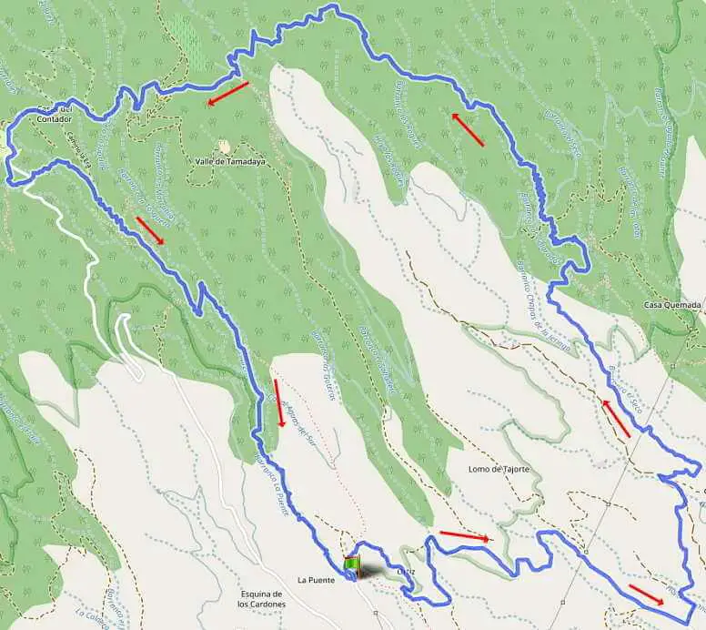

Hike 63: Barranco Ortiz
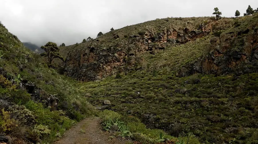
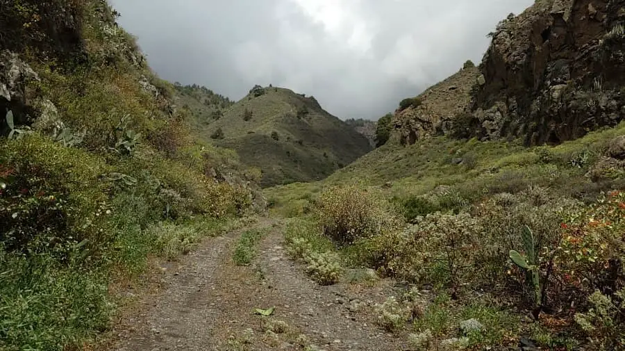
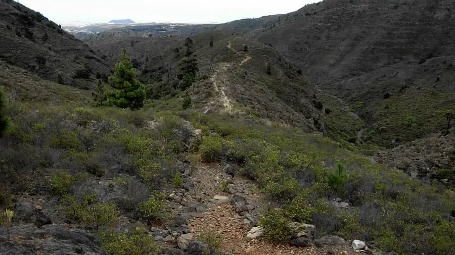
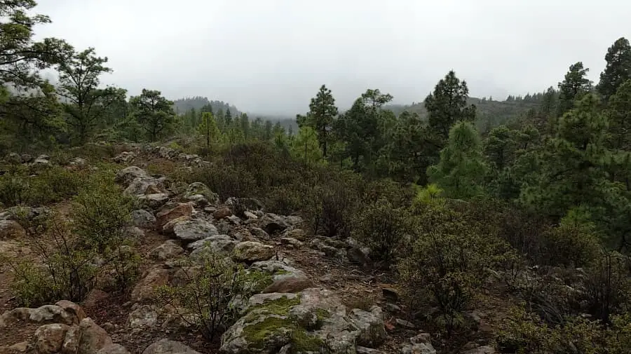
The hike leads above Villa de Arico into the rocky Barranco Ortiz. You can park directly at Barranco Ortiz. From here, the trail first leads to the right along various paths to the entrance to the hiking trail to the El Contador area. This crossing takes about 1.5 hours. The steady ascent to El Contador is a bit tough but not demanding. Unfortunately, we were a bit unlucky with the rainy weather, so the top views were missing. The area as a whole has the appearance of barrancos interspersed with Canary Island pines.

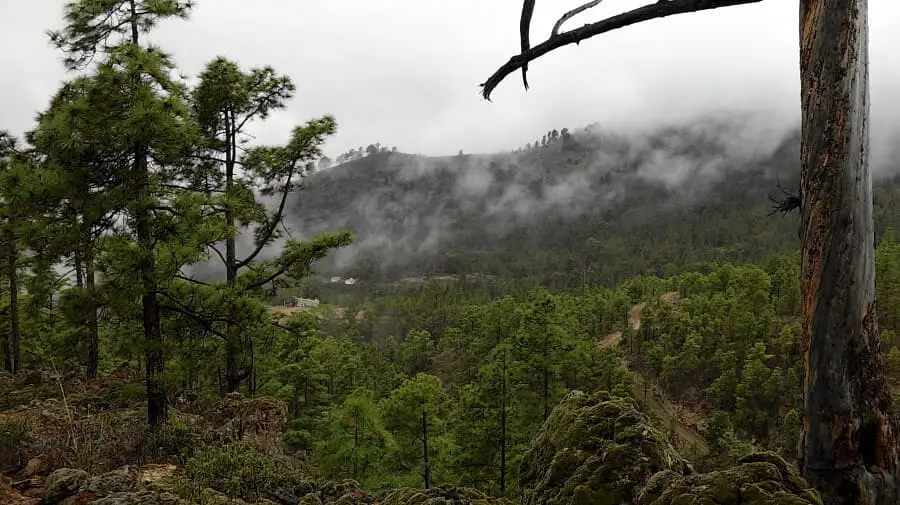
Once you reach the highest point, the high trail goes to the left until it reaches the Zona Recreativa El Contador. The path with a slight incline is pleasant to walk. From El Contador, the trail continues for 3.8 km to the starting point. The sloping path offers very beautiful views. At the end, we find ourselves in the rocky barranco, which is an Eldorado for climbers. These last 1.5 km are terrific, even if the long distance means that we are running a bit low on energy. Unfortunately, it was a bit slippery in places in the barranco due to the rain. The last section is also a bit more strenuous.
The tour is characterised by an even course. The ascents and descents are not so strenuous, as they are over a long stretch of trail. In good weather, the hike is also very visually appealing. If you only want to enjoy the barranco, you can park directly at the barranco and walk 1 km into the barranco and then turn back. That's exactly what I will do when the weather is good.
A detailed description of the route and the GPS track can be found in the Hiking Guide Tenerife.
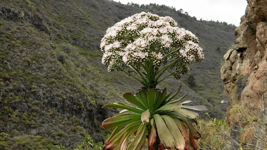
The picture below shows a thick-leaved plant of Tenerife, the city aeonium on a house roof.

Photo Gallery