


![]()
Difficulty: easy
Fitness: easy
Fear of heights: easy
Surefootedness: easy
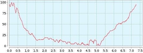
Distance: 7,27 km
Duration: 2:10 h
Heights: ![]()
![]() 123
123
Start/End:
Punta de Teno
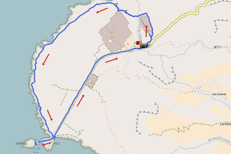

Tour 47: Punta de Teno
Access to the start of the hike has been closed. The hike is therefore not possible.
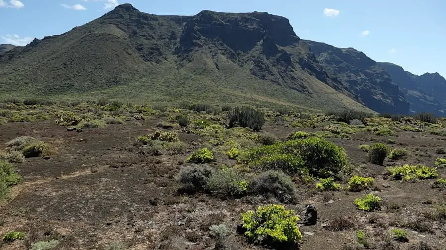
A very easy short hike along the Atlantic with a view of the foothills of the Teno Mountains to Faro de Teno. The approach is already a little adventure. 5 km after Buenavista del Norte on the TF-445, the road is covered with potholes. You have to be very clever to avoid the deep holes and oncoming traffic. And suddenly we drive through a 200-metre-long pitch-dark tunnel. Then the potholes continue and after kilometre marker 6, near the large greenhouses on the right, we look for a parking bay.
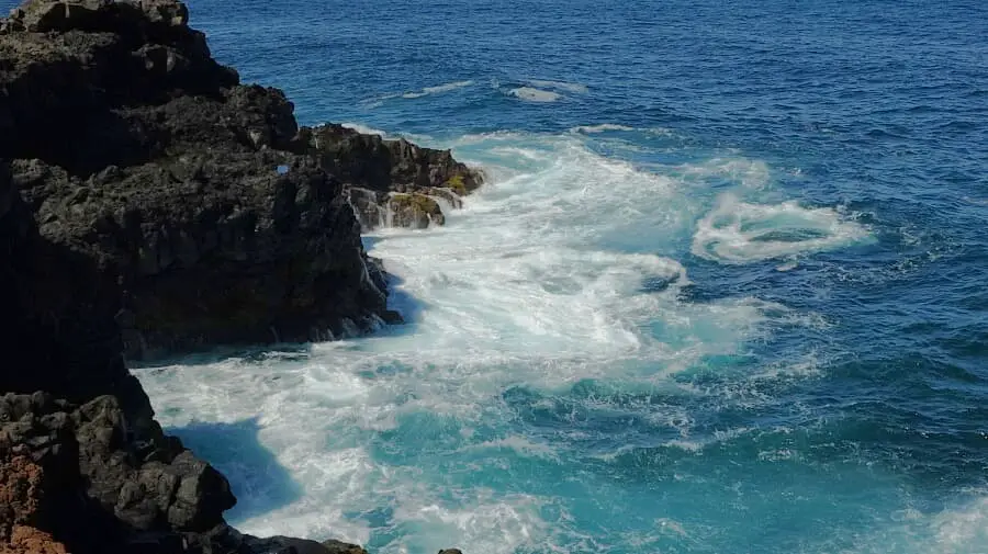
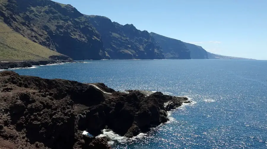
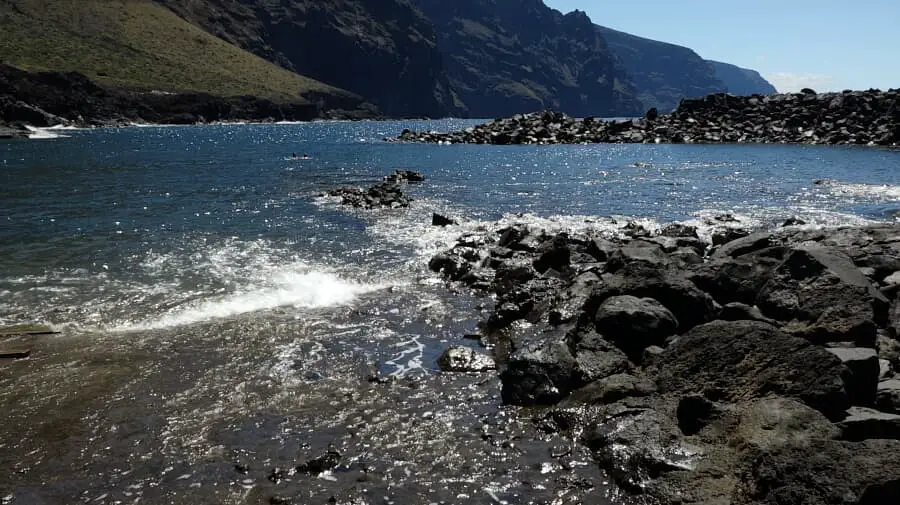
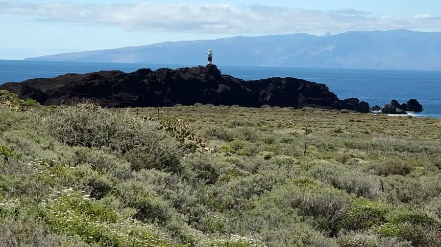
The path then goes past the greenhouses on the right to the wind turbines. Here we pass the 6 wind turbines in the immediate vicinity, which also happens rather rarely, and walk up to the cliff. We walk along the cliff on easy paths to the lighthouse. There are gigantic deep views of the cliff. We turn right to the lighthouse and back again. There is a nice beach on the right. A swim or at least a break is highly recommended. After a little refreshment, we walk 2 km up the road to the parked car and enjoy the potholes and the dark tunnel.
A detailed description of the route and the GPS track can be found in the Hiking Guide Tenerife.
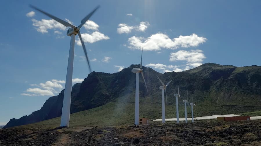
Photo Gallery