


![]()
Difficulty: middle
Fitness: easy
Fear of heights: middle
Surefootedness: high
Distance: 5,5 km
Duration: 3:00 h
Heights: ![]()
![]() 311
311
Start/End:
Cruz de Hilda

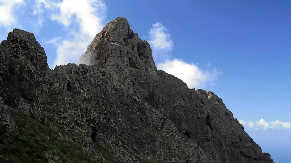
Hike 88: Roque Fortaleza
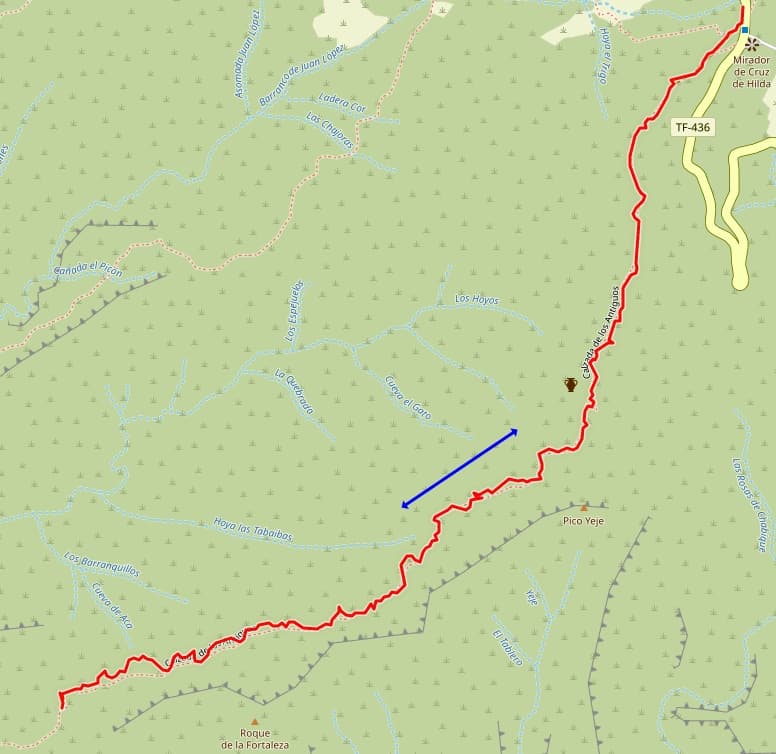
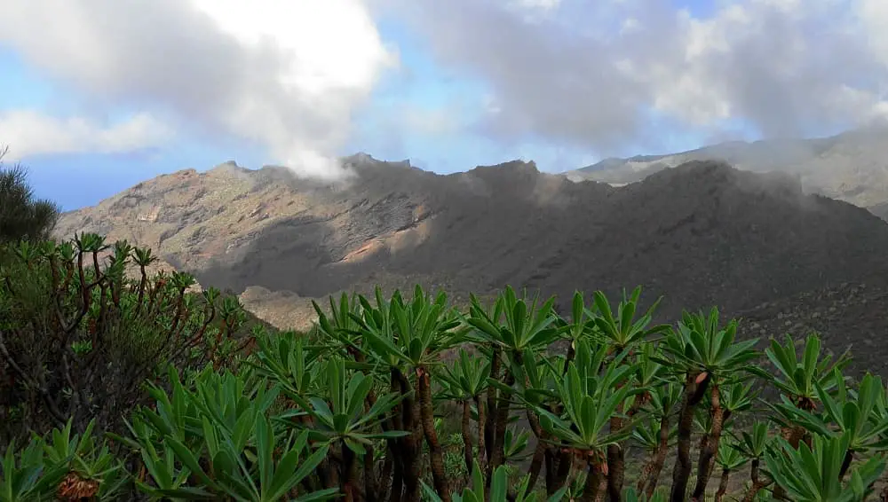
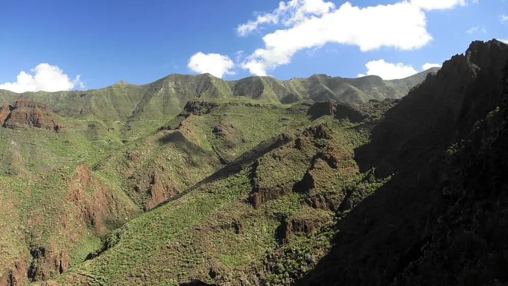
The hike begins at Cruz de Hilda initially on a wide forest path that changes to a rocky trail after 400 metres. The path becomes steeper and after 600 metres leads over a ridge. Even though there are no exposed parts, the edge of the cliff is relatively close.

On the way there, it is mostly downhill, but sometimes uphill. Generally speaking, the path on the ascent offers better footing. I
found the outward route somewhat more difficult than the return route. However, I left the path at one point on the way back. Because of
the footing, you can't always follow the GPS. But you should turn back immediately if you notice a mistake. On the other hand, I
corrected the path on the slope because the deviation was small.
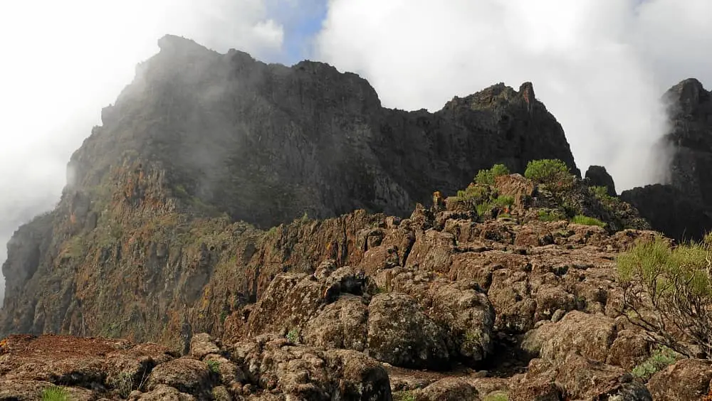
After 2,7 km you climb up again. I started the way back after 2,9 km because a climbing passage began there. Those who continue to
climb are rewarded with views of the east coast. However you should only continue climbing if you have alpine experience.
A detailed description of the route and the GPS track can be found in the Hiking Guide Tenerife.
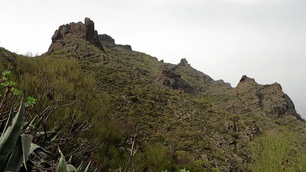
Photo Gallery