


![]()
Difficulty: middle
Fitness: middle
Fear of heights: high
Surefootedness: high
Distance: 13,21 km
Duration: 6:00 h
Heights: ![]()
![]() 812
812
Start/End:
car park Taganana
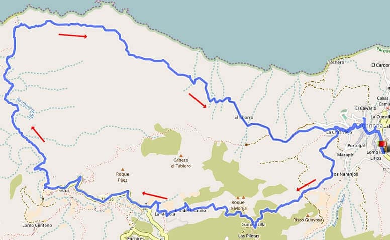

Hike 13: Panorama trail at Taganana
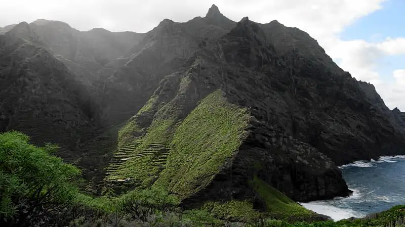
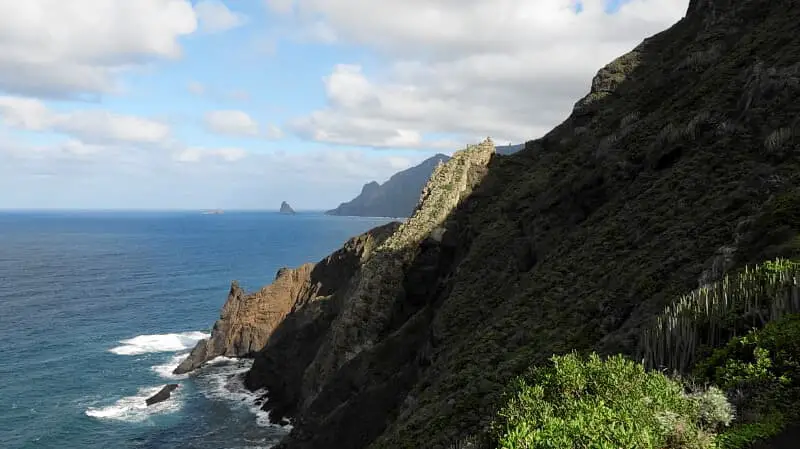
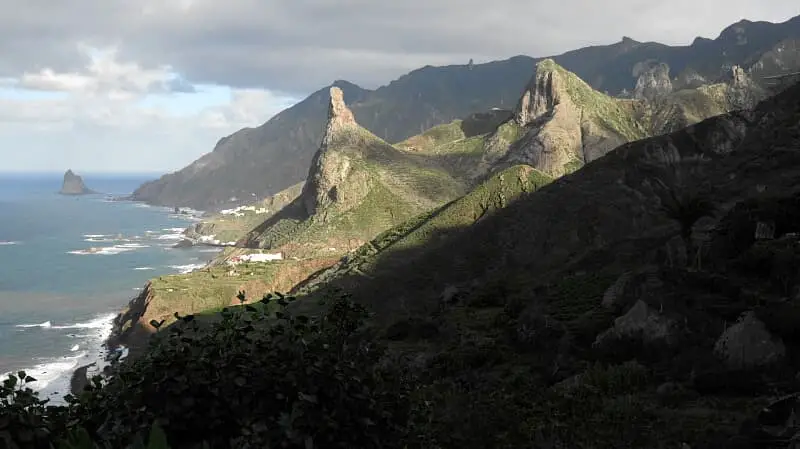
This hike is the same route as the Afur tour, except that it starts in Taganana instead of Afur. This has the advantage that the climb to Cumbrecilla is taken right at the beginning, when you are still fresh. From here, the easy descent to Afur offers magnificent views typical of the Anaga Mountains.

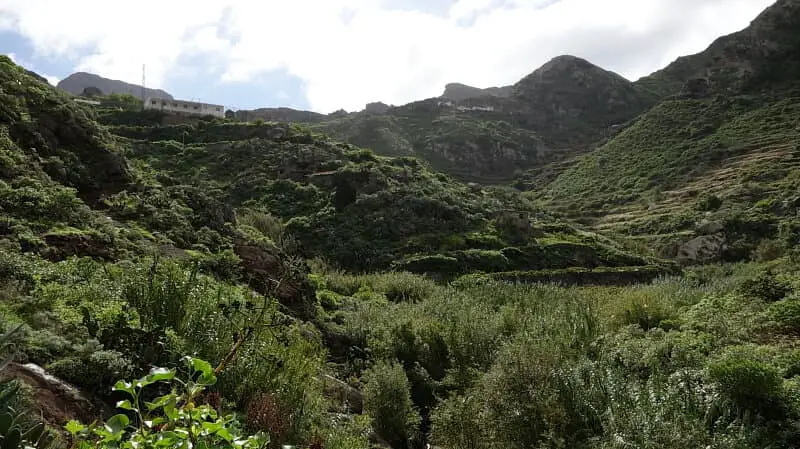
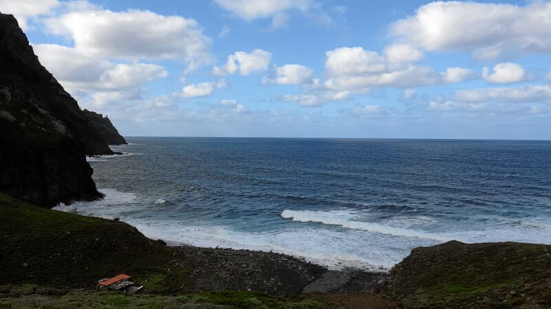
Further on you hike through the Barranco Afur o de Tamadite to the playa of the same name. The 220-metre descent requires some concentration and stamina. Due to the rainfall in the days before, you had to cross the barranco in two places where the water level was about 20 cm. Either you bravely walk over the larger stones or cross the barranco barefoot.
From the playa a magnificent panoramic path leads directly along the Atlantic back to Taganana. As you experience the fantastic views a little later in the day, you also have a greater chance of sunshine, which in the Anaga Mountains tends to be in the afternoon.
The tour offers a perfect mix of nature, adventure and romance. Some parts of the Barranco are slightly exposed but not really difficult. It is better to avoid the tour when it is raining. The ascent/descent in Taganana can be avoided by parking the car above Taganana.
A detailed description of the route and the GPS track can be found in the Hiking Guide Tenerife.
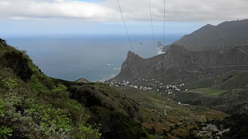
Photo Gallery