


![]()
dificultad: fácil
forma física: fácil
libre de vértigo: fácil
estabilidad: fácil
longitud: 8,83 km
duración: 2:30 h
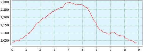
altura: ![]()
![]() 272
272
inicio: El Portillo
fin: El Portillo
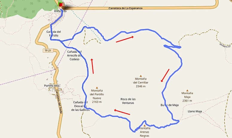
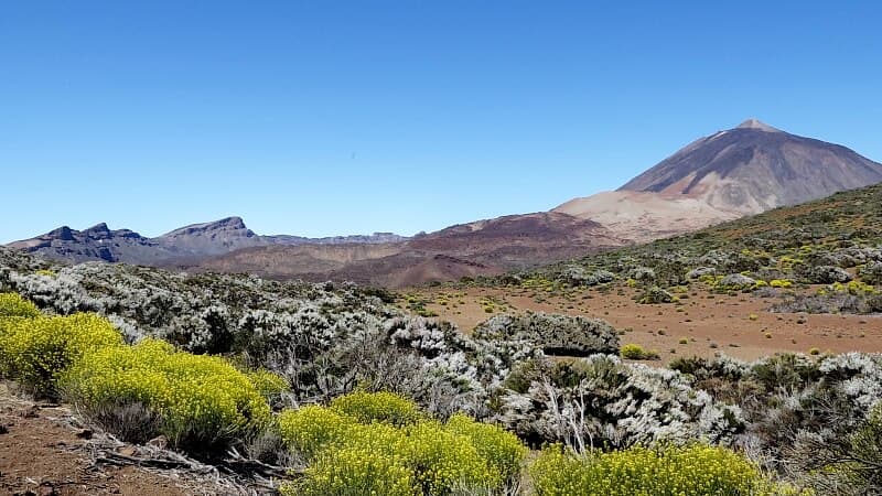
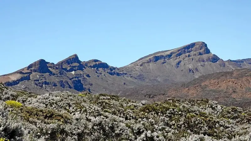
Caminata 1: Arenas Negras
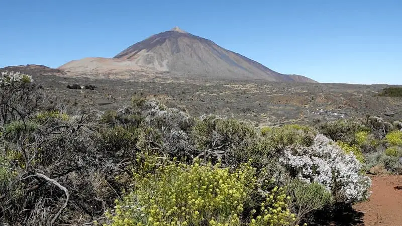
In addition to the Fortaleza tour, this easy round tour offers an introduction to the hiking world of the national park, to get used to the altitude of 2000 metres. In the process, you can see the Teide almost over the entire hike. In spring, the Teide broom blossoms here, which the growers' bees feast on.
On the drive towards the national park, you pass the cloud line at about 1800 metres above sea level. That's why the sun often shines here when it rains in the north of Tenerife. You definitely need sunscreen. It doesn't hurt to take a look at a webcam in the Canadas. At midday, trade wind clouds tend to gather and cover the Teide in bizarre formations. The short hike is easy to do, but due to its length and altitude it is no walk in the park.
Puede encontrar una descripción detallada de la ruta y el track para GPS en el Guía de Senderismo de Tenerife.
galería de fotos