


![]()
Difficulty: easy
Fitness: easy
Fear of heights: easy
Surefootedness: middle
Distance: 6,88 km
Duration: 2:10 h
Heights: ![]()
![]() 200
200
Start/End:
northern end of Adeje
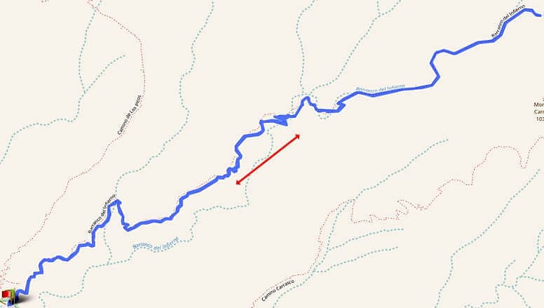

Hike 40: Barranco del Infierno
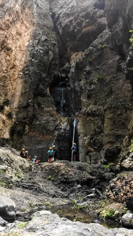
The Barranco del Infierno was closed for a long time. After it was opened in October 2015, another fatal accident occurred due to falling rocks, despite safety measures. After being closed again, it has been open again since 14.2.2016. After rainfall and in strong winds, the Barranco is closed immediately. The staff meticulously ensure that all safety measures are in place and do not allow more than 300 hikers into the gorge every day. Therefore, in the high season, advance booking is required via this site, to secure access at a specific time. You have to pay in advance via PayPal or credit card (9 € per person). You can also buy a ticket on the spot, but the rush is enormous despite the incidents in 2015.
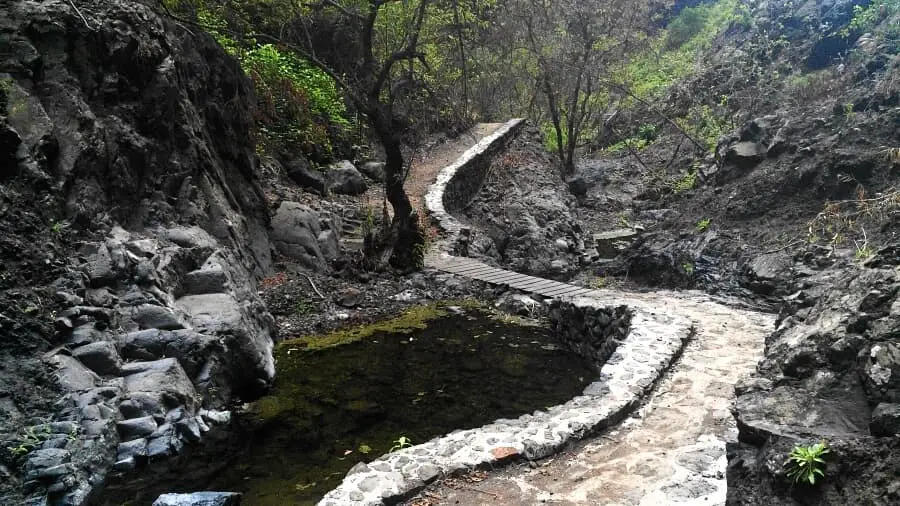
Before entering the barranco, you are instructed and have to sign a declaration. Then there is a helmet (compulsory) and you can experience this great barranco. The tour lasts a little over 2 hours and the path is easy.
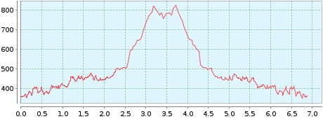
However, about 200 metres of altitude in the blazing sun is no walk in the park. The altitude in the graphic is not determined correctly. Unfortunately, we had a GPS failure in the Barranco. But you definitely don't need GPS here. You can't get lost in this barranco.
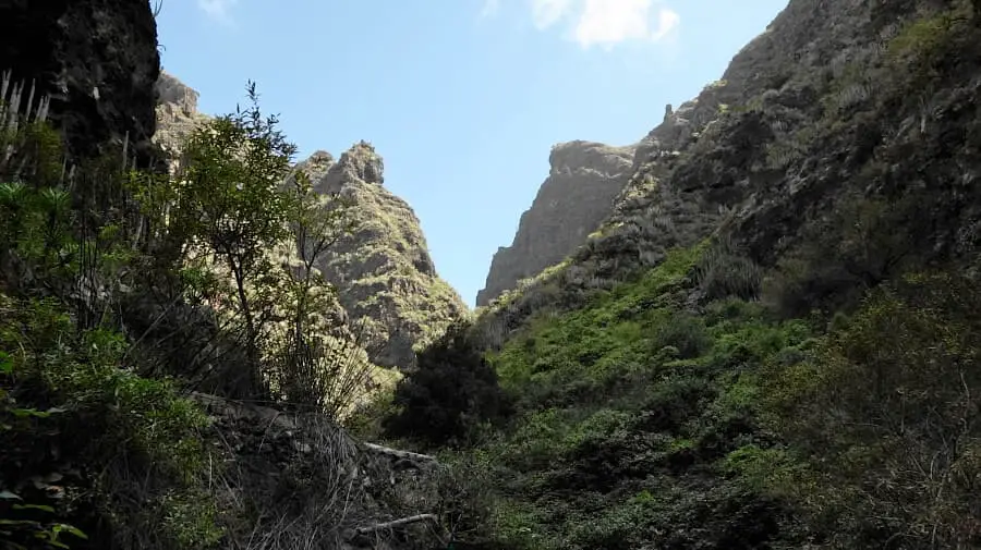
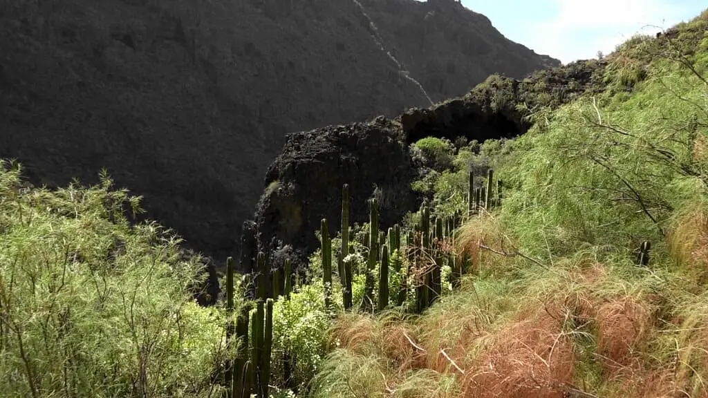
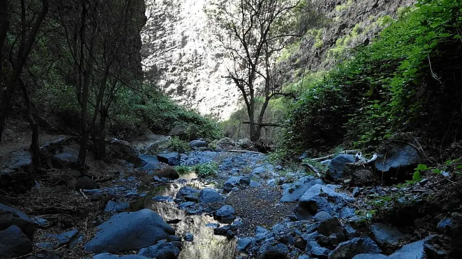
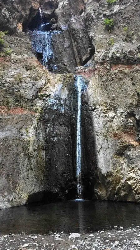
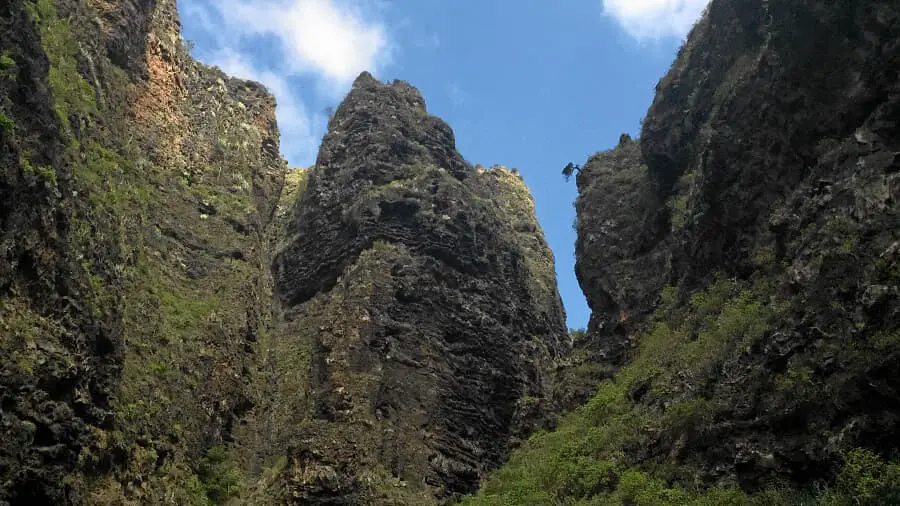
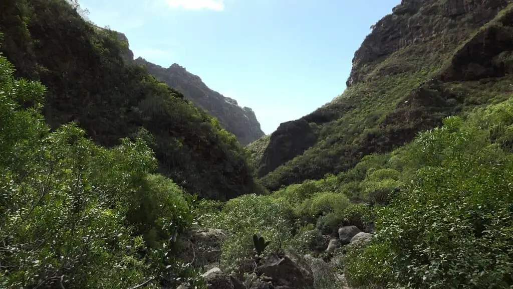
You should have sturdy shoes with you. In the second part of the gorge, the path goes through wild nature. This can also be heard in the loud chirping of birds with far-away echoes. The waterfall did not impress us too much, but the impressions along the way were really beautiful. Unfortunately, the mainstream tourism got on our nerves a bit. In many places, the chatter of some people was very disturbing. Compared to Masca or the Barranco Bermejo in Chamorga, I personally found the natural character of the path somewhat lacking. Such a fixed path is not exactly pure nature.
A detailed description of the route and the GPS track can be found in the Hiking Guide Tenerife.
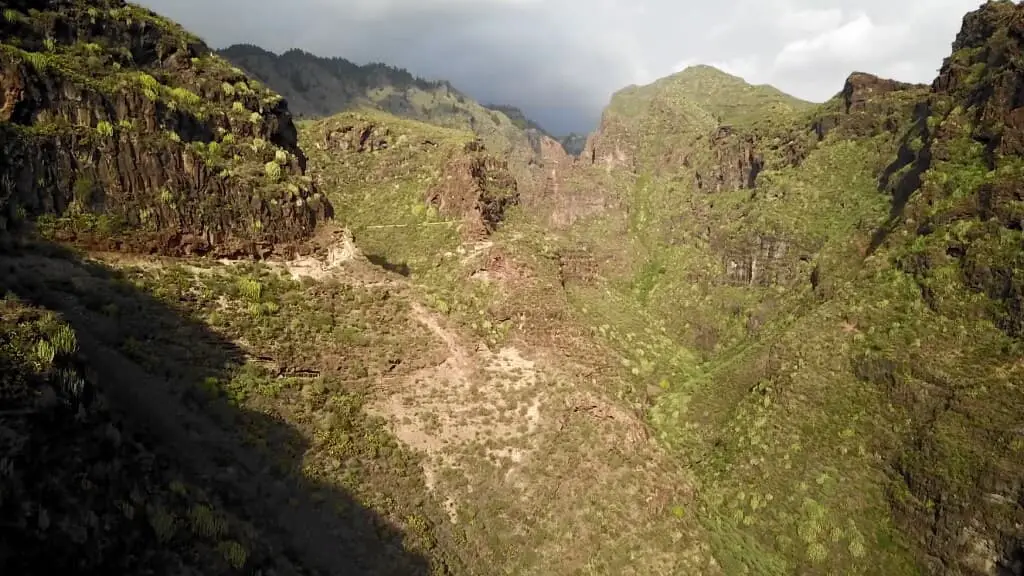
Photo Gallery