


![]()
Difficulty: easy
Fitness: easy
Fear of heights: easy
Surefootedness: middle
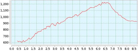
Distance: 8,33 km
Duration: 3:00 h
Heights: ![]() 645
645 ![]() 346
346
Start: Masca
End: Santiago Teide
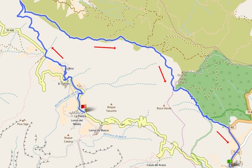

Hike 8: Masca/Santiago del Teide
The parking time in Masca has been reduced to 2 hours. Therefore the hike is now only possible from Masca to Santiago del Teide.
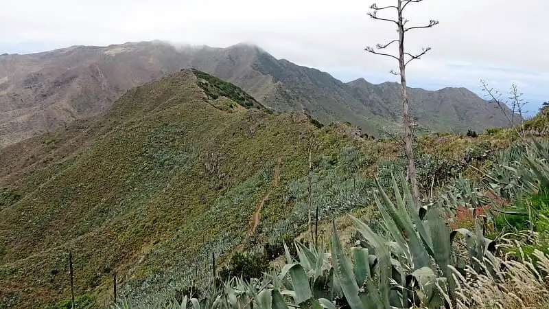
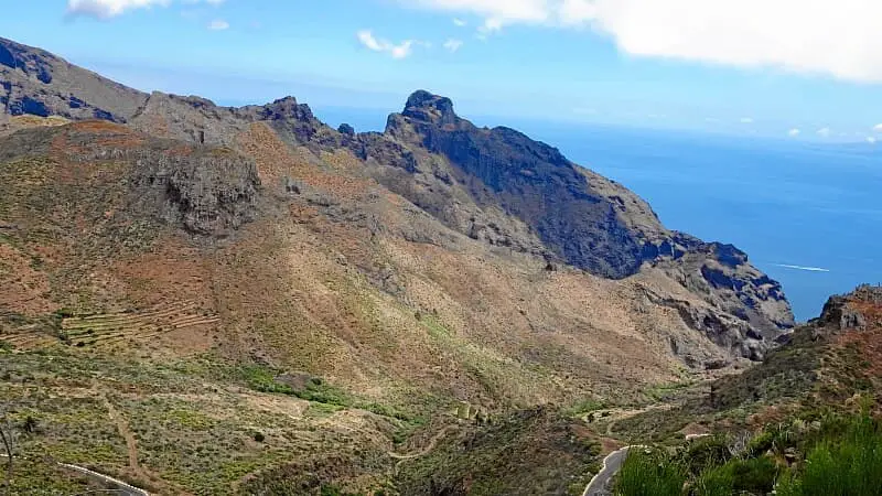
It doesn't always have to be the Masca Gorge. On this wonderful tour you can see Masca from above. First you park the car in Santiago del Teide and take bus 355 to Masca. From there, the route leads along the TF-436 and a path to Cruz de Hilda. From here you go up to the ridge of the Cumbre de Bolico, the weather divide between the humid north and the dry south.
The ascent is easy and reveals magnificent panoramic views. There is usually a strong wind on the ridge. The descent to Santiago del Teide is easy. The tour is fun and not too strenuous.
A detailed description of the route and the GPS track can be found in the Hiking Guide Tenerife.
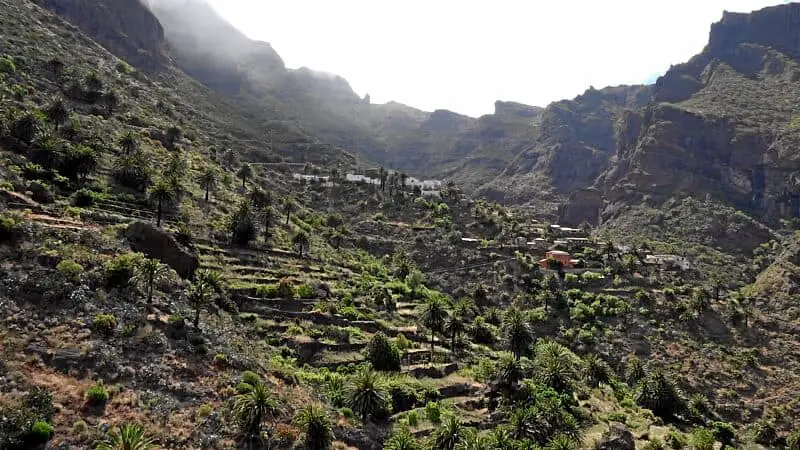
Photo Gallery
