


![]()
Difficult: easy
Fitness: easy
Fear of heights: easy
Surefootedness: easy
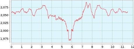
Distance: 11,51 km
Duration: 3:20 h
Heights: ![]()
![]() 239
239
Start/End:
El Portillo
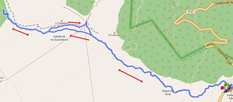

Hike 10: Fortaleza
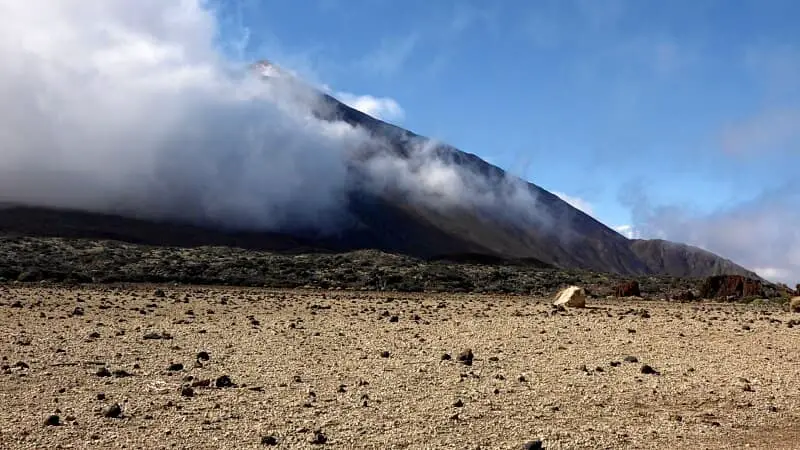
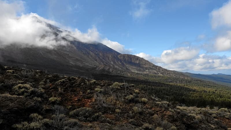
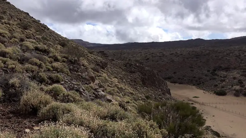
The hike to Fortaleza (the rock fortress) is a good introduction to the Canadas of the National Park, along with the Arenas Negras (Tour 1), and surprised us very positively. The trail starts at El Portillo and leads up and down to the rock fortress. The north side # of the Teide is always in view. Around noon, trade wind clouds often gather and cover the Teide.
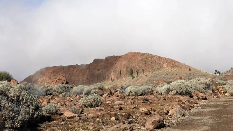
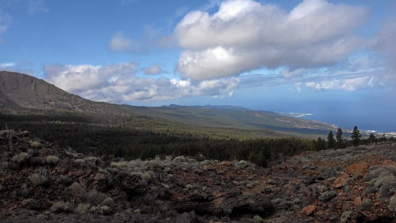
The path ends at the western edge of the Fortaleza, where you have an impressive view of the northwest of Tenerife. In the maps, there is an ascent option to the fortress here combined with a climbing section. According to official information, the ascent is forbidden and is punishable by a fine if committed.
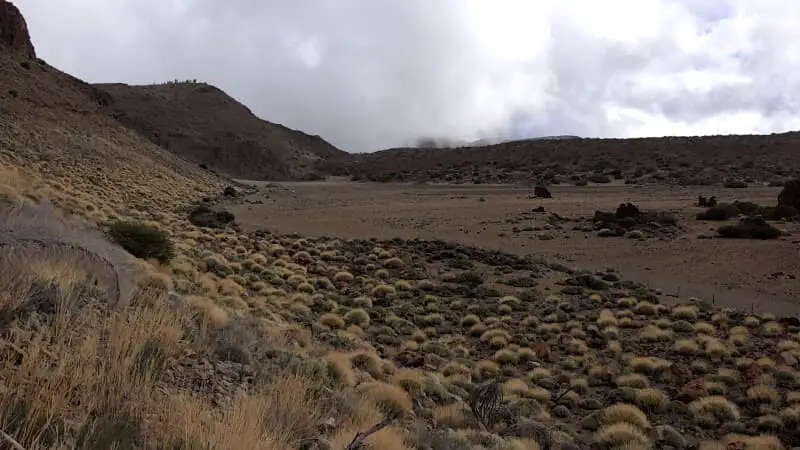
At this point you should turn around and start the way back. The small gate after 500 metres on the left in the lower part of the rock is currently closed. We were still able to climb up to Cruz de Fregel in 2014.
A detailed description of the route and the GPS track can be found in the Hiking Guide Tenerife.
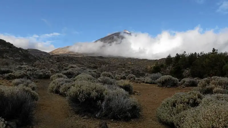
Photo Gallery