


![]()
Difficulty: middle
Fitness: middle
Fear of heights: middle
Surefootedness: middle
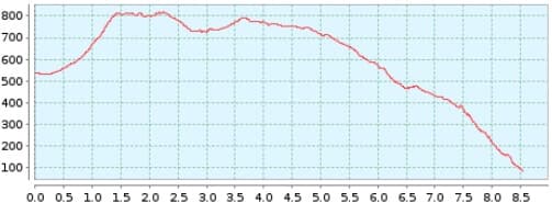
Distance: 8,55 km
Duration: 3:30 h
Heights: ![]() 354
354 ![]() 807
807
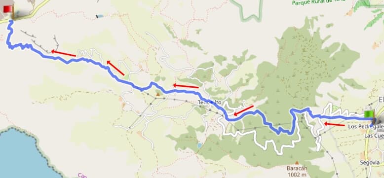
Start: El Palmar
End: Teno Bajo

Hike 82: El Palmar/Punta Teno
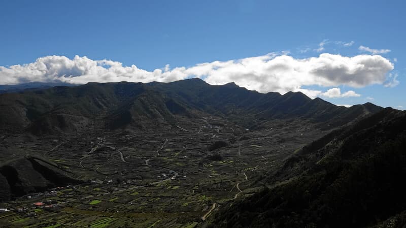
Park the car in El Palmar at the TF-436/junction to Teno Alto. We take the hiking trail that runs parallel to the road, first in a moderate then somewhat steeper ascent up the ridge. At the top, we pass the road and continue along the path. There is a slight descent before we cross the road shortly before Teno Alto and walk the last part on the road.
Past the church and bar, we first descend on a road before changing to a hiking trail. In the upper part, the path is quite easy. The paths are wide and flat. On the way we pass small farmsteads and huts.
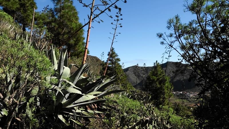
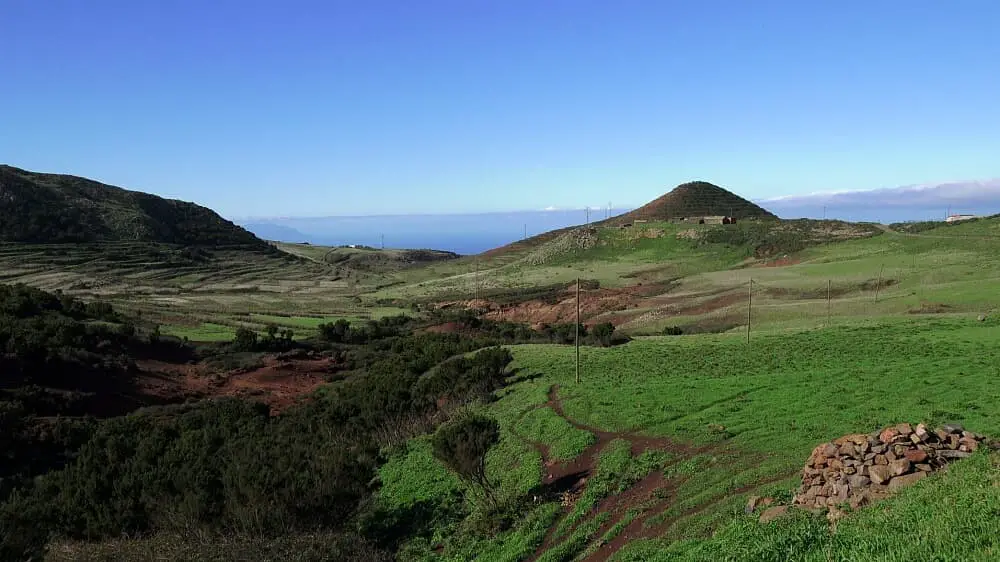
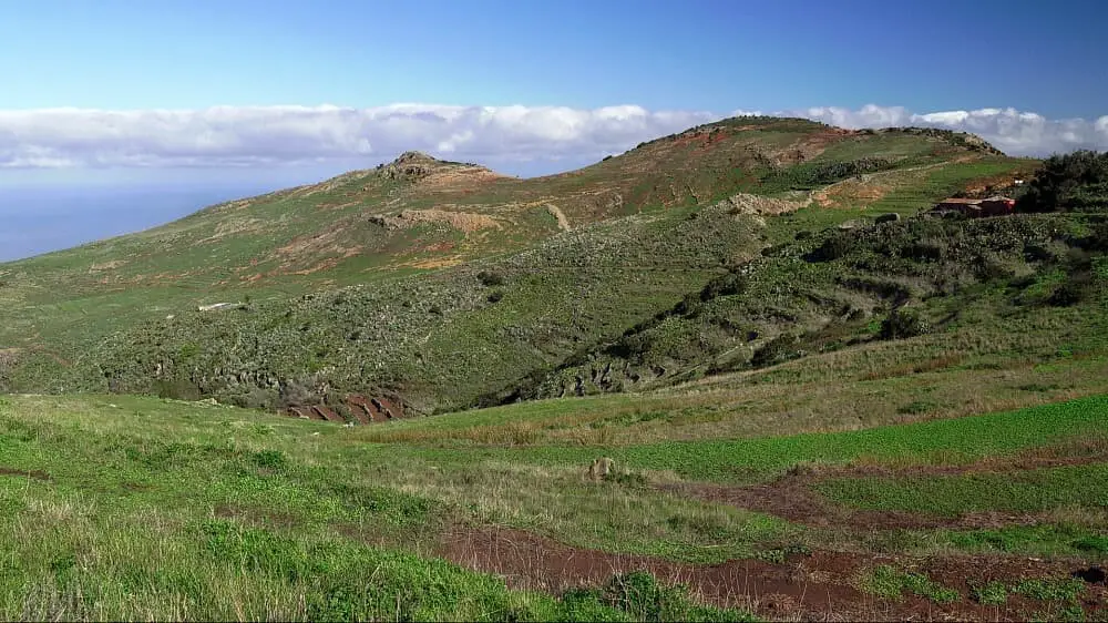
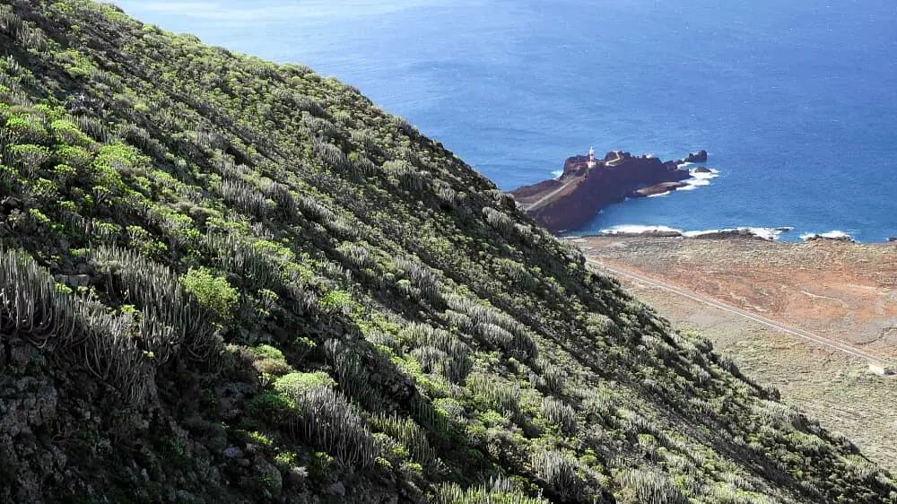
The path turns into a somewhat steeper barranco. There are no exposed sections, but the path is somewhat uneven and rocky, as is typical of barrancos. At the bottom, you can still walk to Faro de Teno (bathing opportunity).
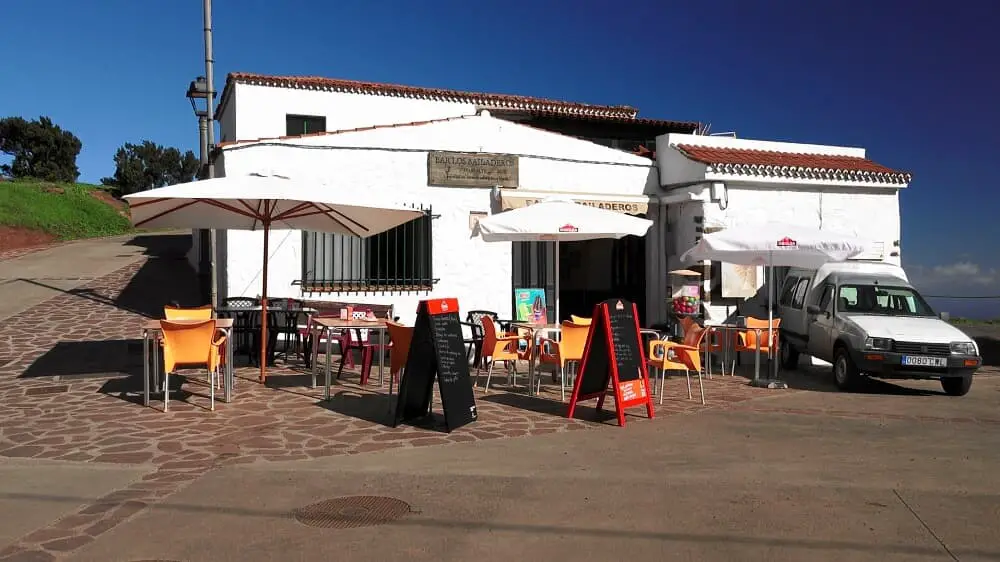
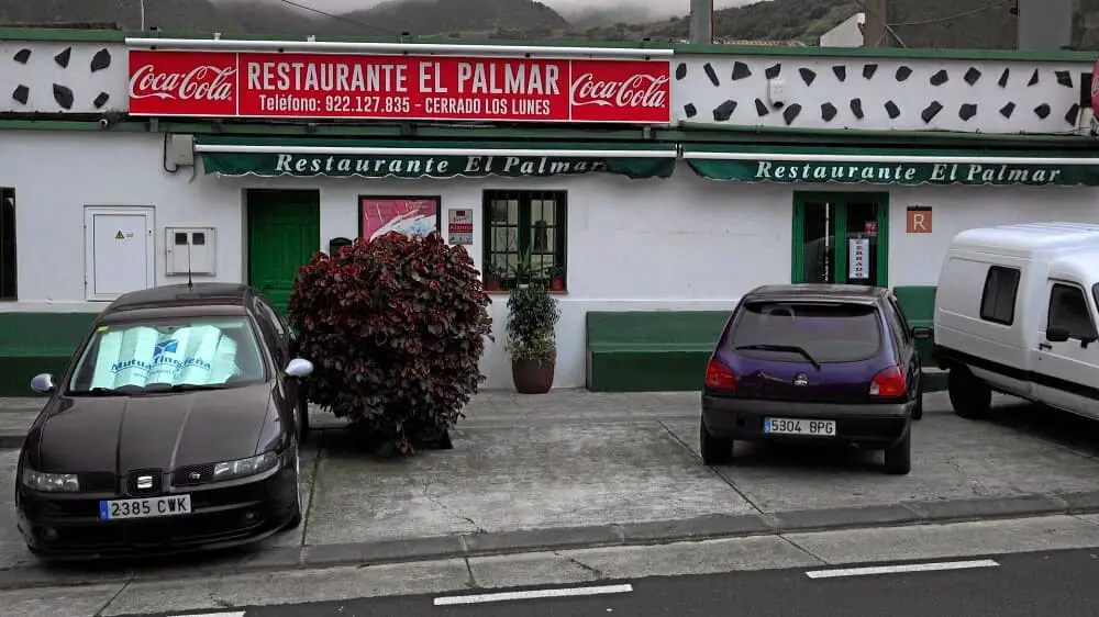
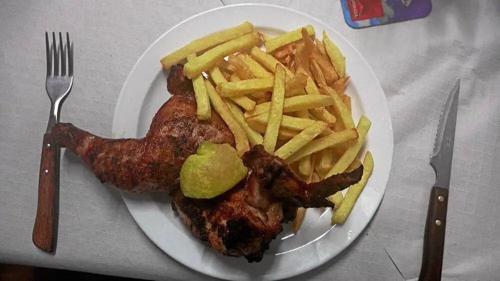
The return journey is by bus 369 to Buenavista del Norte and from the bus station by bus 366 towards Las Portelas to El Palmar. In El Palmar there is an excellent stop at Restaurante El Palmar Tue-Sun from 12:00 to 18:00, where the meat is grilled on a charcoal oven.
A detailed description of the route and the GPS track can be found in the Hiking Guide Tenerife.
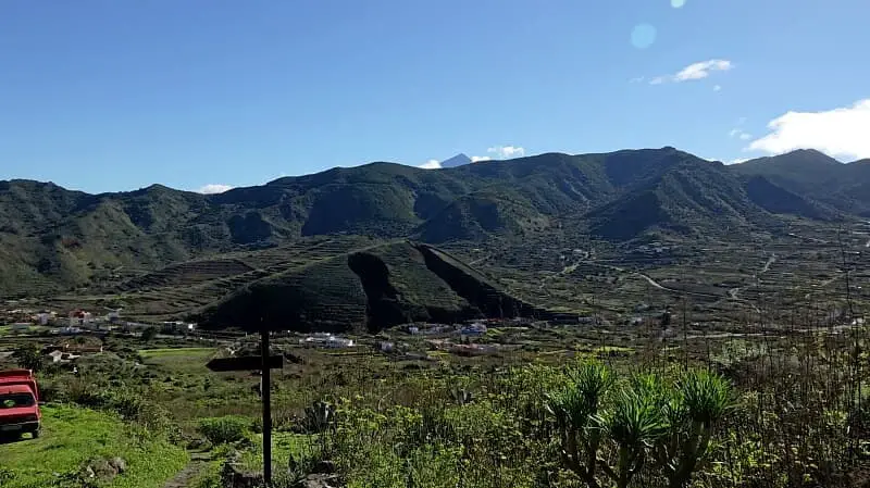
Photo Gallery