


![]()
Difficulty: easy
Fitness: easy
Fear of heights: easy
Surefootedness: middle
Distance: 6,43 km
Duration: 2:10 h
Heights: ![]()
![]() 186
186
Start/End:
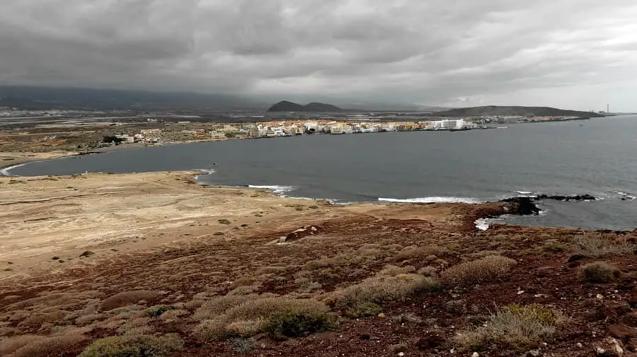
El Médano

Hike 53: Montana Roja
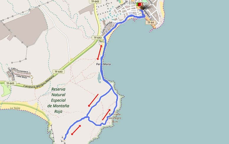
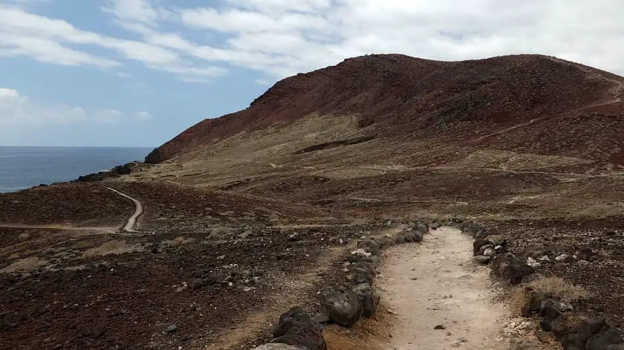
The easy hike takes us from the centre of El Médano to Montana Roja. We park in a side street at the end of El Médano. The path leads through the pedestrian zone past the beach to the kite and surf schools. We continue along the beach until the path forks and then walk up to the right to Montana Roja. Overall, the hike is easy, but the ascent is by no means a walk. Especially on the way back it can get slippery. Hiking shoes are therefore recommended.
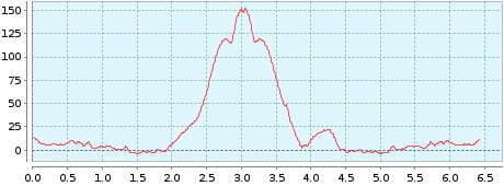
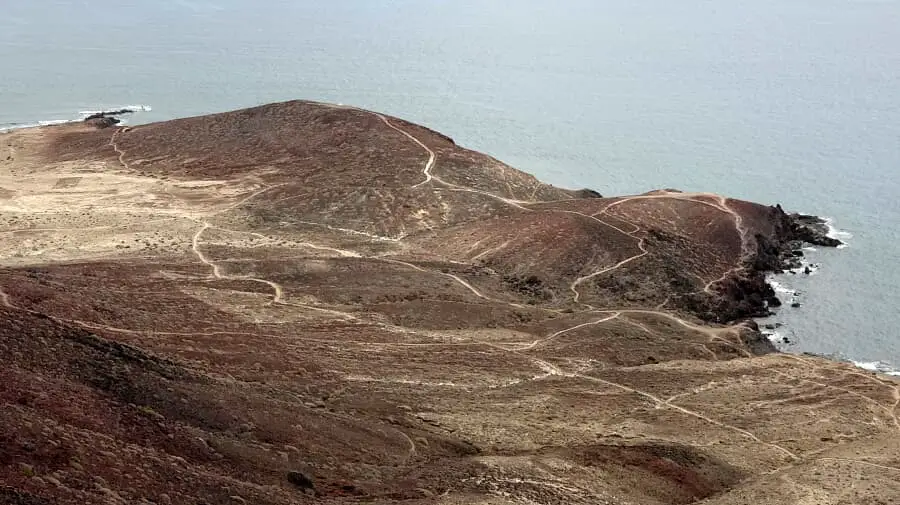
At the summit the views are unique and therefore you should take a break up here. The descent takes us first down the slope on the same path until we take the path to the right to Montana Bocinegro. It leads directly to the coast. The climb up the 36-metre-high hill is then more of a walk. There are cairns along the coastline and here you can enjoy the sound of the surf.
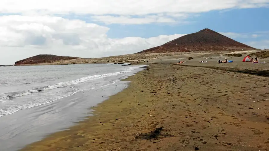
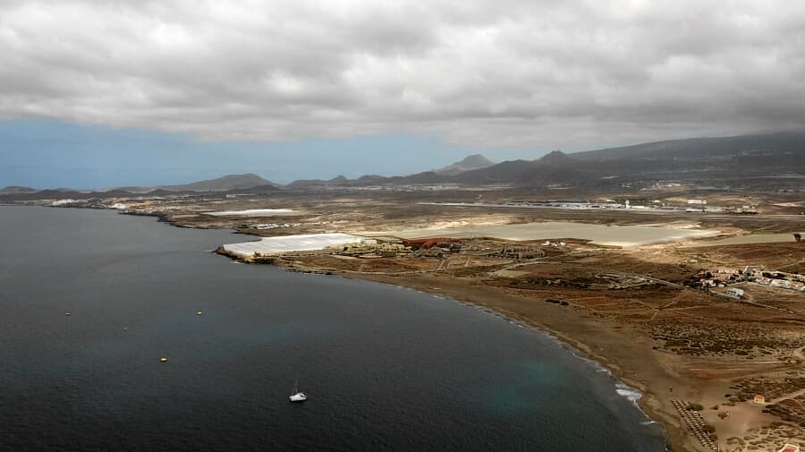
Not far from the ascent path to Montana Roja is the path to La Tejita beach (on the left of the map). This beach is not as crowded as the main beach of El Médano.
A detailed description of the route and the GPS track can be found in the Hiking Guide Tenerife.
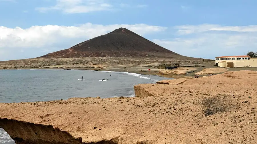
Photo Gallery
Tenerife is only dune area forms a nature reserve together with Montana Roja.