


![]()
Difficulty: middle
Fitness: middle
Fear of heights: middle
Surefootedness: middle
Distance: 9,61 km
Duration: 4:00 h
Heights: ![]()
![]() 715
715
Start/End:
centre Araya
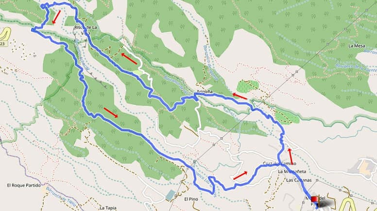

Hike 33: Risco de la Vera
A hike on the east coast is rather the exception for Tenerife. So we didn't meet a soul here either. First, a drive from the north via the TF-1 to Araya has to be tackled. One makes very rapid progress. Every journey to the Canadas takes much longer. In Araya we park the car in the centre of town and immediately have to take a steep climb up the main street of the town. By the way, you can also park at the top and save 100 metres in altitude.
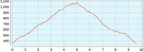
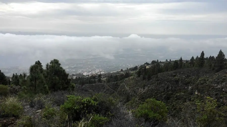
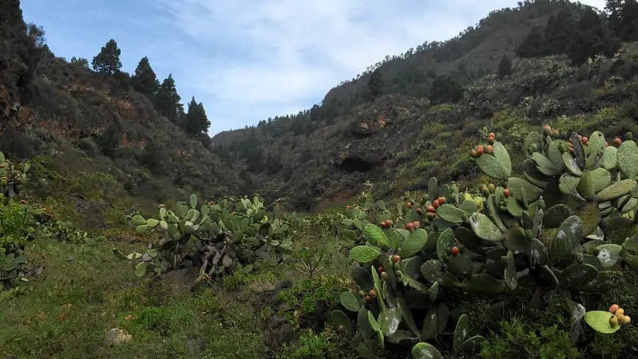
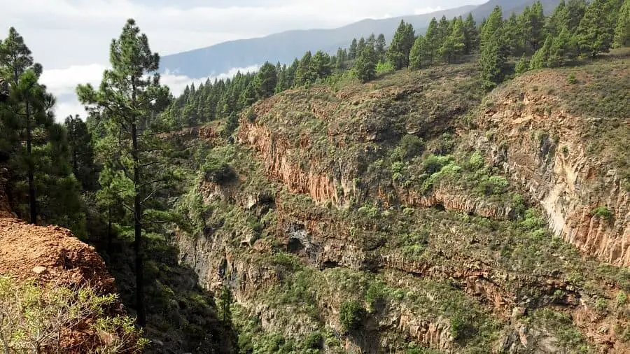
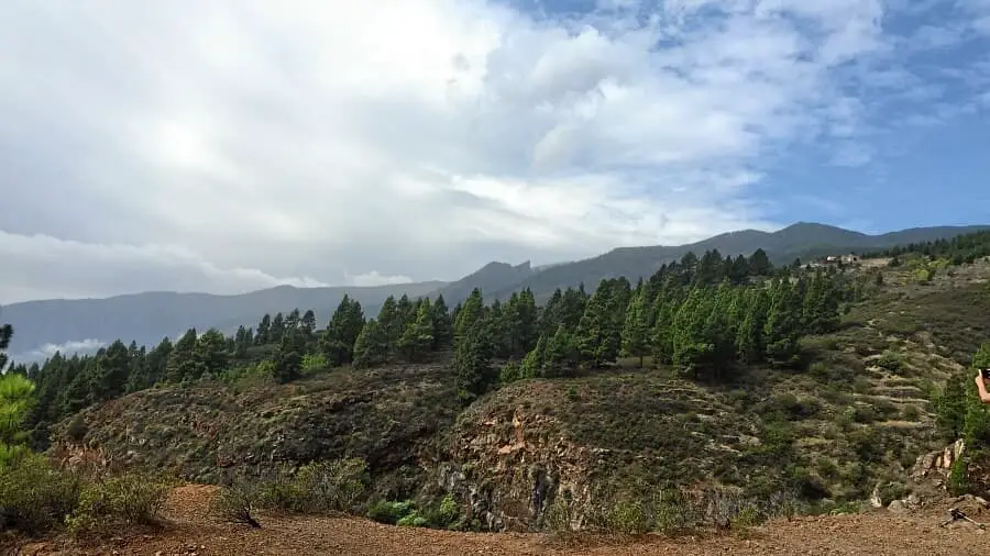
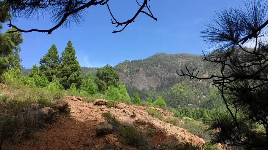
We start the round tour from the right and climb 600 metres in altitude. This takes some energy, but the views make up for the effort. With increasing altitude, we see the huge Barranco Achacay in front of us. At the foot of the Cumbre Dorsal, mighty rocks with pine forests tower above them.
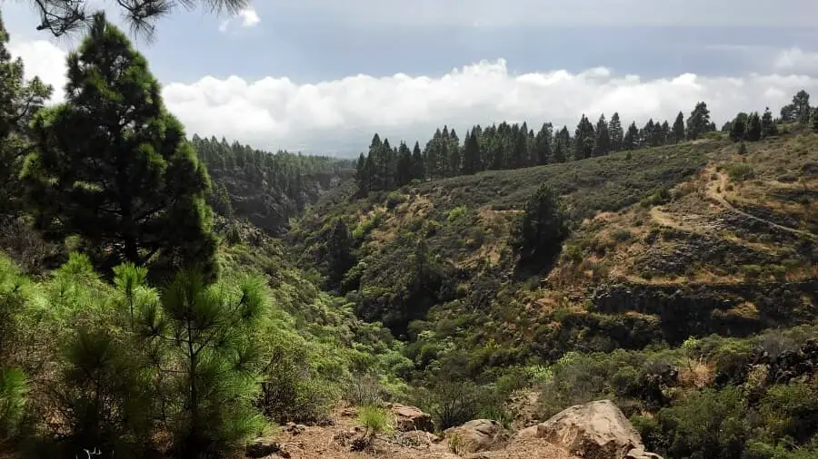
Having just reached the top, after a short bend, the trail descends the 600 metres in altitude. This is really hard on the joints, especially as the path is quite uneven. We cross the Barranco in the last quarter of the tour and finally reach Araya again. Now we take the steep main road downhill. But we could have parked at the top. Well, maybe next time.
A detailed description of the route and the GPS track can be found in the Hiking Guide Tenerife.

Photo Gallery