


![]()
Difficulty: middle
Fitness: middle
Fear of heights: middle
Surefootedness: middle
Distance: 14,9 km
Duration: 4:20 h
Heights: ![]()
![]() 585
585
Start/End:
Las Portelas
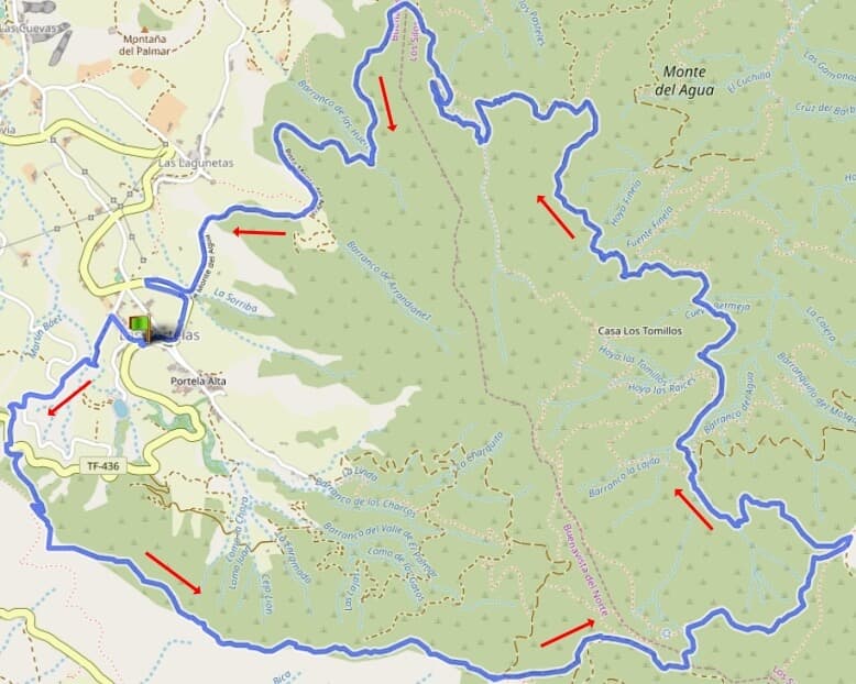

Hike 79: Monte del Agua
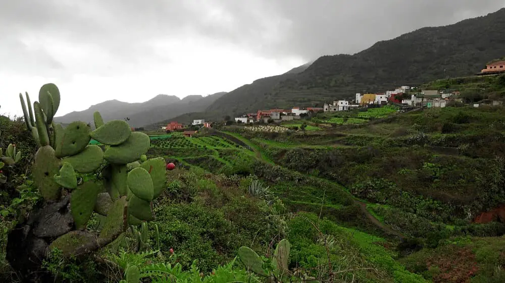
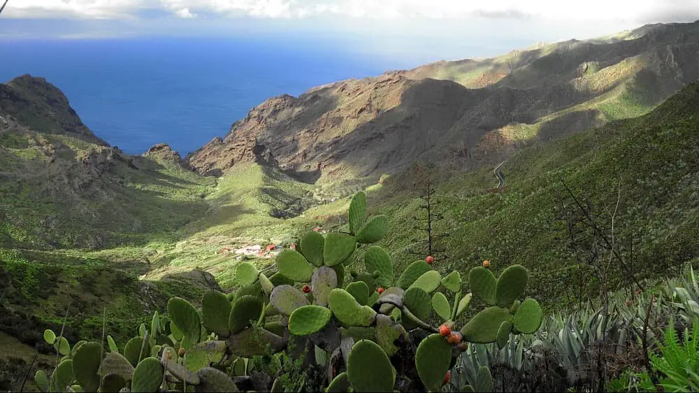
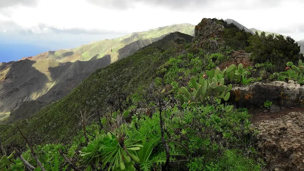
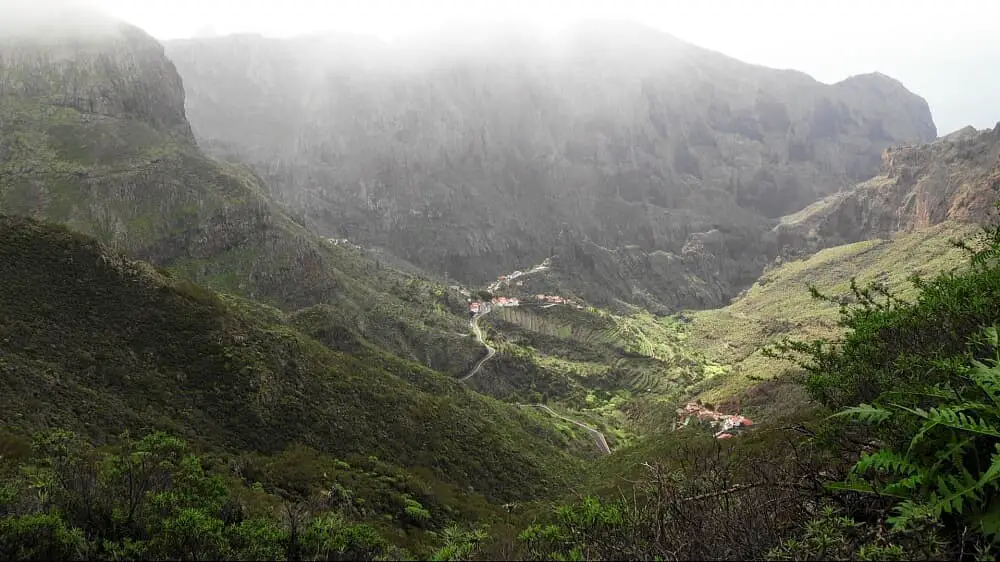
The first part of the hike offers magnificent views all the way to the coast. Then it goes through cloud forest in the Monte del Agua area. We park the car in Las Portelas on the TF-436 near the Meson del Norte restaurant. From here we climb up to Cumbre de Bolico. On the weather divide between north and south, strong winds often blow. We climb up to an altitude of 1300 metres. The views reach as far as the coast and the mountain village of Masca.

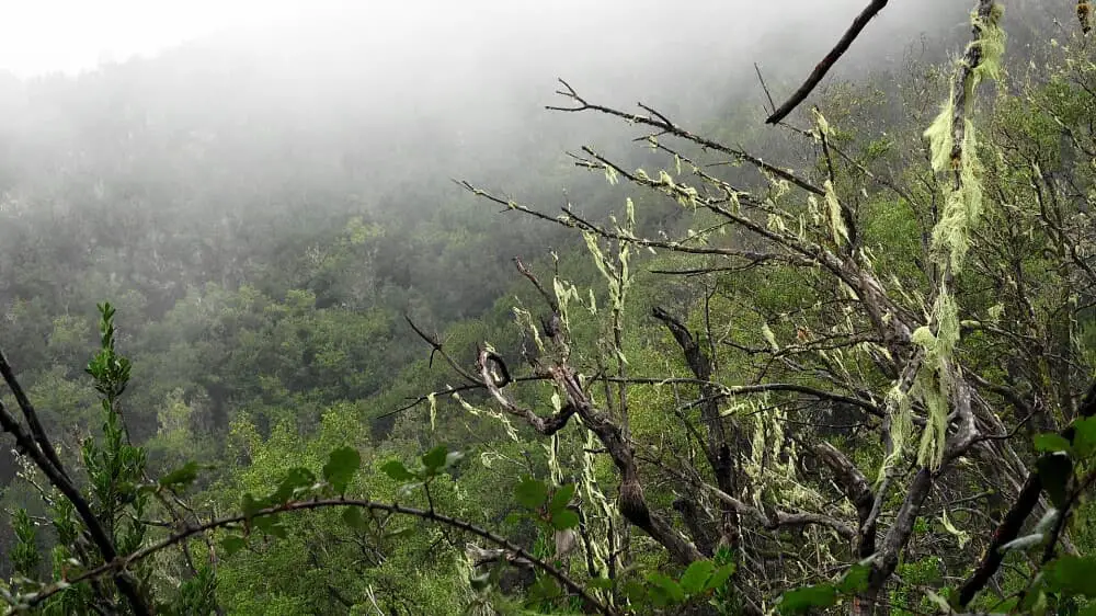
After just under half of the route, we leave Cumbre de Bolico and descend through beautiful cloud forest to the area of Monte del Agua. This is not a peak, but the entire area bears this name. The cloud forest is unique and otherwise only found in Anaga in this variety. After a short descent on a narrow hiking trail, we meet the Pista Monte del Agua. This wide hiking trail leads us back to Las Portelas.
A detailed description of the route and the GPS track can be found in the Hiking Guide Tenerife.
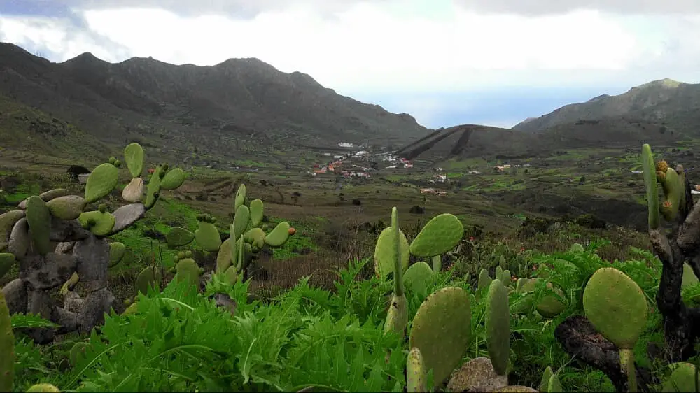
Photo Gallery