


![]()
Difficulty: high
Fitness: high
Fear of heights: middle
Surefootedness: high
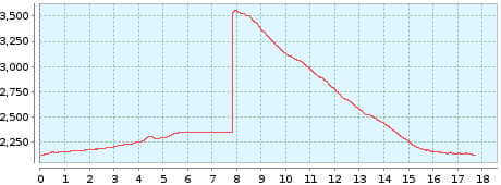
Distance: 15,58 km
Duration: 5:25 h
Heights: ![]() 316
316 ![]() 1448
1448
Start/End:
Parador Nacional
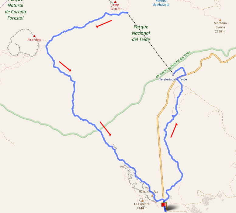

Hike 65: Canada Blanca - Teide - Viejo - Roques
This great circular hike offers many highlights. We hike in the Canadas, on the Teide, the Pico Viejo and at the Roques de Garcia. The tour is quite difficult, however, as over 1400 metres of descent have to be done in one go. It also includes the ascent of the Teide with the Teleferico. And that can be a problem. Namely, if the cable car is closed due to storms or bad weather, or if the crowds are very high after a closure. You should avoid weekends and public holidays, because then the staff are overworked and long waiting times are normal. If you can't avoid such a day, buy tickets on the spot or online for a specific time. The right time is 2 hours after the tour starts at the Parador.
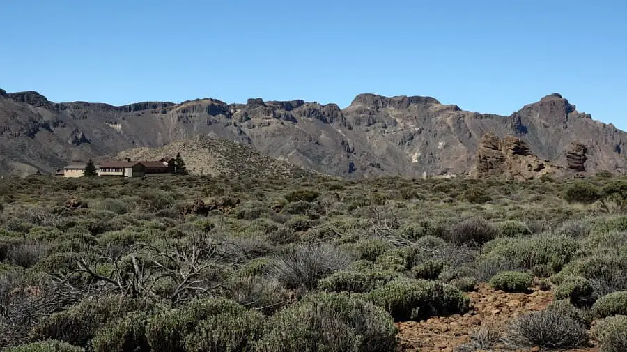
Photo Gallery
We park the car at the Parador Nacional and walk in the Canada Blanca to the valley station of the Teleferico. This trail, just under 6 km long, has a gentle ascent and you can enjoy the Canadas in the morning sun. Theoretically, you could also move this section to the end and park at the Teleferico. But after the long descent, you definitely don't want to walk 6 km more. After crossing Canada Blanca, we take the Teleferico up to Pico del Teide. A thick jacket and a cap are recommended.
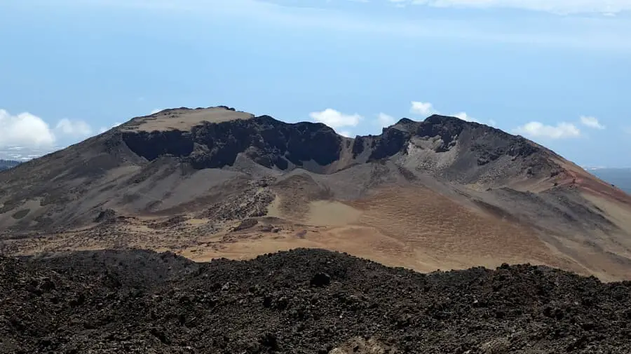
At the top we keep to the right and walk down to the Mirador de Pico Viejo. Here you can risk a glimpse of the Viejo crater. Then we
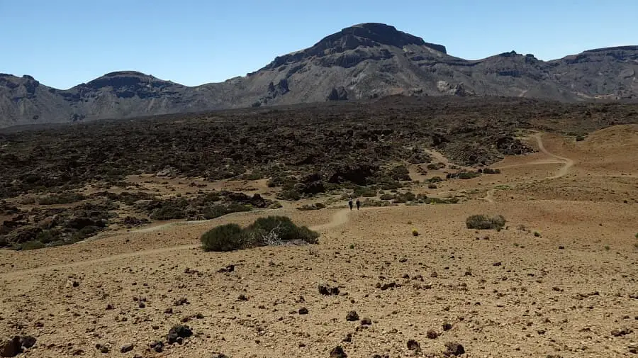
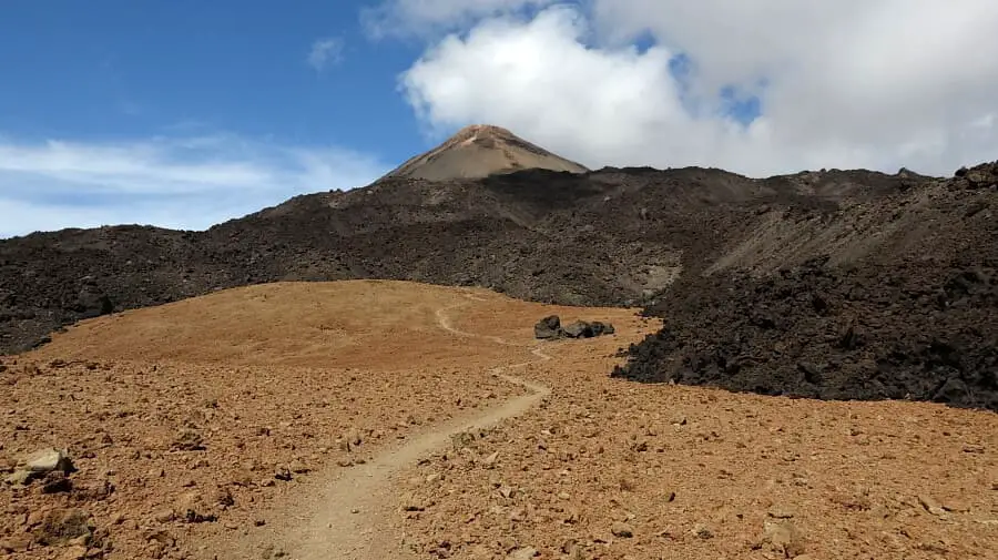
tackle the descent on Sendero 9. It is a steady descent to the crest of Pico Viejo. The ground is rocky and requires the utmost
concentration. At Pico Viejo, the path becomes sandy and flat. Here you can take a breather and enjoy the views. Now we keep to the left
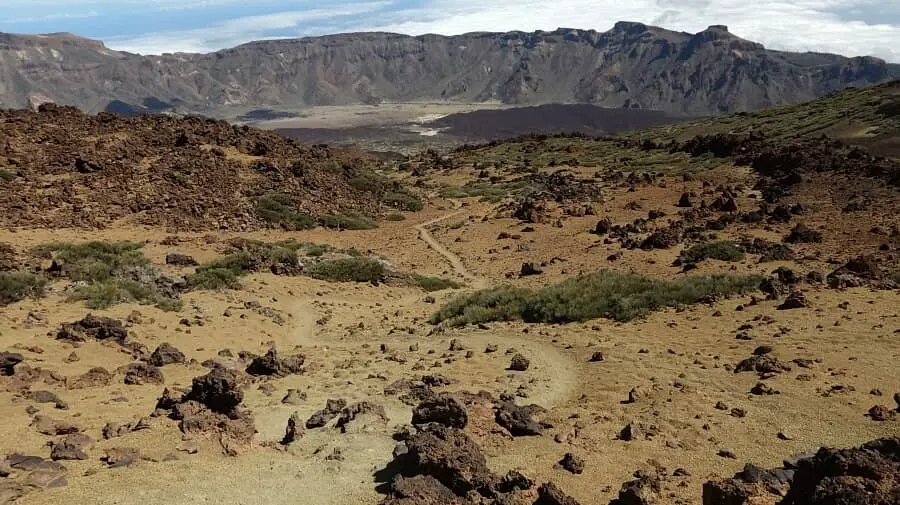
and leave Sendero 9 and continue on Sendero 23. This path is also sandy and not so steep. This makes the descent much easier.
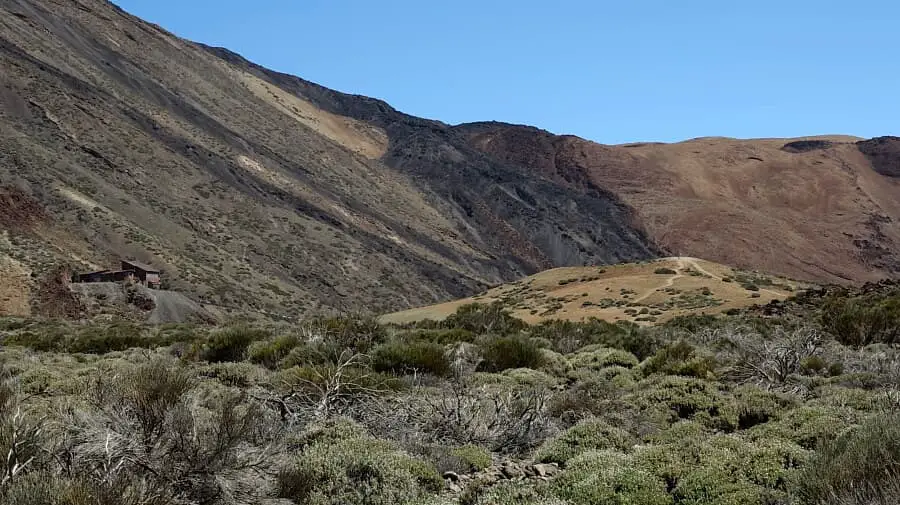
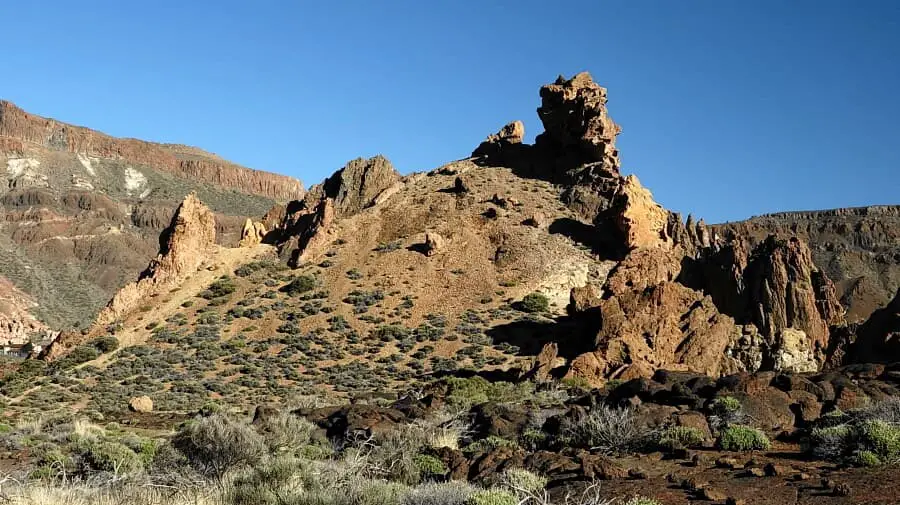
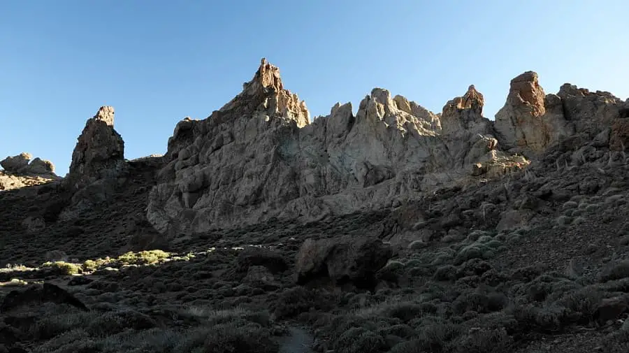
We have another 5 km of steady descent ahead of us to the Roques de Garcia. These and the Parador Nacional can be seen from time to time. The descent is long, even though the path is mostly manageable, it also has some steep and slippery passages. After a total of 4 hours of descent, we find ourselves at the Roques de Garcia. Even if you are already familiar with them, coming from the north you get a completely new view. Arriving at the Parador, we are glad not to have to walk the way to the Teleferico. Everyone should have done this hike at least once.
A detailed description of the route and the GPS track can be found in the Hiking Guide Tenerife.
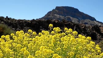
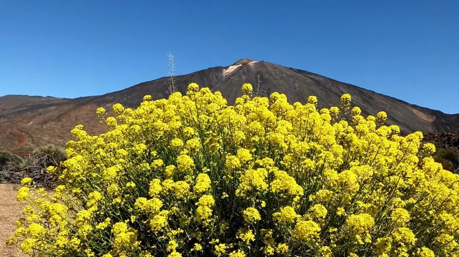
The Teide rocket flowers in summer in large bushes in the Canadas.
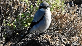
The endemic subspecies of the Mediterranean predatory shrike hunts large insects and lizards. This specimen was watching me during my last break at the Roques de Garcia.