


![]()
Difficulty: middle
Fitness: middle
Fear of heights: easy
Surefootedness: middle
Distance: 12,41 km
Duration: 3:10 h
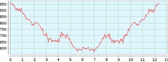
Heights: ![]()
![]() 605
605
Start/End:
Cruz del Carmen
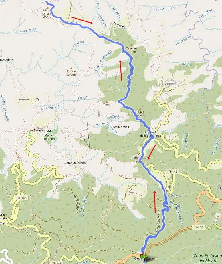

Hike 70: Chinamada
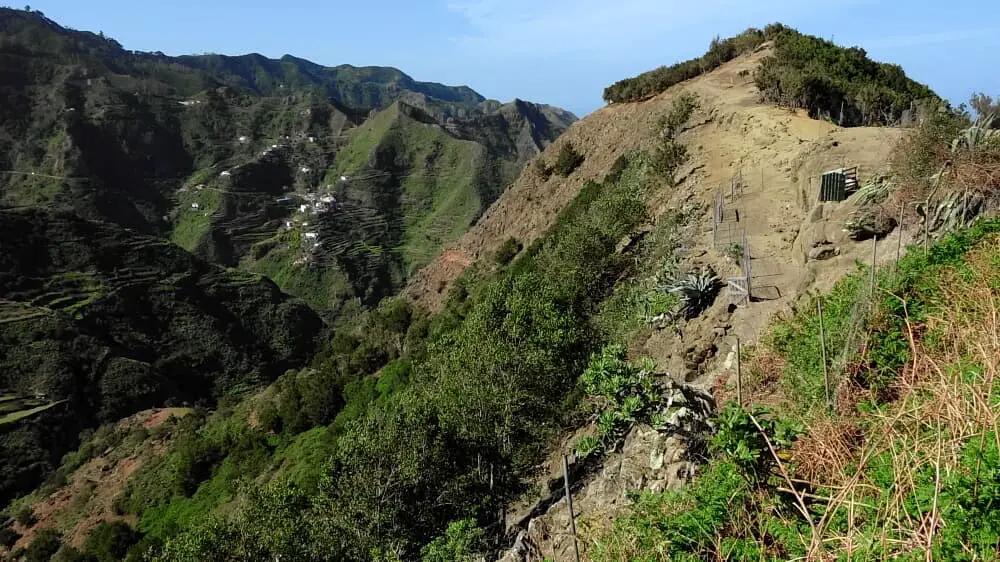
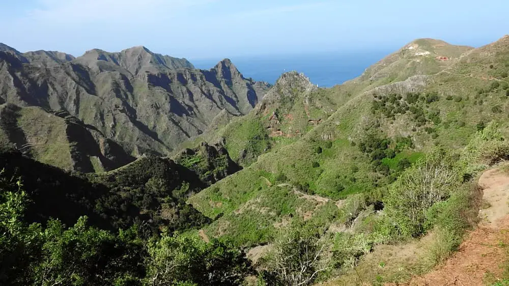
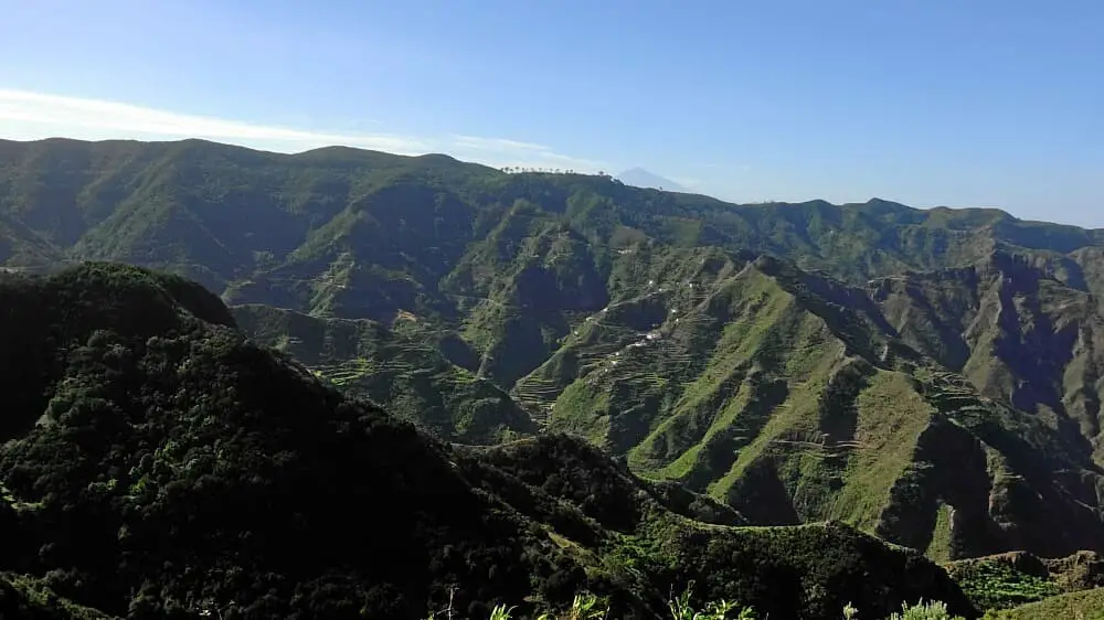
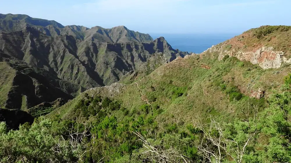
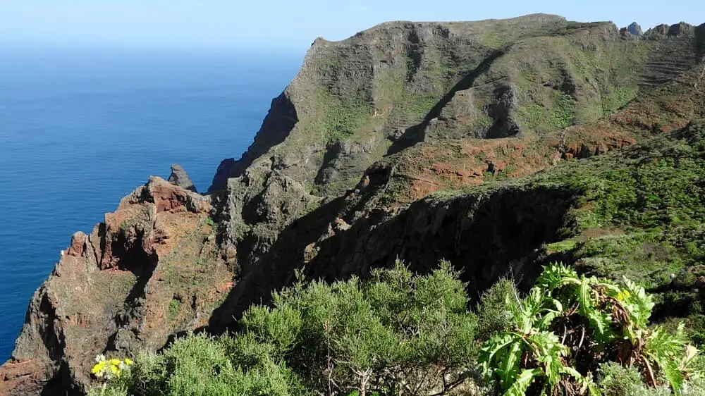
The easiest route to the mountain village of Chinamada leads from Cruz del Carmen first through cloud forest to the Casas del Rio. We pass the Cabezo del Torro, a finca with animal husbandry and the Roque Tenija. On a high trail we can enjoy magnificent views into the Anaga and see the mountain village of Chinamada already from a distance. The dwellings of the 15 inhabitants are in living caves. The people farm on terraced fields. It is worth taking a break in the only restaurant in the village. The prices are still reasonable for the remoteness (closed on Mondays and Tuesdays).
In Chinamada it is worth climbing to the Mirador de Aguaide above the church. From the Mirador take the same path back as the circular route is no longer completely accessible. The easiest way to the mountain village of Chinamada is nevertheless moderately difficult, because the way back involves 440 metres of ascent. Since you have already walked several kilometres downhill, you need a little more energy reserves for the way back.
A detailed description of the route and the GPS track can be found in the Hiking Guide Tenerife.

Photo Gallery