


![]()
Difficulty: high
Fitness: high
Fear of heights: middle
Surefootedness: high
Distance: 16,4 km
Duration: 5:30 h
Heights: ![]()
![]() 1083
1083
Start/End:
Pista Madre del Agua
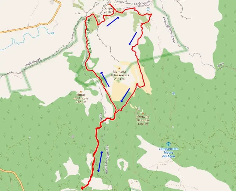

Tour 17: normal route to Guajara
The third variant up the Guajara is very versatile. It starts above Vilaflor 3 km away from the TF-21 on the Pista Madre del Agua.
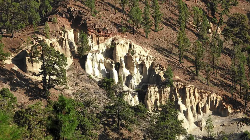
The road to the starting point is a bit bumpy but still easy to ride. At first we climb moderately in the direction of Paisaje Lunar.
After 3 km we take the shortest ascent to the Guajara. The path immediately becomes steeper and the orientation is not very good in parts.
With GPS you can always correct deviations immediately. One section is only passable on an old canal. You often have to swerve left and right.
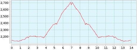
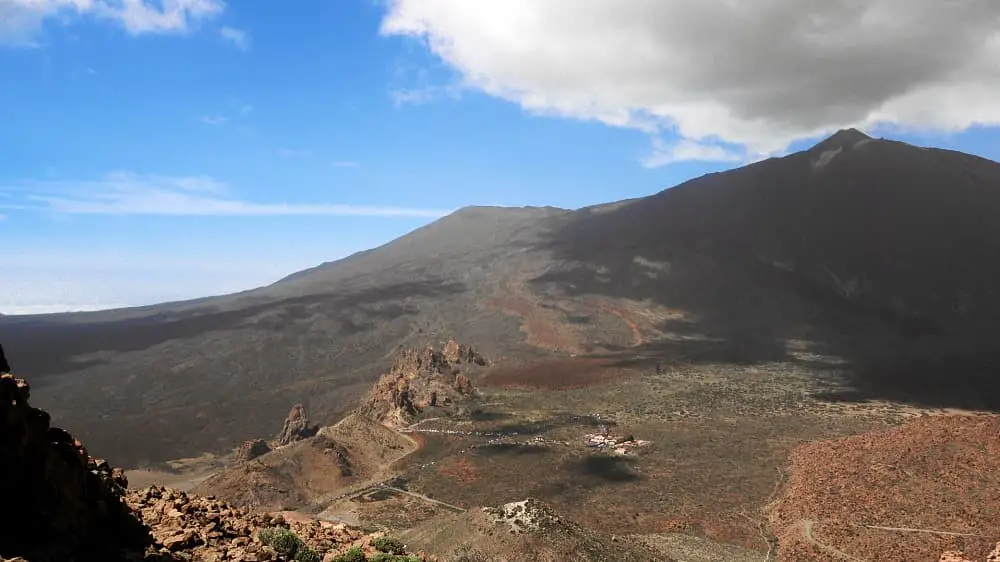
The ascent to Degollada de Ucanca is arduous and completed after a total of 6.3 km. 750 metres in altitude have already been climbed. The last part begins. The path becomes somewhat easier and we find ourselves on the well-marked Sendero 15. On the last 700 metres, we have to cover another 300 metres in altitude. The air becomes noticeably thinner. After a total of 8 km, the summit is reached.
The views of the caldera and Teide are wonderful. The descent is on the Sendero 15, which loses altitude very quickly. We leave the
Sendero 15 on the saddle and descend quickly until we reach a small barranco. Suddenly there is no sign of a path. GPS shows us the path
above the bottom of the valley. So we have to climb out of the barranco again to reach the path.
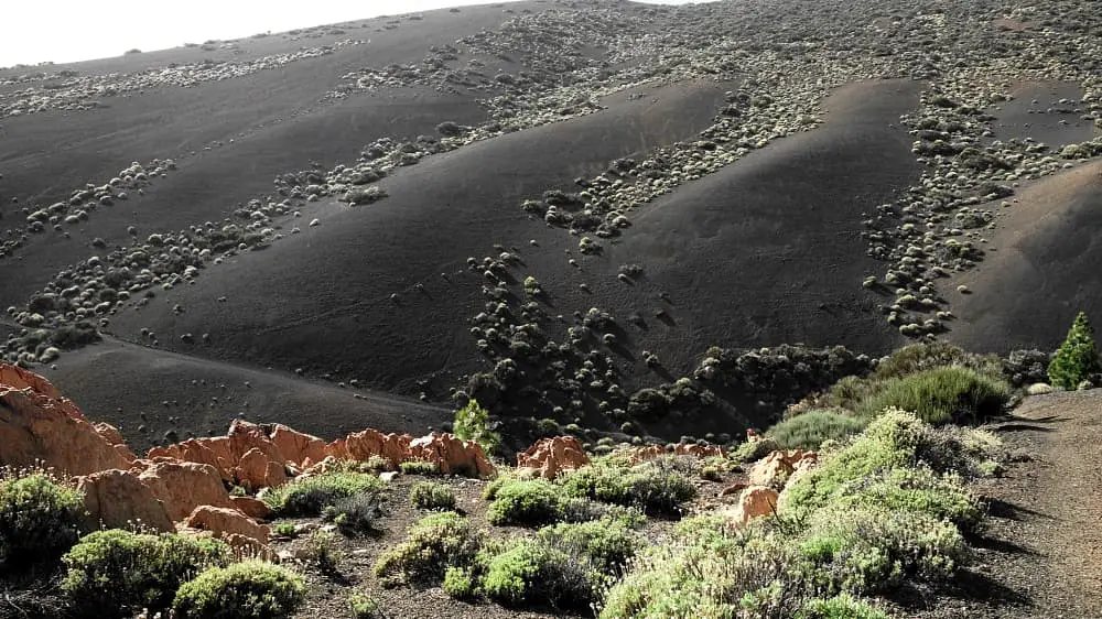
Suddenly you see a black lava landscape in front of you. The lava sand provides a firm base and it is very easy to descend. The
Paisaje Lunar can be seen 200 metres away. We continue to descend on easy ground. After 13.6 km we reach the ascent path and after
another 2.8 km we are at the Pista Madre del Agua.
The hike should only be done with GPS. Good physical condition and surefootedness are also necessary. A detailed description of the route and the GPS track can be found in the Hiking Guide Tenerife.
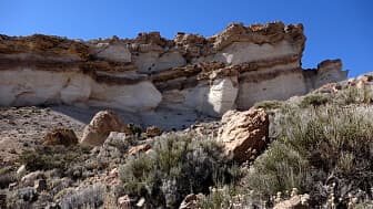
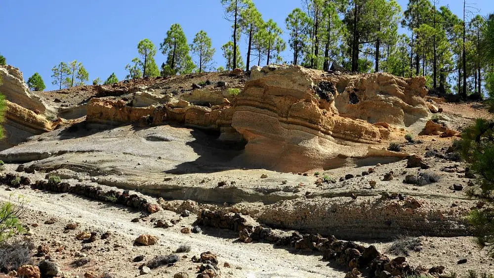
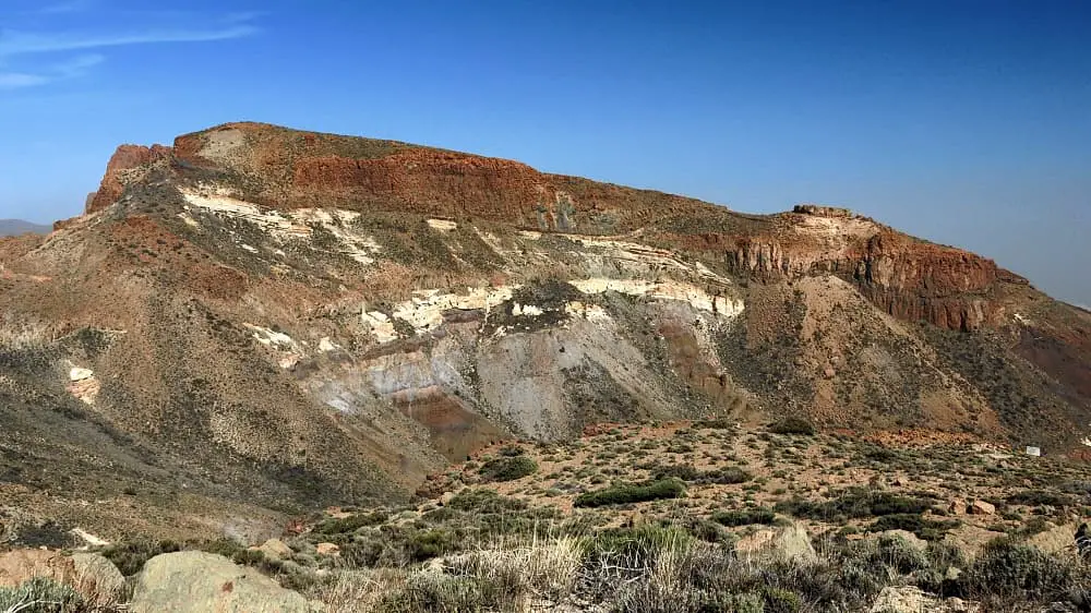
Diesen Fels aus Bimsstein kann man nur auf der Normalroute sehen.
[an error occurred while processing this directive]
Photo Gallery